Attractions of Chuy Region
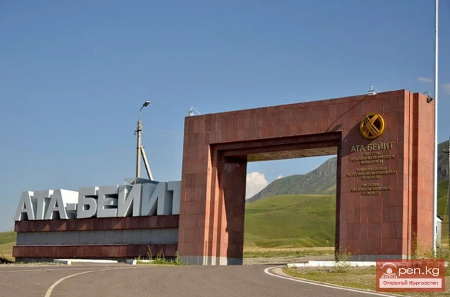
Memorial Complex for the Victims of Repression "Ata-Beyit"
Memorial Complex for the Victims of the Chon-Tash Burial DESCRIPTION OF THE MONUMENT The memorial complex (total area - 2 hectares) consists of a sculptural composition and a museum. The sculptural composition includes: a brick firing oven - the place where 137 people were shot and initially buried; a memorial monument (on September 8, 1999, 137 people were reburied here). The "Ata-Beyit" Museum (area - 400 sq. m) features documents and photographs of the political development of
06.09.2019, 09:45