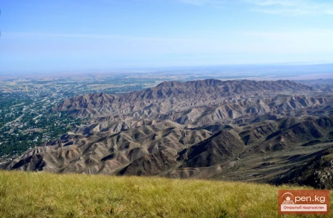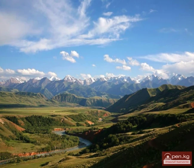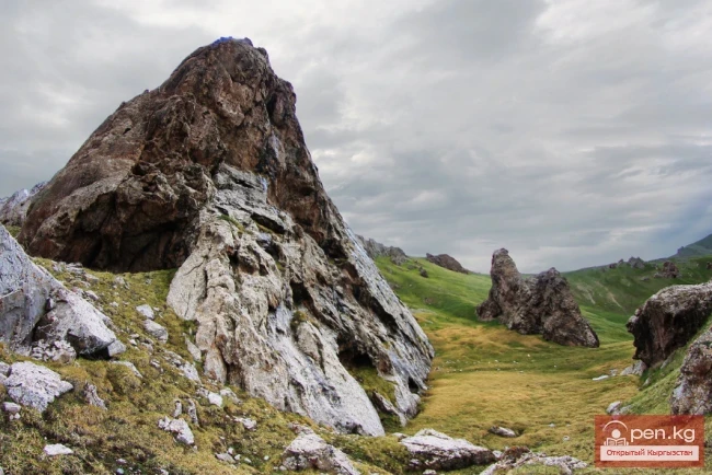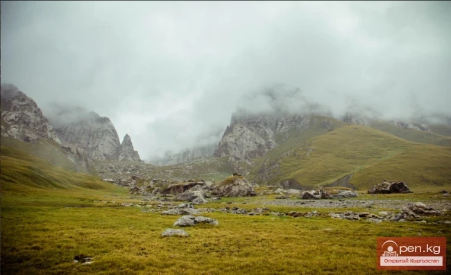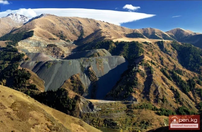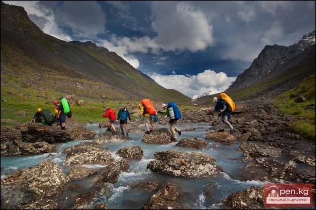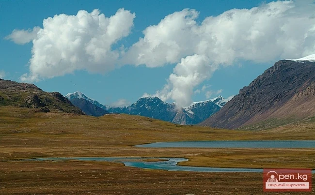
Pastures and valleys
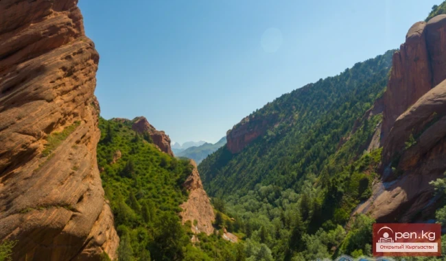
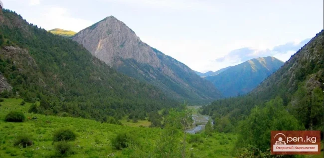
Abshir-Sai Valley
Abshir-Sai, translated from Tajik, means water-milk source The Abshir-Sai area is a picturesque canyon-like gorge located seventy kilometers from the city of Osh. The bottom of the gorge lies at an altitude of 1500 to 2500 meters above sea level.
08.09.2018, 17:02