Lagoon of Tales and Valley of Elephants

admin Blog
VK X OK WhatsApp Telegram
Lagoon of Tales and Valley of Elephants

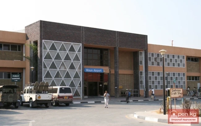
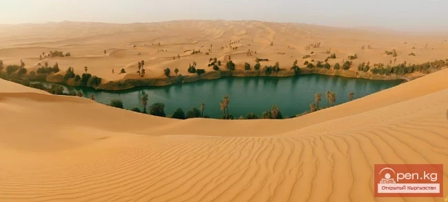
At ten thirty, our mini-plane landed, and we were flying over the Kalahari once again. From this small height, the desert looked like an endless ocean. I would never have thought that the Kalahari was so beautiful. The flat and completely level surface was covered with golden-green blankets of savanna, through which the red patterns of sand dunes and light blue lakes emerged.
The plane flew at an altitude of no more than 500 meters above the ground, avoiding powerful rain clouds. It was very amusing to observe what was happening. The clouds hung isolated and were scattered across the entire visible space. Before us was a picture of heavenly irrigation. Each cloud, from time to time, as if pressing a button, showered the earthly spaces with abundant rain.
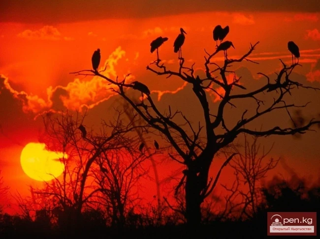
As soon as the life-giving moisture poured from the heavens, the surface of the Kalahari transformed before our eyes. Grasses appeared, dried lakes filled with water, attracting flocks of birds and animals...
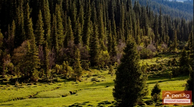
The further north we flew, the greener the Kalahari became. Soon the golden tones completely disappeared from the surface of the earth. In their place came the colors of malachite and emerald.
The winding arms of the bays sank into the greenery of the reed plants. We were at the borders of the greatest delta on the planet, created by the Okavango River, named after the Kovanago tribe living in northern Namibia.
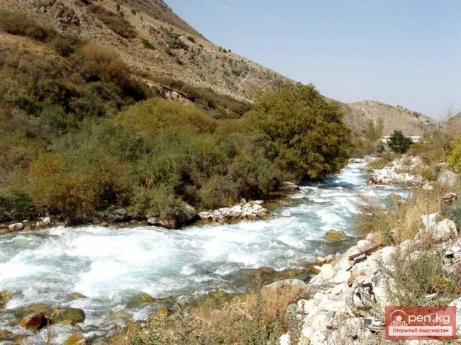
The river is born in the highlands of Angola and flows, against logic, eastward, away from the nearby Atlantic Ocean. In the mountains of Angola, during the usual monsoon period for those latitudes, a lot of moisture accumulates, and the Okavango reliably carries it to the delta, traveling one and a half thousand kilometers. Near the village of Seronga, the river gives its precious moisture to a labyrinth of channels, forming a wide delta that resembles a fan, a world of overgrown papyrus arms, swamps, and sandy islands.
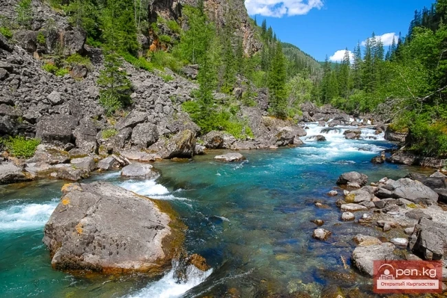
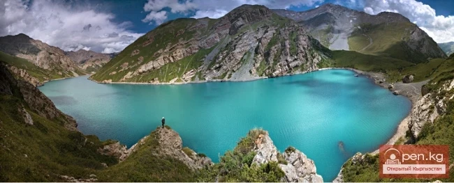
The vast continental delta expands and contracts with the pulse of the March floods. When the water rises in the river, it immediately affects the entire delta. The water in the channels begins to rise and floods the surrounding plains. Breaking through the walls of papyrus, the streams flow onto the flood meadows, cutting off islands with palm trees from the land, and merge into a blue mosaic of lakes.
Due to the flat nature of the terrain and the width of the delta, the river flows very slowly — at a speed of up to one kilometer per day. The greedy sands of the Kalahari pounce on the life-giving stream of moisture. But before sacrificing itself to the desert, the Okavango floods, forming the largest inland delta in the world. The face of the delta is constantly changing. And the reason for this is the river itself and its inhabitants. Termites build islands, and hippos carve channels.
Through these channels, rare visitors to these places make their way through the reed thickets. The only means of transportation are native narrow boats carved from tree trunks. These boats are called "mokola."
VK X OK WhatsApp Telegram

Read also:

The Cry of the Kalahari

The Cry of the Kalahari

The morning is clear and transparent, filled with freshness, sharply revealing the curves of...

Valley of Kok-Kiya

Valley of Kok-Kiya

Rocky Canyons of the Kok-Kiya Valley Kyrgyzstan is rich in beautiful and unique places. In the...

Sharkyratma Waterfall

Sharkyratma Waterfall

Sharkyratma Waterfall It is located about a 40-minute walk from the alpine camp on the way to the...

Lake Merzbacher

Lake Merzbacher

Before your eyes stretches the unrestrained blue of the water, which sharply contrasts with the...

The Smoke That Roars

The Smoke That Roars

The weather was magnificent. The road, like a red arrow, cut through the jungle. It sped towards...

The Valley of Chichkan

The Valley of Chichkan

The Chichkan River flows from the north into the Toktogul Reservoir. It is a small river with...

River Kyzyl-Suu

River Kyzyl-Suu

Kyzyl-Suu (Kyzyl-Suu River, Красная река) - a river in Kyrgyzstan and Tajikistan, the right source...

Diving at Lake Kol-Suu

Diving at Lake Kol-Suu

Geographical Information: The lake is located in the Naryn region, Ak-Sai valley, on the border...

Rice Terraces of Banaue

Rice Terraces of Banaue

It is very hot and stuffy on the plane, and outside the window, it is deep night. We are flying...

The River Aflatun

The River Aflatun

Aflatun River – the largest right tributary of the Kara-Suu River in the Jalal-Abad region. The...

River Karakulja

River Karakulja

Karakulja The Chatkal River in its upper reaches is called Karakulja (translated - Black Ram),...

The Cave of Saint Paul

The Cave of Saint Paul

We arrived in Puerto Princesa by plane from Manila. The runway, flat as a table and paved with...

Zone "Isfayram-Sai"

Zone "Isfayram-Sai"

Zone "Isfayram-Sai". The left tributary of the Isfayram-Sai River is the Surme-Tash...

Chon-Kyzyl-Suu Gorge

Chon-Kyzyl-Suu Gorge

The Red Water Gorge - Chon-Kyzyl-Suu The picturesque Chon-Kyzyl-Suu gorge is one of the most...

Small Naryn

Small Naryn

Small Naryn encompasses the valley of the river of the same name, located between the ridges of...

"Issyk-Ata Zone"

"Issyk-Ata Zone"

Issyk-Ata Zone is located 80 km from Bishkek and includes two gorges — Issyk-Ata and Tuyuk...

"Orto-Tokoy Zone"

"Orto-Tokoy Zone"

The Orto-Tokoy Zone encompasses the territorial foothills at the western end of the Terskey...

Never Give Up

Never Give Up

The Donkey Once, a donkey fell into a well. The owner thought about what to do. Finally, he made a...

Suusamyr Valley

Suusamyr Valley

The length of the valley is 155 km. It is bordered on the north by the Kyrgyz Ala-Too, on the...

Valley of Fallen Stars

Valley of Fallen Stars

As the party was set in motion, called dawn, the sun, breaking away from the surface of the ocean,...

Boom Canyon

Boom Canyon

Boom Canyon is located 112 km from the city of Bishkek and serves as a unique natural gateway...

Zone "Padsha-Ata"

Zone "Padsha-Ata"

The "Padsha-Ata" zone includes the gorge of the same name and is located near the...

Kursheb River

Kursheb River

Kursheb, Kursheb River, in the upper reaches — Gulcha, A river in Kyrgyzstan, flowing through the...

"Alamedin Zone"

"Alamedin Zone"

Alamedin Zone is located 25 km from Bishkek in the valley of the same name and the surrounding...

Zone "Kety"

Zone "Kety"

Kegety Zone is located 75 km from Bishkek in the gorge of the same name on the road to the village...

Chocolate Hills

Chocolate Hills

The airport in Manila is as crowded as an anthill. There are a huge number of flights. The...

River Ak-Suu

River Ak-Suu

The main channel of the Ak-Suu River is at least 20-22 kilometers long. The lower part of the...

Write a comment: