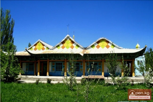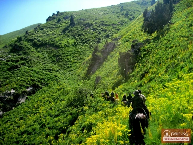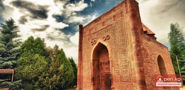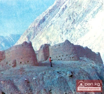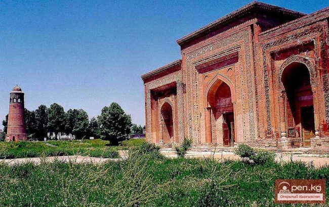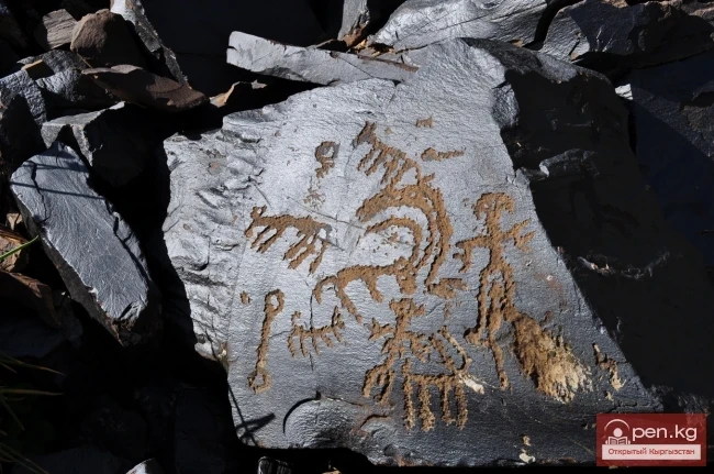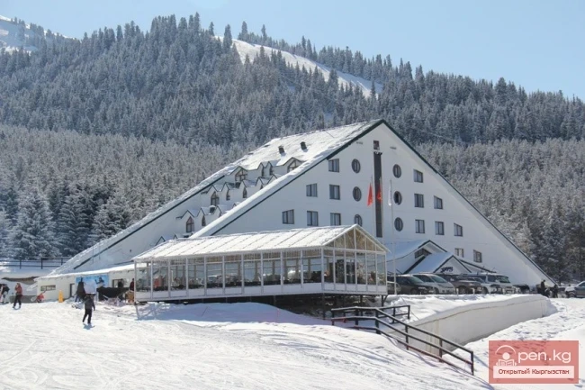
Attractions of Kyrgyzstan
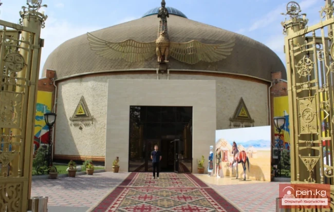
"Dasmiya" - holder of the World International Brand certificate
The Kyrgyz Ethno-Complex “Dasmiya” has been included in the World List of Special Tourist Attractions On June 1 in Moscow, certificates confirming inclusion in the World List of Special Tourist Attractions were presented. Among the list that includes the Eiffel Tower, the Louvre, and the Colosseum, this year a site from Kyrgyzstan has been added - the cultural and ethnographic complex “Dasmiya.” The honorary certificate of global recognition was brought back home by the head of “Dasmiya,”
28.07.2018, 19:45