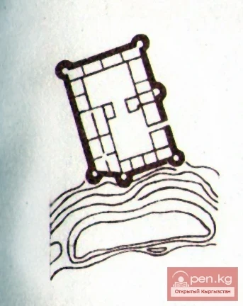
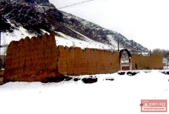
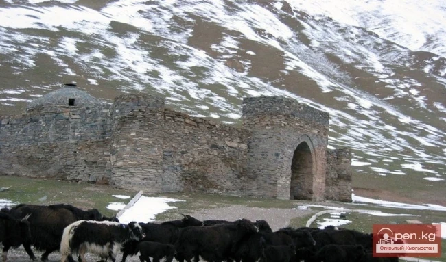
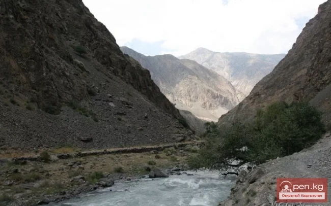
In the middle reaches, the Sokh River receives the tributary Abghol (a river from the lake), at the mouth of which, on a river terrace, lies the village of the same name. Above the village of Abghol stands the Khan Fortress, embodying the power of the Kokand Khanate (17th century). The fortress has been well preserved to this day. In the courtyard, there is a stone slab with rock engravings of animals and horsemen on camels. The drawings are, of course, much older than the fortress walls and have no relation to the fortress itself. A deep excavation divides the fortress into two unequal parts. The part adjacent to the mountainside resembles something like a vast pen, only vaguely resembling a fortress. The western part, which overlooks the Sokh Valley, is a clear citadel, where the garrison was stationed. Both fortifications are connected by a narrow bridge, along which runs an equally narrow corridor. At the point where the corridor meets the citadel, two conical towers rise, which, according to the builders' design, were meant to protect all other corners of the citadel.
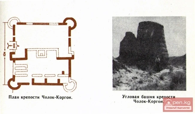
The length of the area on which the fortress is located is 500 m, and the width is about 100 m. Along the edge of the area, a series of fortress walls 2–2.7 m high runs around the entire perimeter, with embrasures arranged in a checkerboard pattern. The area is divided into two halves by a small fence, and, naturally, the fortress is also divided into two parts. The southern part was evidently intended for economic purposes. Here, traces of buildings can be seen. There were two gates: one in the southwest corner, apparently the entrance, and the other, located on the northern side, connected the southern part of the fortress with the northern part. Between them was a small corridor.
On either side of the entrance and connecting gates, at the corners of the fortress and in the center of the fortress walls, there are powerful hollow towers with a diameter of 3 m and embrasures. The southern side of the fortress is fortified by a natural rampart, on top of which runs the fortress wall.

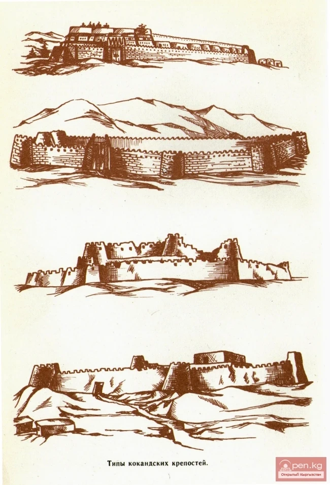
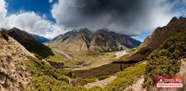
The second, northern part is almost twice as small as the southern one. In its northwest corner, the ruins of three rectangular buildings can be traced. In some places, structures adjacent to the fortress wall are noticeable. In the center of the southern part are gates flanked by two towers, connecting the northern part with the southern part. The fortress does not have a defined geometric shape, and it is difficult to visually determine its dimensions. Strategically, the fortress was located in a very convenient place and was practically impregnable: on one side, it was protected by the steep slopes of the hill, and on the other, by mountains. The fortress controlled the entire intermountain valley of the Sokh River. The most vulnerable point of the fortress was its water supply: if the only irrigation canal was blocked, it could be left without water.
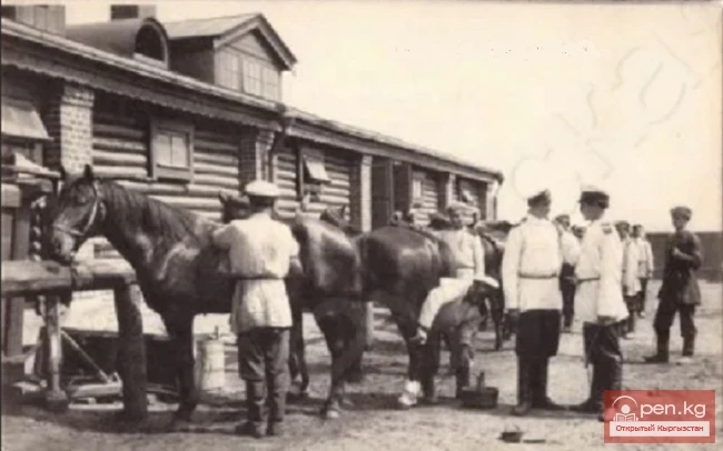
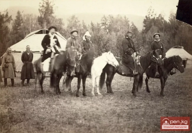
There is almost no information about the fortress in historical sources. There is only a single mention of this fortress, which, by the way, is simply called Sokh, and it is related to the national liberation struggle of the Kyrgyz people against the Kokand oppression in general and against the khan's governor in the fortress, Alim-Kipchak, in particular.

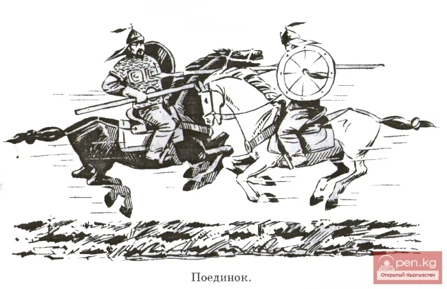
It all began in the spring of 1873 when Khudoyar Khan sent another group of tax collectors to the Sokh Kyrgyz, demanding to collect zakat in much larger amounts than had been collected previously: instead of one sheep per household, the khan demanded three. The population was outraged, the tax collectors were detained, beaten, and some were killed. The uprising spread day by day. In June 1873, the Khan Fortress (Sokh) was besieged and captured — a well-fortified strategic point in the mountains, where the khan's secret treasury was kept. The treasury and the commandant of the fortress, Alim-Kipchak, were seized by the rebels.
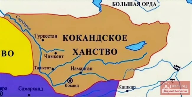
The Sokh Uprising was the first outbreak of a widespread national liberation war against the khan's oppression, which ultimately led to the fall of the Kokand Khanate in 1876 and the voluntary incorporation of the southern Kyrgyz into Russia.
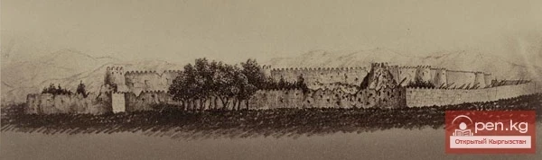
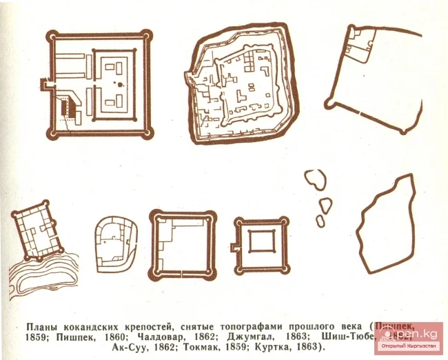
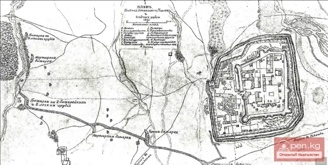
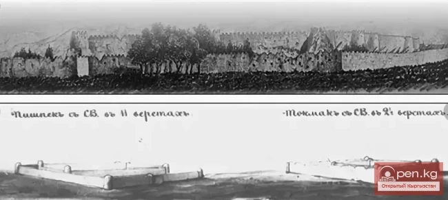
The khan's authority was not helped by the fortifications with punitive garrisons scattered throughout Kyrgyzstan.