Zvezdochka
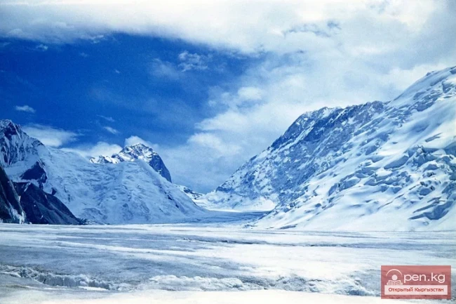
The Zvezdochka Glacier flows into the Inylchek Glacier, 40 km from the tongue of the latter, and is the most powerful of its southern (left) tributaries. The elevation at the confluence of the Zvezdochka Glacier is 4000 m above sea level, and its width reaches 3 km, which is almost the same as that of the Southern Inylchek Glacier. The total length of the Zvezdochka Glacier is 20 km. The glacier is sharply divided into two parts: the upper and lower sections. The upper part runs from east to west, while the lower part runs from south to north (more precisely, SSW-NNE). Thus, at the boundary between the upper and lower parts, the glacier changes its direction almost at a right angle. The length of the lower part is about 10 km, and the upper part is also about 10 km. The lower part is closed off to the south by the ice wall of the peak of the XX-th anniversary of the VLKSM. The reason for the misconceptions about the actual size and direction of the Zvezdochka Glacier seems to be that the Zvezdochka Glacier changes its direction at a right angle, and the upper part of the glacier is hidden from the north by a high buttress (about 6000 m), separating the middle and upper parts of the Zvezdochka Glacier from the Southern Inylchek Glacier. Since the upper part of the glacier is obscured when viewed from the north, only the lower part was considered the Zvezdochka Glacier, which is depicted in the map of the Southern Inylchek Glacier created by Ukrainian expeditions.
The Zvezdochka Glacier has not been visited by anyone to date. It has only been observed from the north and southeast from a considerable distance during the reconnaissance of the Southern Inylchek Glacier and during the ascent of Khan Tengri. Thus, neither its exact contours nor its length were known. The glacier was named by the Ukrainian expedition of Pogrebetsky in 1931. In 1932, a group of geologist Demchenko from the same expedition observed the upper reaches of the glacier from the High Pass, in the col that separates the cirques of the Southern Inylchek and Zvezdochka glaciers.
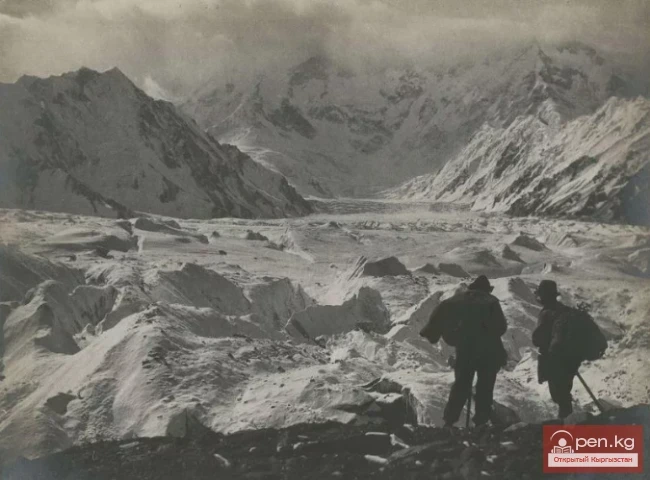
To create a map, the Zvezdochka Glacier was traversed by groups from the Letavet expedition from the point of its confluence with the Southern Inylchek Glacier to its feeding firn basins, with the necessary compass measurements taken. In addition, it was observed and photographed from the slopes of the peak of the XX-th anniversary of the VLKSM. All this provided materials for creating a fairly accurate map of the glacier.
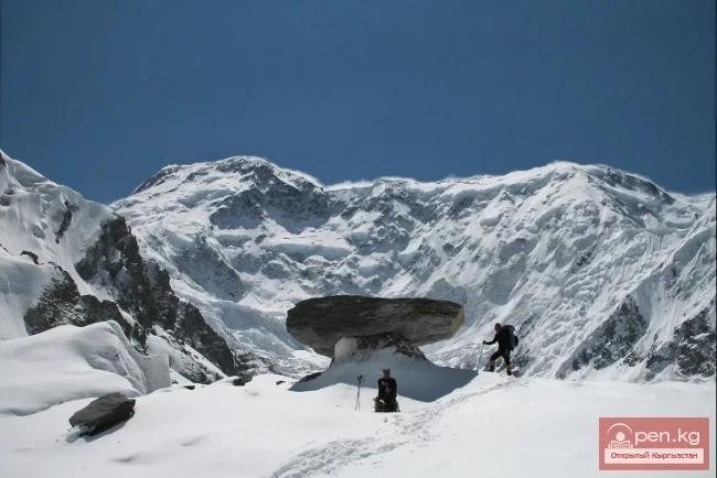
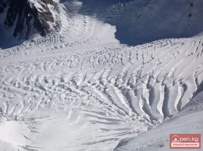
On the right, eight glaciers flow into the Zvezdochka Glacier, originating from the mentioned buttress between the Southern Inylchek Glacier and the Zvezdochka Glacier; of these, 3 glaciers flow into the lower part, and 5 into the upper part. On the left, the glacier is almost entirely bounded by a two-kilometer ice wall extending from the peak of the XX-th anniversary of the VLKSM. The glacier is fed from this side by exceptionally powerful avalanches falling from the ice wall of the peak of the XX-th anniversary of the VLKSM. In the lower part, the glacier is bumpy, with a very complex relief, while in the upper part it is flat but riddled with snow-covered crevasses. On the right, the glacier carries a massive moraine, which deeply (about 10 km) intrudes into the Southern Inylchek Glacier, extending to the Komsomolets Glacier.
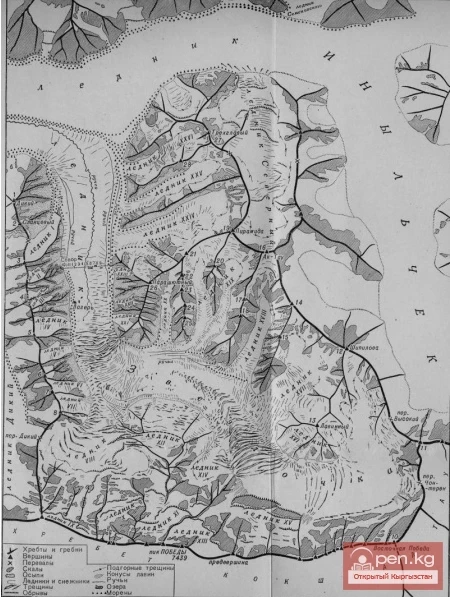
The moraine materials consist of slates with abundant pyrite inclusions and marbles, which mainly make up the massif of the peak of the XX-th anniversary of the VLKSM.
In the cirque of the Zvezdochka Glacier, there is a poorly defined depression in the form of a saddle (the so-called High Pass), leading to the cirque of the southernmost branch of the Southern Inylchek Glacier. Thus, the Zvezdochka Glacier and the southern branch of the Southern Inylchek Glacier share a common firn basin.
