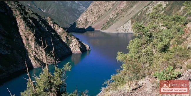
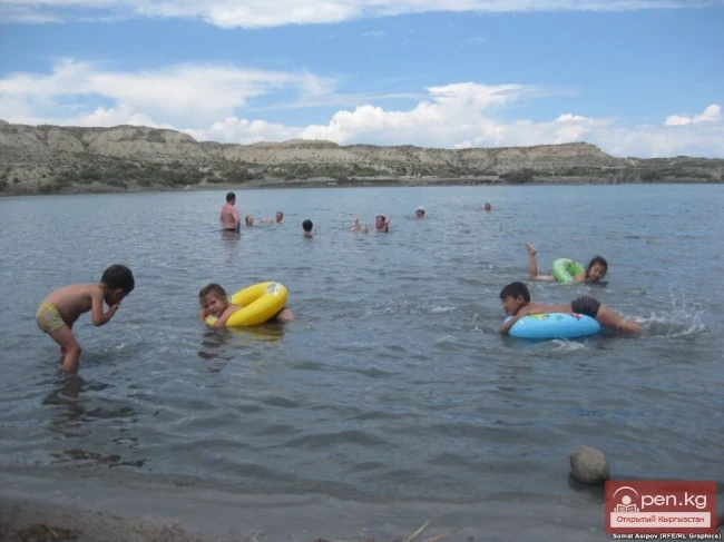
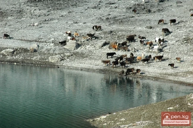
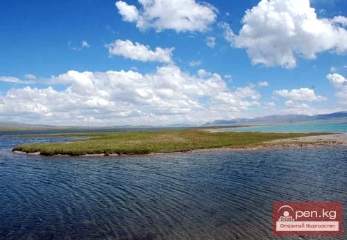
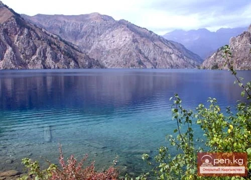
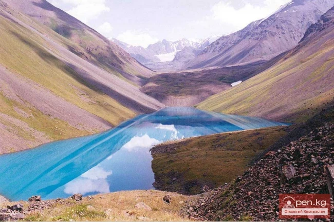
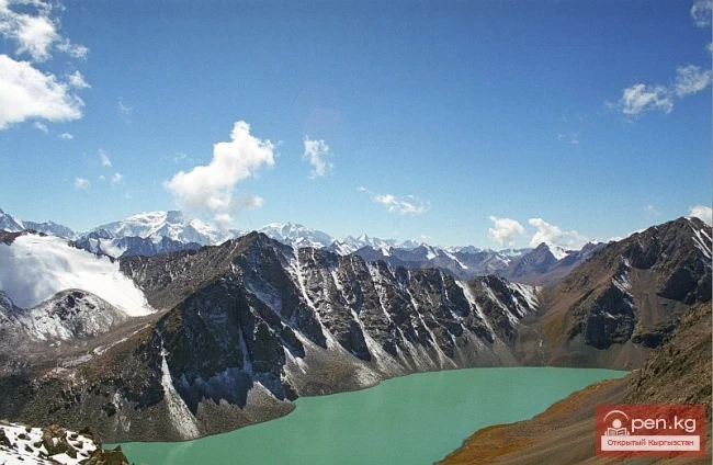
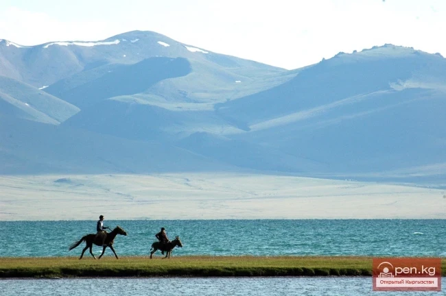
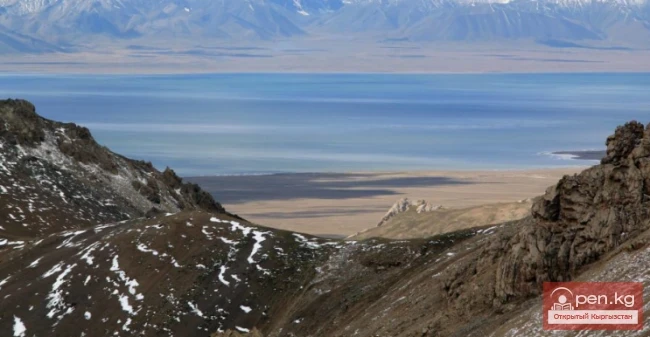
“Chatyr-Kul” translates from Kyrgyz as “Heavenly Lake.” The high-altitude lake Chatyr-Kul is located in the Inner Tian Shan. The height of the lake above sea level is 3530.2 meters. The area of the water surface is 170.6 km². The length of the lake is 23 km, width is 11 km, and the average volume of water is 8.5 km³. It is the highest of the large lakes in Tian Shan, occupying the lowest part of a tectonic depression.
Kulung - "foal" The Kulung and Kulung Minor lakes are a group of lakes, enchanting with their beauty and located in the Osh region of the Republic of Kyrgyzstan, in the western part of the Fergana Range, within the territory of the Kulunatin State Nature Reserve, established in 2004 with a total area of 24 thousand hectares, aimed at preserving the biodiversity of juniper-coniferous forests, at an altitude of 2856 m. The distance between the lakes, connected by the waters of the
Jidalyk - "breast berry" Jidalyk (Zhiydeli) is a famous lake in Kadamjay. It is a landmark of the city and is located at the foot of a mountain, which is the source of water in the lake. The lake itself serves as a source of drinking and healing water, as well as a recreational area. The place where the water flows out is called Katur-Bulak. The name Jidalyk comes from the word "zhiyde," which translates from Kyrgyz as "breast berry." Around Lake Jidalyk, many
Moon Lake On the northern slope of the Turkestan Range lies Lake Ai-Köl, which translates to "moon lake." The area of the lake is 0.82 sq. km. It is located at an altitude of about 3000 m, surrounded by sheer cliffs and boulders, making access to the lake quite challenging. The shores of the lake are steep cliffs that cannot be approached, so it can only be glimpsed through small passes in the foothills. One of these passes offers a place to rest or camp for the night.
Jasyl-Kel - "Emerald Lake". "Jasyl-Kol Lake - 'a diamond in a mountain setting' - is considered one of the most beautiful high-altitude lakes in the mountain systems of the Zailiysky and Kungoy Alatau! This lake is located in the western part of the Chelekokemin ridge, at the point where two large mountain ranges, Zailiysky Alatau and Kungoy Alatau, converge. An incredibly beautiful body of water that continuously changes its color throughout the day. The waters of the
The Salt Lake, also known as the Dead Lake, is located in the territory of the Kunchyghysh rural district of the Ton district. It is 12 kilometers from the central highway. This season, it is visited by an average of 300-500 people per day. According to the staff of the tourist complex, the number of people wishing to visit the Dead Lake has decreased compared to previous years. Tourists began to visit the Salt Lake in 2000. Prior to this, academician Usen Mamyrов of the National Academy of
Lake Kapka-Tash (local residents call it Kol-bashi, which translates to "Source, beginning (head) of the lake"). Indeed, a river flows out of this lake, feeding into the next large lake and filling it.
Lake Kara-Suu is located in the Toktogul district. It is a dam-type lake, and its level depends on the time of year. Lake Kara-Suu is situated in the area of the Taktalyk ridge, at an altitude of about 2000 m above sea level. The dimensions of the lake are 6.5 by 2 km, with an average depth of about 90 m. The shores of Kara-Suu are home to Tien Shan spruce, barberry, rowan, and other plants. The enchanting azure hue of the lake changes depending on the time of day, and one can gaze at it
Geographical Reference: Ala-Kul (Ala-Kyol, Alakul, Alaköl) is a closed lake in the Terkey-Alatau region, in the Central Tien Shan, Kyrgyzstan. It means "Mottled Lake" in Kyrgyz. It is located in the upper reaches of the Kurgaktor River, a right tributary of Karakol, at an altitude of 3532 meters. It has a glacial origin: the glacier, after retreating, still occupies the upper part of the valley. There are no islands in the lake.
Before your eyes stretches the unrestrained blue of the water, which sharply contrasts with the gray-brown rocks, the whiteness of the snow on the peaks, and the boundless blue of the sky. This could be said about many glacial lakes. But Lake Merzbacher is remarkable not only for its beauty — it literally represents a world of icebergs. Here and there rise the whimsical outlines of towers, castles, ice mountains, and ice islands of various shapes. Some floating icebergs reach the height of a
Geographical Information: Song-Kul (possible variants of Russian spelling: СОНКЁЛЬ, Сонг-Кёль, Сон-Куль) is a large high-altitude lake, nestled in a basin between the internal ridges of the Tien Shan, located between the ranges of Song-Kul-Tau and Moldota-Tau, at an altitude of 3,016 meters above sea level in the northwestern part of the Naryn region (Kyrgyzstan). It is a potential site for ecological tourism. Surrounding the lake are pristine pastures and a protected area. The nearest major
Geographical Information: An astonishingly beautiful corner of nature in southern Kyrgyzstan at an altitude of 1940 meters above sea level. The lake is located in the area of relict walnut-fruit forests and is part of the natural complex of biosphere resorts.
In the territory of Kyrgyzstan, there are 750 lakes, reservoirs, and small ponds with a total area of 6836 km², which accounts for 3.4% of the territory of the republic. Among them, 16 lakes and 11 reservoirs each have an area of more than 1 km². Many lakes are small, with a surface area of 0.02—0.2 km². Predominantly, the lakes are located in the high mountain zone, at the ends of glaciers, at altitudes of 3000—4000 m.
There are relatively few lakes in the Chui Valley and its mountainous surroundings, and all of them are small. The Kyrgyz Ridge contains several dozen mountain lakes. The vast majority of these are very shallow lakes, with a diameter of no more than 0.1-0.2 km. Most of the lakes are located at altitudes of 3000-3500 m. They are fed by meltwater from glaciers and snow, as well as rainwater. In the basin of the Issyk-Ata River, there are three lakes with a total area of 0.09 km². The largest