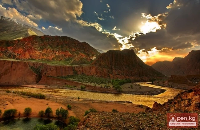
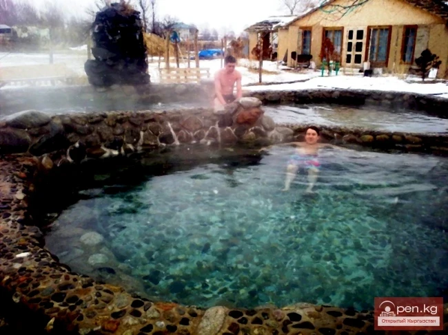
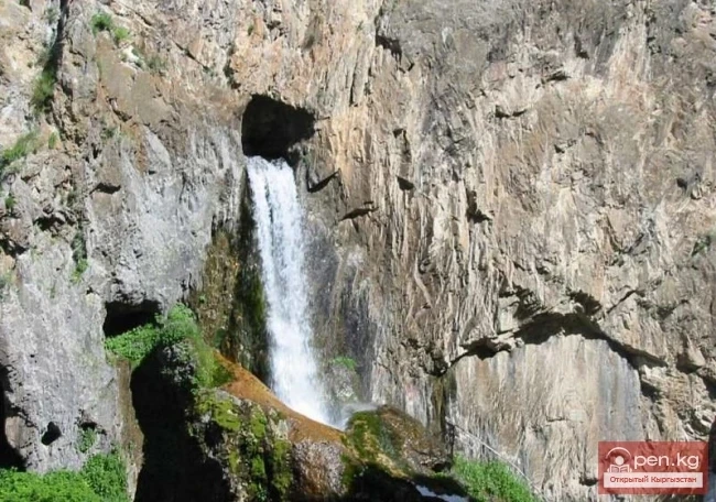
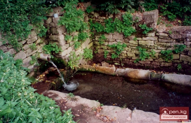
According to their morphometric data and regime, artificial water bodies—reservoirs—are similar to lakes. They are created by human hands for the rational use of water resources and over time integrate into the natural-territorial complex as one of the components of the landscape.
In the territory of Kyrgyzstan, there are 750 lakes, reservoirs, and small ponds with a total area of 6836 km², which accounts for 3.4% of the territory of the republic. Among them, 16 lakes and 11 reservoirs each have an area of more than 1 km². Many lakes are small, with a surface area of 0.02—0.2 km². Predominantly, the lakes are located in the high mountain zone, at the ends of glaciers, at altitudes of 3000—4000 m.
The formation of runoff and the hydrographic network in the territory of Kyrgyzstan is greatly influenced by the orographic structure and relief, climatic conditions, and the presence of glaciers. The mountain ranges of Kyrgyzstan act as barriers to moist air masses coming from the west, northwest, and north, and serve as natural accumulators of atmospheric moisture. The leading ridges and their corresponding slopes are better supplied with moisture than the opposite eastern, southeastern, and
As a result of non-tectonic movements, intermountain depressions and mountain uplifts were formed. The depressions consist of weakly cemented and loose deposits, while the mountain uplifts, composed of Proterozoic and Paleozoic rocks, have undergone complex tectonic disturbances and are permeated by numerous various fractures. Groundwater is concentrated in the fractured zones, emerging as springs on the surface and being used for water supply. The main (predominant) groundwater resources in
On a hot summer day on the shores of Lake Issyk-Kul, one can observe a strange sight. Adults, seemingly respectable, walk covered in mud. Their legs and arms are especially abundantly coated in clay. Some even manage to smear their bellies. Others—what a wonder!—completely bury themselves, leaving only their heads above the fine sandy shore of the lake.
There are relatively few lakes in the Chui Valley and its mountainous surroundings, and all of them are small. The Kyrgyz Ridge contains several dozen mountain lakes. The vast majority of these are very shallow lakes, with a diameter of no more than 0.1-0.2 km. Most of the lakes are located at altitudes of 3000-3500 m. They are fed by meltwater from glaciers and snow, as well as rainwater. In the basin of the Issyk-Ata River, there are three lakes with a total area of 0.09 km². The largest
The Chui Valley has a developed river network. The river network is especially dense on the northern slopes of the Kyrgyz Ala-Too. Most of these rivers belong to the basin of the Chu River. The small rivers in the northwestern part of the ridge disappear into the waterless plain as they exit the mountains. The main water artery is the Chu River. The area of the watershed is over 50,000 km². The length of the river, along with the Joong-Aryk River, is 140 km, while within the Chui depression it
Groundwater is one of the main water resources of the Kyrgyz Republic (KR). They are characterized by a high content of biologically active mineral (and less often organic) components and possess specific physicochemical properties (radioactivity, etc.), which underlie their effects on the human body and therapeutic applications.
Narrow echoing gorges, through which in the gloomy depths flows a river bound by rocky jaws; tributaries falling into it, hanging villages clinging to the terraces, autumn-blazing orchards of wild apricots, fortresses and burial mounds where once warriors in chainmail and bright cloaks walked, armed with swords and spears - all this is Sokh. Caves, winding paths above the boiling river, rickety bridges, and finally, one of the largest waterfalls, not far from the hidden village of Zardaly
This area is located 40 km from the village of Kadamjay, where the best antimony in the world is produced. Kadamjay is situated along the banks of the Shakhimardan River, which flows down from the northern slopes of the Pamir-Alai. The Shakhimardan River is formed by the tributaries Ak-Suu (on the left) and Kok-Suu (on the right). Below their confluence rise two cliffs: Kala-Choku and Uzun-Choku. In ancient times, these cliffs served as natural fortresses. Many tools of primitive man and
Abshir-Sai (Waterfall Gorge) is located in the mountain valley of the river of the same name, flowing from the northern slopes of the Kichik-Alai mountain range. The distance from the city of Osh to Abshir-Sai is 70 km. The mountainous part of the valley begins with rocky, distinctive gates formed by layers of limestone, standing out against the backdrop of picturesque slopes.
Kekemeren River is one of the most amazing and beautiful rivers in Kyrgyzstan. The Kekemeren is formed by the confluence of the impressive rivers Suusamyr and Eastern Karakol. The beauty of the Kekemeren lies in its mighty energy, unusual greenish color, multicolored steep banks, striking bends, rapids, and floodplain forests. For 199 km, up to its confluence with the Naryn, stretches the realm of the "Green River" (as some tourists call the Kekemeren). Along the riverbank, there is
Therapeutic Resources of Kyrgyzstan Currently, more than 120 natural mineral water springs have been discovered in the territory of the republic. Among them, mineral waters of almost all known types are noted.