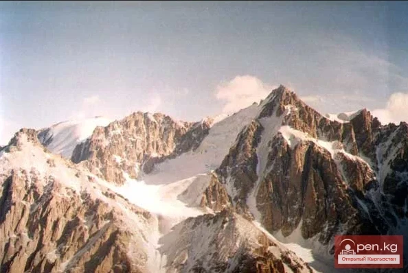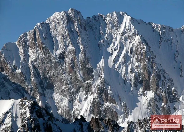
Mountain peaks
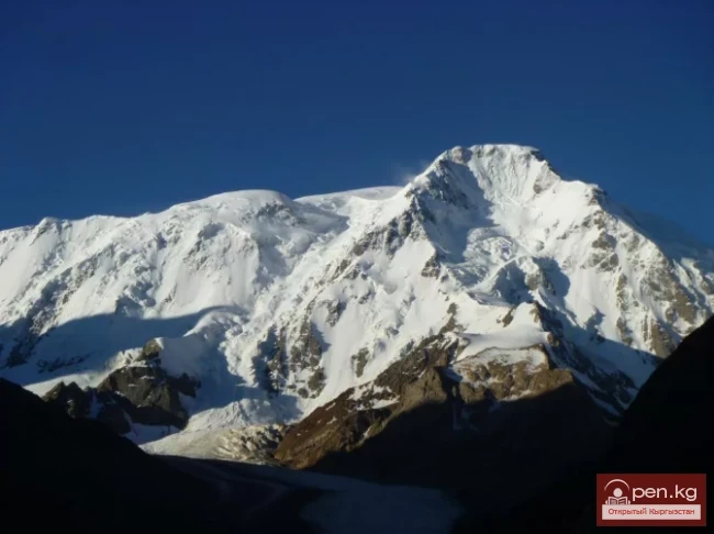
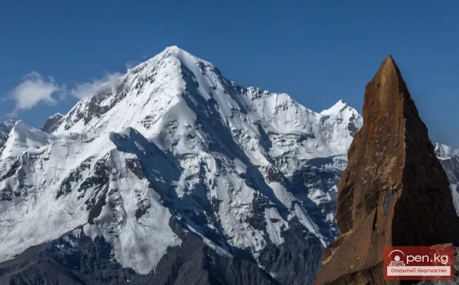
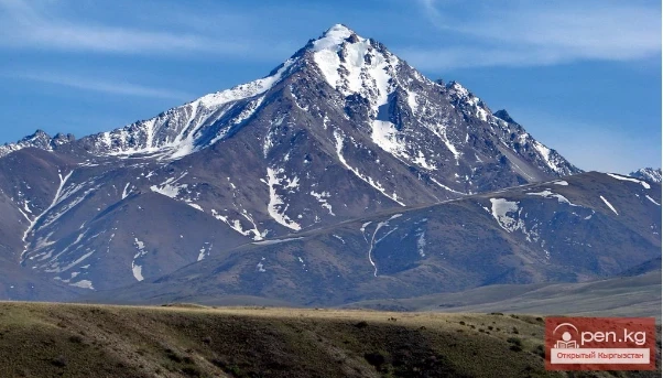
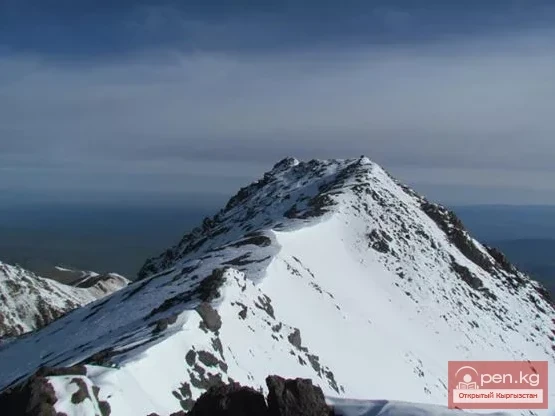
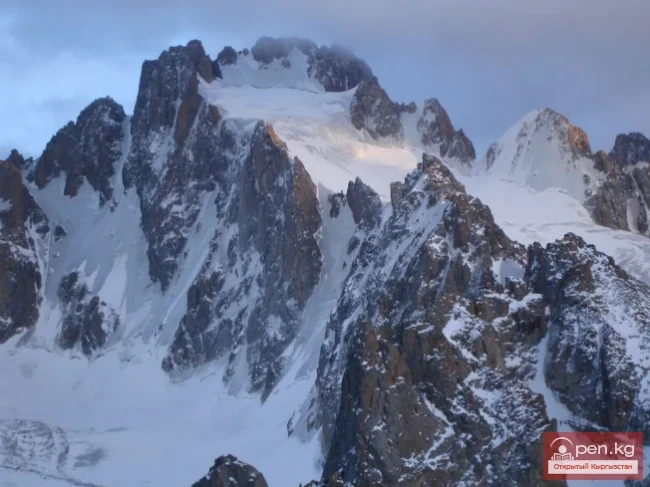
Peak of Military Topographers
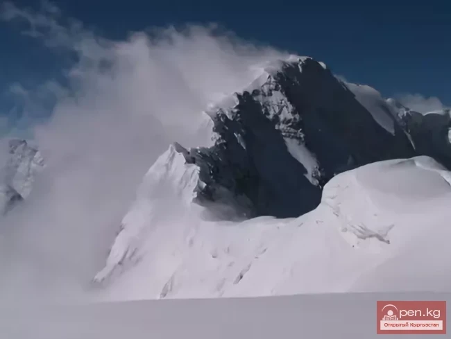
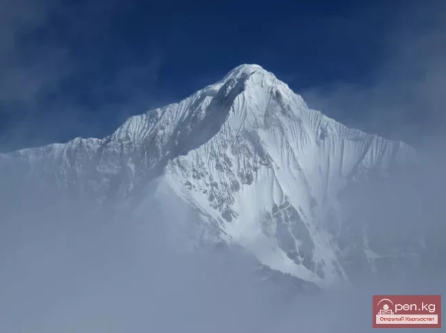
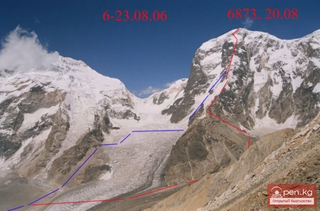
Peak of Military Topographers, Height 6873 meters above sea level. Located in the Central Tien Shan on the Muztag massif. The memory of the immense work of military specialists is immortalized in the name of one of the neighboring peaks, located to the east of Victory Peak at the junction of the Kokshaala-Tau and Meridional ridges. This peak, with a height of 6873 meters, is named the Peak of Military Topographers and is the third highest in the Tien Shan.
07.06.2019, 21:25