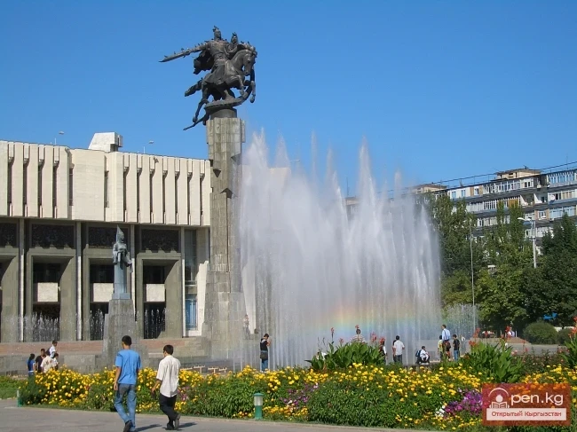
Bishkek / Miscellaneous information about Kyrgyzstan
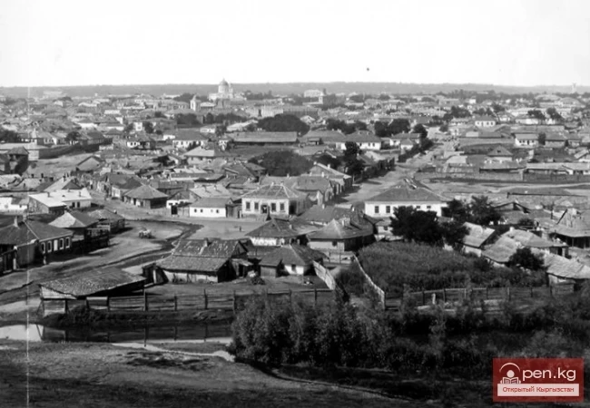
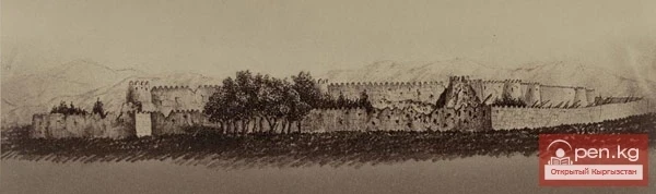
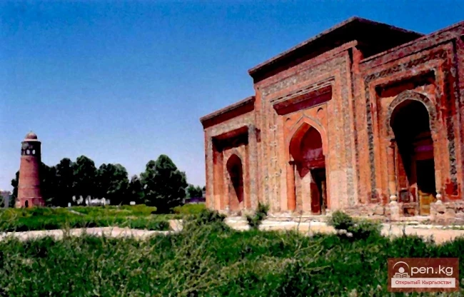
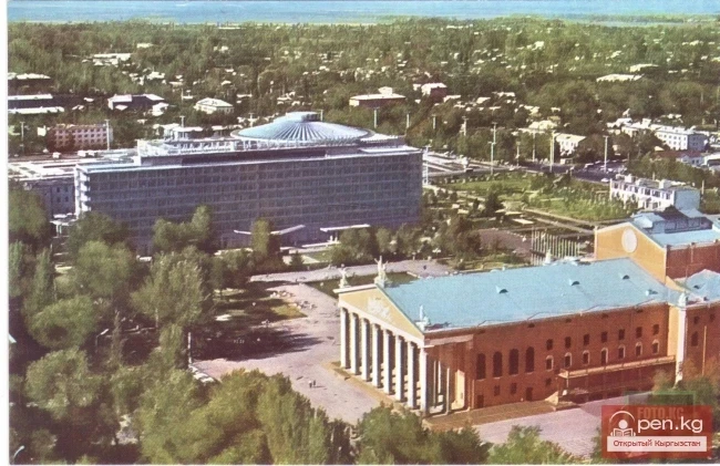
From the Kokand Fortress to the City of Frunze. The City of Frunze
CITY OF FRUNZE After the Great October Socialist Revolution, Kyrgyzstan was partially included in the Turkestan ASSR established in 1918. In August 1924, a decision was made regarding the national delimitation of Central Asia. On October 14, 1924, the 2nd session of the All-Russian Central Executive Committee (VTSIK) resolved: "In accordance with the expressed will of the working and peasant masses of the Karakirghiz people, to grant the Karakirghiz people the right to withdraw from the
22.02.2015, 10:55