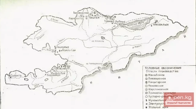
The City of Osh in the 1880s
According to all the aforementioned eyewitness accounts, there was no particularly sharp contrast between the central part of Osh and its outskirts, which is so characteristic of large industrial cities in European Russia, despite the generally low density of construction. However, another contrast was emerging and becoming increasingly apparent, unanimously noted by contemporaries: between the old - "native" - city and its new, "Russian" part being created by the tsarist administration. Characterizing the old part of the city, a Muslim newspaper published in Orenburg wrote: "As in many cities of Turkestan, in the city of Osh the houses are built in disorder, the streets are narrow, uneven, and winding."
The new part of the city was being developed according to a plan. The very organization of the urban territory creates one of the features characteristic of each individual city. For the urban lands of Osh, the absolute predominance of extensive estate territory over the relatively small area occupied by market squares, streets, state and administrative buildings is typical. The agricultural lands present within the city limits gave Osh, like many other ancient Central Asian cities, an even more rural appearance.
To provide a complete impression of this oasis, let’s present some statistics. The first summarized statistical data on land ownership in Osh dates back to early September 1882. At that time, the surveyor of the Osh organizational commission, senior land surveyor Ivanov, signed the first city plan. The total area of the urban allotment was 2873 desyatins and 680 square fathoms. This area included only the territory of the newly developing upper, or new, so-called Russian part of the city.
It included the most suitable lands for farming with a total area of 2,222 desyatins and 720 square fathoms, as well as so-called "unproductive" lands - 422 desyatins and 720 square fathoms. The state allotments amounted to 52 desyatins and 1,500 square fathoms, while the waqf lands accounted for 51 desyatins and 1,340 square fathoms (including 10 desyatins and 730 square fathoms of unproductive land). The latter indicates the remnants of a still quite significant land ownership of the Muslim community within the city limits.
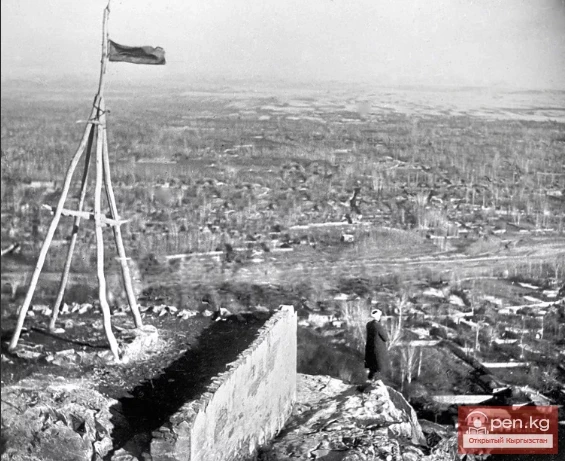
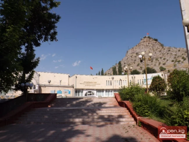
More detailed information about the urban allotment land and its various categories is provided in the cartouches of the two subsequent city plans - from 1888 and 1912. The basis of the 1888 plan, compiled by the surveyor of the Fergana regional administration Rychkow, was a similar document from 1882, verified during a repeat survey and clarified by the Osh land surveyor Popov. The numerical data in the cartouches of these plans almost completely coincide, and from the 1888 plan, it is evident that under the river and ditches within the city, 41 desyatins and 100 square fathoms were recorded. During the survey of the "internal situation" of the urban allotment of Osh in 1888, it was found that: under city blocks, buildings, and gardens - 1,015 desyatins and 605 square fathoms, under streets, alleys, and public squares of the city - 140 desyatins and 350 square fathoms, under cemeteries - 16 desyatins and 1,085 square fathoms. Under mosques and gardens ("groves") occupied 11 desyatins and 1,085 square fathoms. Under arable land - 380 desyatins and 2,230 square fathoms. "Under the steppe" - 1,200 square fathoms. Under the "steep banks of the Ak-Buura River and the rocky mountain of Suleiman" - 76 desyatins and 1,950 square fathoms. The total area of the city was attributed to 1,742 desyatins and 1,420 square fathoms of such heterogeneous territory. The area of Osh by 1910 was 17 square versts.
Osh through the eyes of foreign travelers at the end of the 19th century