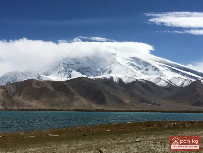
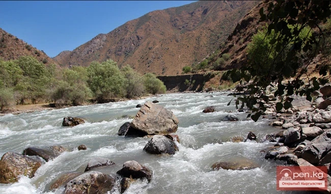
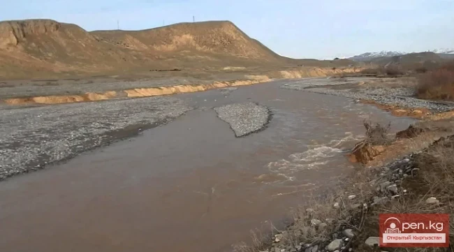
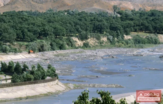
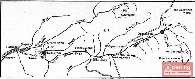
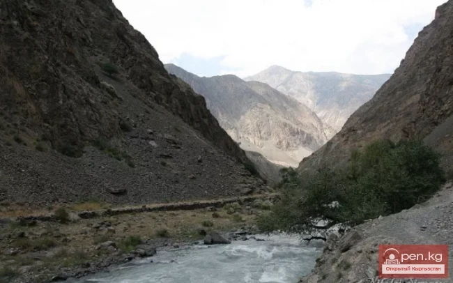
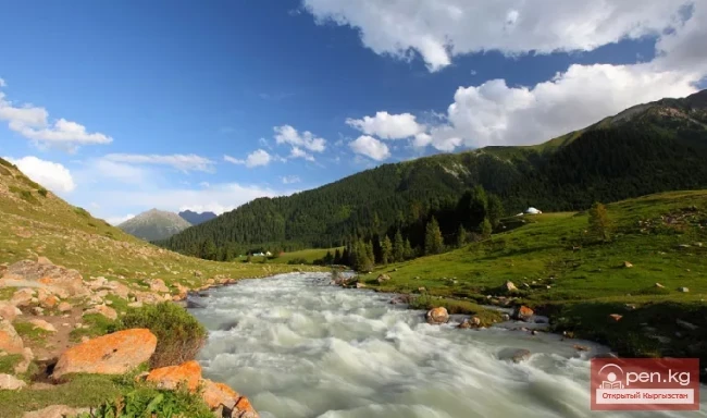
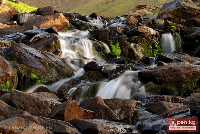
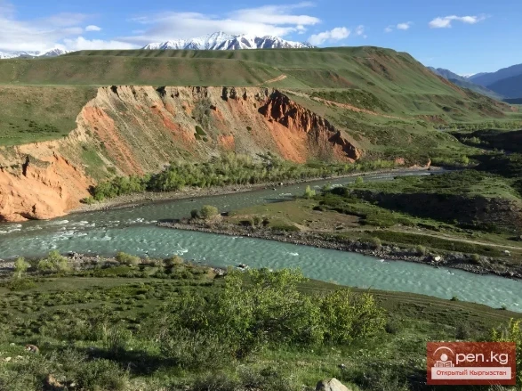
River Tributaries The existence of powerful glacial nodes, large areas occupied by snowfields, and groundwater outflows in the Tien Shan and Alai mountains leads to the formation of a dense and branched hydrographic network. All major rivers of Kyrgyzstan originate high in the mountains near glaciers and snowfields. The water flow of the rivers is related to the absolute basins, their degree of glaciation, and the area of snowfields that feed the rivers. In the lower reaches, due to intense
Kasansay (Kyrgyz: Kasan-say, Uzbek: Kosonsoy) A river in Kyrgyzstan and Uzbekistan, a right tributary of the Syr Darya. In its upper reaches, it is called Chalkydysay. Length — 127 km, basin area 1780 km². It originates on the southern slope of the Chatkal Range in the Western Tian Shan.
Tauskandarya - "Raging River" A river in Kyrgyzstan and the Xinjiang Uygur Autonomous Region of China, in its upper reaches known as Kokshaal. It originates in the mountains south of the Kyrgyz city of Naryn. It flows eastward and merges with the Aksu River, which in turn is a tributary of the Tarim River. It is formed by the confluence of the Aksay and Myuduryum rivers. The name "Tauskandarya" likely comes from the combination of the words dar'ya ("river")
Kyzyl-Suu (Kyzyl-Suu River, Красная река) - a river in Kyrgyzstan and Tajikistan, the right source of Surkhob. It flows from east to west through the Alai Valley. At an altitude of 1834 m, merging with Muksu near the village of Dombrach, it forms the Surkhob River. The length is 242 km (from the source of Aylama to Muksu). Of these, 193 km flows through the territory of Kyrgyzstan and 49 km - through Tajikistan. The basin area is 8380 sq. km.
Kashgar Kashgar (Kyzyl-Suu, Uluu-Chat (Ulugchat), Kabaatsu, Kyzylsu, Aavatusten Canal, Kashgar, Faizabad Darya, Chon-Kashgar Darya) is a river in the west of China, with its upper reaches in Kyrgyzstan and Tajikistan. Previously, Kashgar flowed into the Yarkand River, but now it is lost in the sands. Length — 765 km, including 685 km on the territory of China, with a catchment area of 90.8 thousand km². The average water flow near the village of Kafka is 80 m³/s.
The main channel of the Ak-Suu River is at least 20-22 kilometers long. The lower part of the valley, crossing the first terrace of the Chatkal Valley, has a wall-like character. Passing through the second terrace of the main valley of the Chatkal River, the Ak-Suu has carved a deep canyon that is completely impassable for 1-1½ km. Then the valley widens somewhat, with mixed forests growing near the water, and many junipers and shrubs on the slopes. As it approaches the Main Ridge, the valley
Aflatun River – the largest right tributary of the Kara-Suu River in the Jalal-Abad region. The valley of the Aflatun River leads to the most accessible pass connecting the Chatkal Valley with Fergana. The lower steppe part of the valley stretches for about 6-7 kilometers. Two river terraces are covered with dry grass, and only at the very bottom, by the riverbed, there is a narrow strip of green trees. Further, the river deepens into a rocky canyon, the walls of which rise as they approach
Karakulja The Chatkal River in its upper reaches is called Karakulja (translated - Black Ram), which is formed by the confluence of Kara-su and Ak-su. It flows through the territory of the Osh region of Kyrgyzstan. The two main sources of Kara-su originate from small glacial lakes at the foot of the ridge connecting the Chatkal Range with the Uzun-Akhmat and Talas ranges. The more water-rich Ak-su River originates from a valley-type glacier flowing down from the Chatkal Range. This glacier,
Kursheb, Kursheb River, in the upper reaches — Gulcha, A river in Kyrgyzstan, flowing through the Osh region, a left tributary of the Karadarja River (Syr Darya basin), it flows into the Andijan Reservoir. The river originates from the northern slope of the Alai Range and is classified as a snow and glacier-fed river. After receiving the Jusal River from the right, the river Gulcha is named Kursheb. Kursheb flows through a deep valley and has about 40 tributaries along its entire length. It is
Kugart The Kugart River (Kek-Art), in the valley of the same name in southern Kyrgyzstan, is a right tributary of the Karadarja River, originating on the southwestern slopes of the Fergana Range. It flows through the city of Jalal-Abad. The river is fed by snow, has a wide gravel floodplain, and steep banks, and is characterized by significant variability in flow, increased sediment transport, and a debris flow nature. A feature of the Kugart River is that it practically does not carry its
Isfará — a river of the Syr Darya basin The river basin encompasses the Isfara and Kanibadam districts of the Sughd region of Tajikistan, the Batken district of the Batken region of Kyrgyzstan, and the Besharik district of the Fergana region of Uzbekistan. It originates from the glaciers of the Turkestan Range at an altitude of over 5000 m and flows north through the Fergana Valley to the Syr Darya River. From the Isfara district to the northern foothills of the Turkestan Range, where the
Chatkal - a mountain river in Kyrgyzstan and Uzbekistan, Before the formation of the Charvak Reservoir, it was the left tributary of the Chirchik River (Syr Darya basin). It originates on the southwestern slopes of the Talas Alatau. In its upper reaches, it flows through a wide ancient glacial valley. Below the confluence with the Ters River, the valley narrows, transitioning into a deep gorge. The banks of the Chatkal River form terraces 7-10 m high. The river often splits into channels. After
Isfayramsay A river in Kyrgyzstan and Uzbekistan, a left tributary of the Syr Darya. Its total length is one hundred and twenty-two kilometers with a catchment area of two thousand two hundred twenty square kilometers. The river originates from the spurs of the Alay Range. In its upper reaches, Isfayramsay is known as Tengizbay. It flows in a northern direction. The river is part of the Great Fergana Canal system. From the city of Kuvasay, the canal named after the XVII Party Congress branches
Aspara A river in the Panfilov District of Chuy Region, Kyrgyzstan, and the Merken District of Zhambyl Region, Kazakhstan. It is part of the Chu River basin (Shu). The Aspara River is a tributary of the Chu River and belongs to the group of rivers on the northern slope of the Kyrgyz Range. The river originates in the Western Tian Shan in the northwest of Kyrgyzstan and flows north, crossing into southern Kazakhstan to the Kuragaty River. On the left bank of the Aspara River is the Merke River
The formation of runoff and the hydrographic network in the territory of Kyrgyzstan is greatly influenced by the orographic structure and relief, climatic conditions, and the presence of glaciers. The mountain ranges of Kyrgyzstan act as barriers to moist air masses coming from the west, northwest, and north, and serve as natural accumulators of atmospheric moisture. The leading ridges and their corresponding slopes are better supplied with moisture than the opposite eastern, southeastern, and
The Chui Valley has a developed river network. The river network is especially dense on the northern slopes of the Kyrgyz Ala-Too. Most of these rivers belong to the basin of the Chu River. The small rivers in the northwestern part of the ridge disappear into the waterless plain as they exit the mountains. The main water artery is the Chu River. The area of the watershed is over 50,000 km². The length of the river, along with the Joong-Aryk River, is 140 km, while within the Chui depression it
Narrow echoing gorges, through which in the gloomy depths flows a river bound by rocky jaws; tributaries falling into it, hanging villages clinging to the terraces, autumn-blazing orchards of wild apricots, fortresses and burial mounds where once warriors in chainmail and bright cloaks walked, armed with swords and spears - all this is Sokh. Caves, winding paths above the boiling river, rickety bridges, and finally, one of the largest waterfalls, not far from the hidden village of Zardaly
This area is located 40 km from the village of Kadamjay, where the best antimony in the world is produced. Kadamjay is situated along the banks of the Shakhimardan River, which flows down from the northern slopes of the Pamir-Alai. The Shakhimardan River is formed by the tributaries Ak-Suu (on the left) and Kok-Suu (on the right). Below their confluence rise two cliffs: Kala-Choku and Uzun-Choku. In ancient times, these cliffs served as natural fortresses. Many tools of primitive man and
Kekemeren River is one of the most amazing and beautiful rivers in Kyrgyzstan. The Kekemeren is formed by the confluence of the impressive rivers Suusamyr and Eastern Karakol. The beauty of the Kekemeren lies in its mighty energy, unusual greenish color, multicolored steep banks, striking bends, rapids, and floodplain forests. For 199 km, up to its confluence with the Naryn, stretches the realm of the "Green River" (as some tourists call the Kekemeren). Along the riverbank, there is