The Cave of Saint Paul
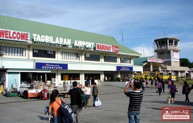
We arrived in Puerto Princesa by plane from Manila. The runway, flat as a table and paved with concrete, was trapped in low, wet clouds. In a convulsion, the plane broke through the rain clouds, thudded onto the runway, bounced a couple of times, and, slowing down, docked at the parking area. There is no actual airport building here. Instead, there is a canopy under which we sheltered from the tropical downpour and collected our luggage.
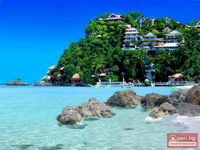
The western Philippine province of Palawan consists of 1,769 islands. Geologically, Palawan is considered a continuation of the island of Kalimantan, which belongs to Malaysia and Indonesia. Its flora and fauna differ from the nature of the Philippine archipelago islands in their uniqueness and diversity. The climate here is tropical, transitioning to sub-equatorial in the south. The average annual temperature is 25-29 degrees Celsius. Palawan, along with its islets, blissfully lies in the embrace of two tropical seas. There are no volcanoes here, but there is a real mountain range that rises from sea level to a height of 2,050 meters.
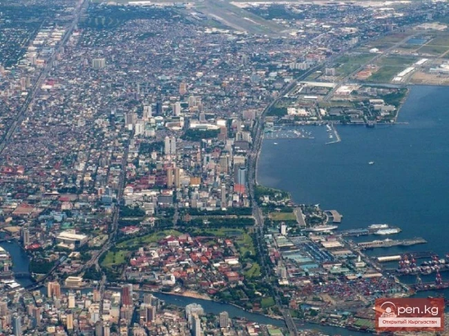
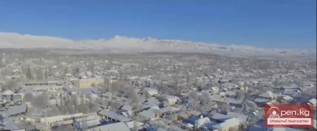
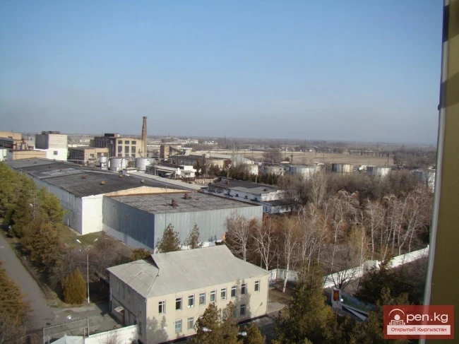
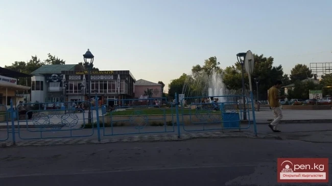
The city of Puerto Princesa seemed quite small, without a distinct center. Many side streets are small markets where one can buy fruits and roasted pigs.
The city is named after Princess Eulalia de Bourbon, daughter of Isabella II of Spain, during the 1872 expedition that founded the city on the island of Paragua (also known as Palawan).
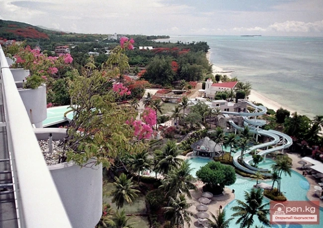
There seemed to be nothing to see in the main city of Palawan. The best attraction is our hotel "Laguna" with a beautiful garden, an indoor pool, and cozy rooms.
From Puerto Princesa to Sabang National Park is 75 kilometers. Leaving the city in the morning, we head northeast along the only road that winds through the mountains and tropical forest. We are going to visit the famous Philippine attraction - the underground river of Saint Paul.
It took almost two hours to reach Sabang. The road turned out to be exceptionally interesting. Around us were pristine jungles, sometimes divided by rice fields and coconut palm plantations. Often, the vibrant island landscape featured grazing buffalo and farmers under wide-brimmed hats. The limestone outcrops in pillar form and whimsical shapes added a special charm to the landscape.
The road ended on the western coast, washed by the South China Sea. On a "bangka" boat, known in Indonesia as "jukung," we traveled along the shores of Palawan. Philippine boats, thanks to their narrow hulls, are quite maneuverable and very stable due to their outriggers.
The waves today are substantial. We are tossed up and down like on a roller coaster.
The panorama opening from the sea is simply magnificent - steep stone shores, eroded by tropical rains, jut sharply above the sea cliffs and are inaccessible.
Such relief, as became clear later, is characteristic of Palawan everywhere.
Read also:
Chocolate Hills
The airport in Manila is as crowded as an anthill. There are a huge number of flights. The...
U.S. Virgin Islands
U.S. Virgin Islands U.S. territory in the northern part of the Lesser Antilles, east of Puerto...
British Virgin Islands
British Virgin Islands A British territory in the northern part of the Lesser Antilles, east of...
First Time at the Airport: Tips for Beginners
A series of tips on what to do once you step through the airport building's threshold. In...
Rice Terraces of Banaue
It is very hot and stuffy on the plane, and outside the window, it is deep night. We are flying...
Island of Tourism and Entertainment
We flew from Cebu to Boracay by plane. There was cloud cover, firstly. Secondly, the windows of...
Kant
The city of Kant is a city of district subordination. In Kyrgyz, "kant" means sugar; the...
Unusual Clouds
Unusual Clouds In nature, there are clouds that closely resemble ocean waves; they are called...
The Princess and the Pea
Craftswomen from our republic participated in the 55th international charity fair held in the...
Commonwealth of Puerto Rico
PUERTO RICO. Commonwealth of Puerto Rico A territory of the USA, located on the island of Puerto...
City of Kerben
The city of Kerben is located in the center of the Aksy district, at an altitude of 1200 meters...
The Bride of the Kumbag. Part - 2. Arrival
Meeting the Bride The bride's train was met by the nomads twenty li from the encampment — a...
City of Shopokov
The city of Shopokov is located at the northern slope of the Kyrgyz Range at an altitude of 740...
12 Facts About Flights You Need to Know Before Buying a Ticket
12 Facts About Flights You Need to Know Airlines are a big business, which means big money and,...
Southern Kyrgyz Houses at the End of the 19th - Beginning of the 20th Century
Southern Kyrgyz Houses For a family consisting of several married couples, a different house plan...
The title translates to "Rest House 'Kosh-Kol'."
Rest by the shore of Lake Issyk-Kul in the village of Kosh-Kol Accommodation: The buildings of the...
The City of Kainды
From the settlement Molotovsky - to the city of Kainды The city of Kainды is located not far from...
The Nuances and Customs of Life in Kyrgyzstan
The Nuances and Customs of Life in Kyrgyzstan Sasha and Seryozha arrived in Bishkek and...
Kyrgyzstan - Bishkek
Bishkek (Kyrgyz: Бишкек) is the capital of Kyrgyzstan and the largest city in the country. It...
Weather Prophet Atay from Jumgal
Among the folk weather predictors, Atai from Jumgal was known for his observations of cloud...
The Least Explored Places on Earth
The Most Unexplored Places on Our Planet Climate and human factors constantly affect the Earth. It...
Commonwealth of the Northern Mariana Islands
NORTHERN MARIANA ISLANDS. Commonwealth of the Northern Mariana Islands A state in Oceania, in the...
City of Nookat
The city of Nookat is located in Kyrgyzstan and is the center of the eponymous district of the Osh...
The flag of Kyrgyzstan raised in the Olympic Village of the Asian Games
On September 17, a ceremonial raising of the flag of the Kyrgyz Republic took place in the Olympic...
Diving at Lake Kol-Suu
Geographical Information: The lake is located in the Naryn region, Ak-Sai valley, on the border...
Cayman Islands
CAIMAN ISLANDS (Cayman Islands) A British territory located on the islands of Grand Cayman, Little...
Etymology of State Names
SAUDI ARABIA . The kingdom was formed within its current borders in 1926. The name was adopted in...
The Bride of Kumbaga. Part - 3. Unfulfilled Expectations
After the Marriage On the day of the wedding, the city was filled with people. And when night...
Bahamas. Commonwealth of the Bahamas
The Bahamas. Commonwealth of The Bahamas A state located in the Atlantic Ocean on the archipelago...
The Smallest Inhabited Islands in the World
The Smallest Inhabited Islands An island is considered to be a piece of land surrounded by water...
What types of climate are found in Kyrgyzstan?
The Climate of Mountainous Kyrgyzstan The climatic conditions of the country are determined by the...
"Dear Volcanoes"
It was winter. February was unusually warm, with rain falling so lightly that it was hardly felt....
Osh - "Southern Capital" of Kyrgyzstan
Osh - "The Southern Capital" of Kyrgyzstan. The city of Osh is the administrative center...
The Assassination Attempt by the Widow of the Usun Ruler Unguymi on Nimi-Kuanvan
ASSASSINATION ATTEMPT In the palace of the Chinese princess, widow of the great ruler of the...
Photo - A City with an Interesting "Highlight" in the Mountains of Kyrgyzstan
This year, Naryn is celebrating its 156th birthday. The correspondent of Turmush discovered...
Rain and Storms in the Works of Togolok Moldo
Understanding the Formation of the Universe and the Development of Living Organisms and Plants by...
Osh Region
The Osh Region was established on November 21, 1939, replacing the former district. After numerous...
The title translates to "Dzhomantau Ridge."
Jamanatau A mountain range in the Tian Shan, located in Kyrgyzstan, northwest of Lake Chatyr-Kul....
56 Interesting Facts About Geography
56 Interesting Facts About Geography 1. The Kingdom of Tonga is the only monarchy in Oceania. 2....
Lake Köl-Suu
Lake Köl-Suu translates as "coming water" The lake is located in the Naryn region,...
Interesting in the World
Just Facts The lake of Death located in Sicily is considered the most "dead." Any living...
Fersman Cave
Cave Named After Academician A. E. Fersman About 20 km south of Chyl Ustun, in the Tuy-Moyun...
Diving at Lake Merzbacher
Geographical Reference: In the eastern part of Kyrgyzstan, where the northern and southern arcs of...
The title "Хребет Борколдой" translates to "Borkoldoy Ridge" in English.
Borkoldoy A mountain range in the Inner Tien Shan, in the southeastern part of Kyrgyzstan. The...
The title "Хребет Джангарт" translates to "Dzhangart Ridge" in English.
Dzhangart Ridge The Dzhangart mountain ridge is located south of the Kainy Ridge on the border...
Issyk-Kul - the Mountain Pearl.
Issyk-Kul - the Mountain Pearl. The most beautiful and largest lake in Central Asia is Lake...
"Chil-Ustun Zone"
The Chil-Ustun Zone includes the Chil-Ustun, Chil-Mayram, and Keklik-Too mountains located around...
The Path of Nomadism - Pasture Committees in Kyrgyzstan
The film tells about the life and work of shepherds in the highlands of Kyrgyzstan and how new...