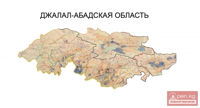
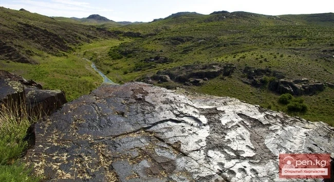
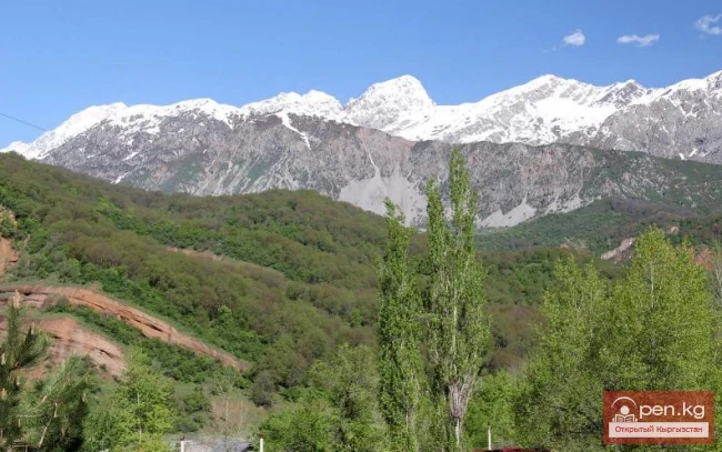
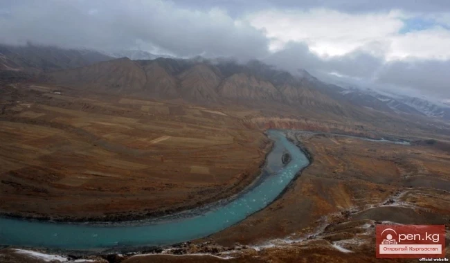
Sary-Chelek Zone ("yellow bowl") territorially coincides with the basin of the Khoja-Ata River. The zone includes the territory of the Sary-Chelek State Biosphere Reserve, the village of Arkyt, which houses its office, as well as the "Sary-Chelek" tourist base of the Osh Regional Council for Tourism and Excursions. The upper part of the zone, including the southern tip of Lake Sary-Chelek, is composed of limestone and metamorphosed conglomerates and has a highly dissected relief with deep valleys and steep slopes. In the lower part, the slopes are mainly sandy, gentle, covered with a layer of soft soils.
The main attraction for huge masses of travel enthusiasts is the famous Lake Sary-Chelek, known far beyond the republic, and the surrounding protected areas. Access to the reserve is only permitted with the administration's permission. The Sary-Chelek Biosphere Reserve was established in 1959 and occupies an area of 23.9 thousand hectares in the Arkyt area. It is a unique geobotanical museum, where, in addition to typical tree species of the hot Central Asia, there also grow "exotics" characteristic of Siberian conditions. Here, the walnut and the Semenov fir coexist beautifully, as do honeysuckle and the Sogdian plum (aluche), Tien Shan spruce and wild apple, pistachio and juniper.
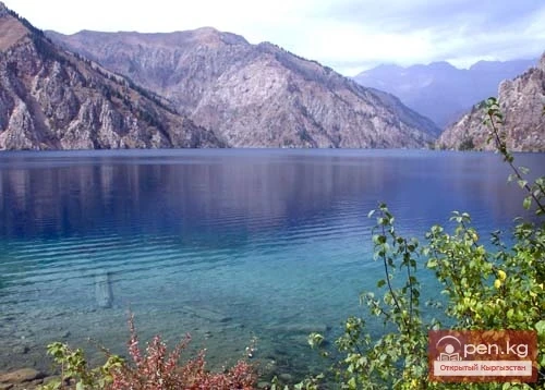
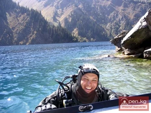
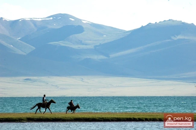
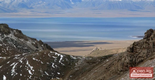
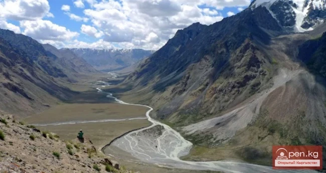
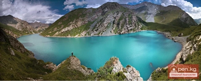
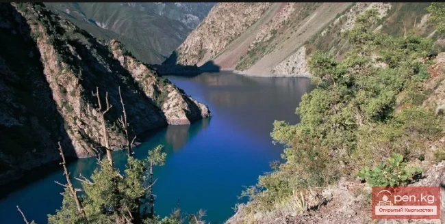
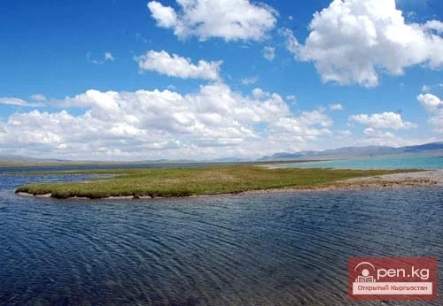
The heart of the reserve is the beautiful high-altitude Lake Sary-Chelek, located at an altitude of 1873 meters above sea level. It was formed as a result of an earthquake. In the mountain valley, overgrown with fir and spruce, one can still find trees growing "straight out of the water." A unique mountain "corridor," filled with the shimmering azure surface of the water in the sun, stretches from the southeast to the northwest for almost 7 km. The width varies from 350 meters in the middle part to 1.5 km in the southwest. Dozens of clear streams flow into the lake from each gorge. They originate from numerous springs and mineral sources. The lake is surrounded by a necklace of mountain peaks, sparkling with snowy whiteness.

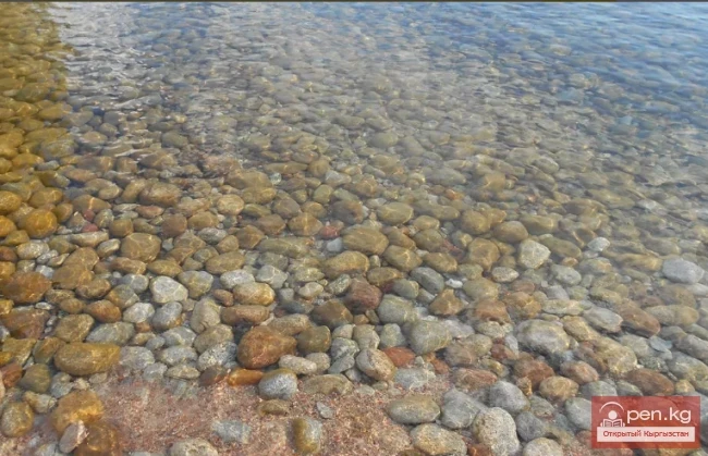
The shores of Sary-Chelek are extraordinarily picturesque. Steep and often almost vertical, they plunge into the dark depths of the lake, which reaches 234 meters. In some places, there are stone screes cascading into the clear water, through which every stone is distinctly visible. The northern slopes are draped with large forested areas of slender spruces and firs, dense juniper thickets. The tree canopy is so dense in places that the sky is almost not visible through it, and only gusts of wind, parting the branches, allow golden rays of sunlight to penetrate under the dark canopy of the forest.
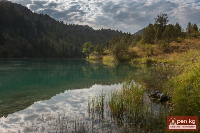
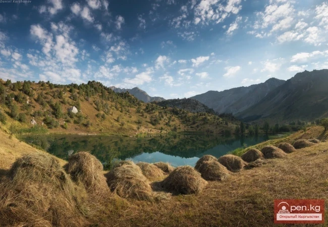
In addition to Lake Sary-Chelek, there are six more small lakes within the reserve, located in the central part of the reserve on a plateau formed as a result of mountain collapses. Below Sary-Chelek lies the Kylai-Kel Lake ("round lake"), about 700 meters long and 200-400 meters wide. Its depth is insignificant. The gentle shores are hidden under thickets of fruit trees, interspersed with juniper, majestic spruces, giant birches, and willows. In the coastal zone, there are dense thickets of reeds, bulrushes, and sedges.
To the west of Sary-Chelek is Bakaly-Kel Lake, southeast of it are Iiri-Kel, Sasyk-Kel, Chacha-Kel, and Aram-Kel. Chacha-Kel Lake, thanks to its almost perfectly round shape, resembles a bowl filled with strong tea. This lake is home to giant mirror carp.
Iyrn-Kel Lake ("crooked lake") lies among rocky shores overgrown with unpretentious juniper.

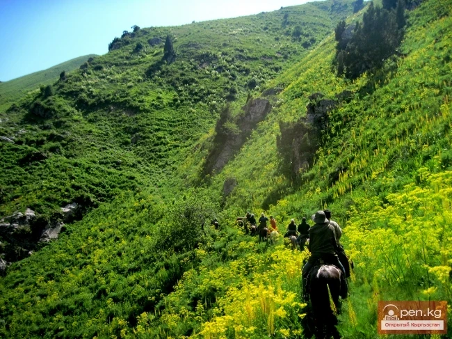
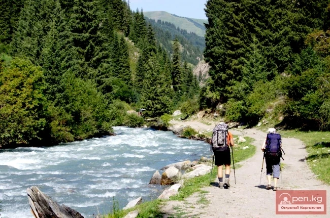
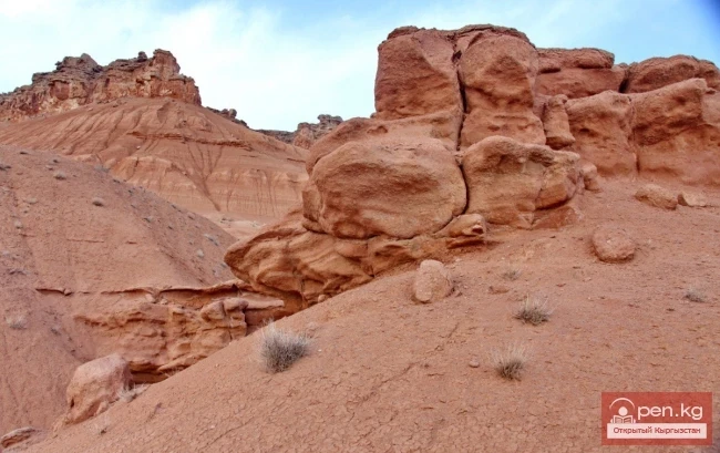
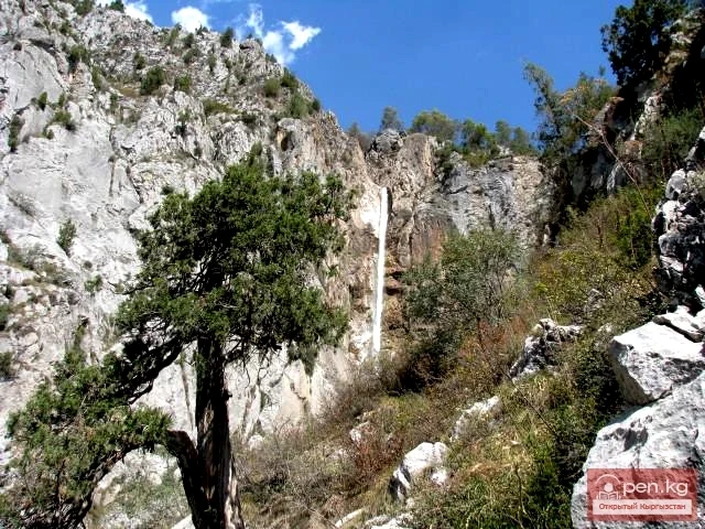
Within the zone, an interesting site for excursion visits is the valley of the right tributary of the Khoja-Ata River — Tamanyak-Sai, where a bison nursery is located. On the northern slope of the valley grows a virgin walnut forest, striking with the mighty crowns of trees and trunks reaching two meters in diameter. Scattered huge boulders give the gorge an attractive appearance. Along the river grow squat birches with gnarled trunks. Higher up, apple trees, hawthorn, and currant bushes appear. Above the entire zone, the curved horn of the rocky peak Castle of Fairy Tales (4200 m) rises whimsically. In the lower reaches of the Khoja-Ata, near the tourist base along the highway, the attention of tourists is drawn to the picturesque weathering pillars of Kara-Dzhigach, resembling "stone flowers," artfully created by nature, which have been declared a natural monument.