According to information on the government procurement portal, a budget of 6 million 791.9 thousand soms has been allocated for these purposes.
Suppliers can submit their proposals until December 31, 2025.
Read more on the topic: Satellite technologies in agriculture are being implemented by Kyrgyzstan
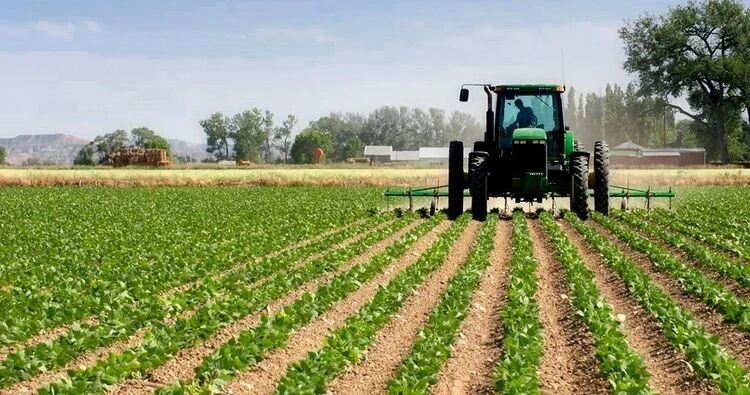
The main goal of this project is to create a modern monitoring system for agricultural lands based on RSD data. This will enhance the reliability of information regarding crops, their condition, as well as improve yield forecasting and support management decisions in the agro-industrial complex of Kyrgyzstan.
The tender winner must provide multispectral satellite images covering the territories of the republic's agricultural lands.
It was previously reported that Kyrgyzstan is actively implementing satellite technologies in agriculture, monitoring five different agricultural crops based on the images obtained.