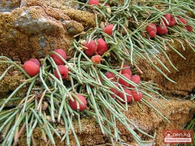
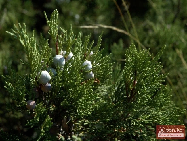
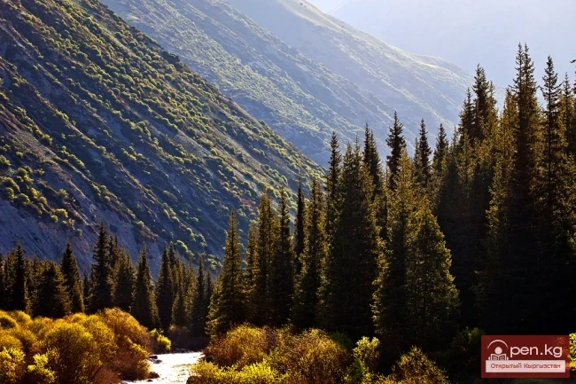
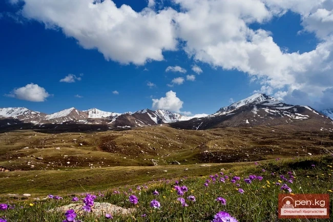
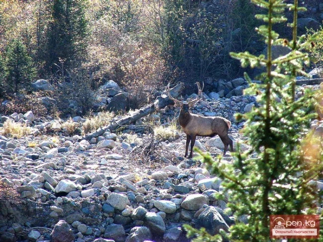
The "Kyzyl-Unkyur" Zone is located 15 km northeast of the village of Arslanbap in the valley of the Kara-Unkyur River in the Jalal-Abad region. It is accessible via an asphalt road from the city of Osh. The zone occupies the territory of one of the most picturesque areas of these places — Kyzyl-Unkyur and also includes the ridge part of the Fergana Range.
Arslanbap Zone (Arslanbob) is located on the southwestern slopes of the Fergana Range in the eponymous area, stretching up to 10 kilometers and situated 180 km from the city of Osh in the Jalal-Abad region. The entire territory of the zone is intertwined with picturesque serpentine asphalt roads that run along the riverbed of the Kara-Unkur River from the city of Osh through the town of Bazar-Kurgan to the village of Arslanbap (1400 m) and further into the mountains.
The "Maili-Sai" Zone is located in close proximity to one of the major industrial centers of the Osh region in the Jalal-Abad region. The city of Maili-Sai includes the valley of the Mailuu-Suu River ("fat water"). This area is known for its oil deposits. The distance from the city of Osh to the zone is 170-180 km.
The "Kara-Suu" Zone is located in the eastern part of the southern slope of the Chatkal Ridge and occupies the valley of the river of the same name. In the lower reaches of the river, semi-deserts with sparse forests of pistachio and almond trees are widely represented. South of the city of Tash-Kumyr is the botanical reserve of Dzhiel-Tiibes, covering an area of 800 hectares, where a reference section of the southern semi-desert is protected. Below Tash-Kumyr is a Paleogene group of
Sary-Chelek Zone ("yellow bowl") territorially coincides with the basin of the Khoja-Ata River. The zone includes the territory of the Sary-Chelek State Biosphere Reserve, the village of Arkyt, which houses its office, as well as the "Sary-Chelek" tourist base of the Osh Regional Council for Tourism and Excursions. The upper part of the zone, including the southern tip of Lake Sary-Chelek, is composed of limestone and metamorphosed conglomerates and has a highly dissected
Aflatun Zone is located on the southeastern slopes of the Chatkal Ridge and occupies the basin of the Aflatun River — the largest right tributary of the Kara-Suu River in the Jalal-Abad region. The distance from the city of Osh to the zone is about 320 km along the highway leading to the village of Aflatun.
The "Padsha-Ata" zone includes the gorge of the same name and is located near the district center of Karavan, 350 km from the city of Osh. Along the gorge, a dirt road runs along the right bank of the river to the village of Karabashat. At the end of the road lies the mazar of the "saint" Padsha-Ata. In a stretch of about 500 meters along the riverbed, there is a dense grove of ancient birches, the trunks of which reach two circumferences in diameter.
Ala-Archa Zone is located 30 km south of Bishkek in the central part of the Kyrgyz Ala-Too range in a picturesque gorge of the same name, which is over 35 km long. This gorge is the largest of all the gorges in the Kyrgyz range. On its territory lies the Ala-Archa National Park.
Issyk-Ata Zone is located 80 km from Bishkek and includes two gorges — Issyk-Ata and Tuyuk Issyk-Ata with tributaries. This zone is distinguished not only by its favorable climatic conditions but also by its magnificent balneological resources. Based on more than fifty thermal springs, the famous Issyk-Ata resort operates in the middle part of the gorge of the same name. The springs have been known since ancient times, as evidenced by the image of the healing Buddha carved on Asal.
Kegety Zone is located 75 km from Bishkek in the gorge of the same name on the road to the village of Ivanovka and further to the Kegety gorge. The Kegety River has many tributaries, the largest of which is the right tributary Keltor, forming a very beautiful independent area. It is interesting to note that the Keltor River flows underground through the moraines and only bursts forth with a roar into the open in the forest zone. At the beginning of the gorge, the slopes are covered with
Chon-Kemin Zone includes the valleys of the Chon-Kemin and Kichi-Kemin rivers between the high ridges of Zailiysky and Kungey Ala-Too. It is located 150 km east of Frunze city on the road to Novorossiysk village.
The Sary-Chelek Nature Reserve is referred to as a realm of magical beauty, located on the southern slopes of the Chatkal Range, in the basin of the Khoja-Ata River in the Jalal-Abad region. The territory of the reserve stretches from the foothill steppes to the snow-capped peaks. Towering mountain ranges and blooming valleys, sheer weathered cliffs and turbulent rivers, deciduous and coniferous forests, snowy summits and blue lakes, high grass meadows and impenetrable thickets — all of this
The longest gorge, bearing the same name, is located just 30 km from the city. Immediately behind the Voronцовка recreation center are three gorges: Alameddin, from which a small river flows, Malinovoe, overgrown with dense raspberry bushes, and the largest one — Ala-Archa. The word "Ala" translates to "snowy," and "archa" is analogous to "juniper." Indeed, there are glaciers in the gorge that only melt during the scorching summer. The slopes of the
On a hot summer day on the shores of Lake Issyk-Kul, one can observe a strange sight. Adults, seemingly respectable, walk covered in mud. Their legs and arms are especially abundantly coated in clay. Some even manage to smear their bellies. Others—what a wonder!—completely bury themselves, leaving only their heads above the fine sandy shore of the lake.
More than 80 species of mammals, over 330 species of birds, about fifty species of fish, including 12 commercial species, and around 30 species of reptiles and amphibians—this is the diversity of Kyrgyz fauna. Each altitude zone and natural landscape typically has its own inhabitants, but there are also cosmopolitan species that can be found both on low plains and in high mountain areas.
In translation from Kyrgyz, "jailoo" means summer pasture. What else do you think this word signifies? Abundance. And this is not accidental. The wealth and beauty of alpine meadows cannot be called anything else.
Let’s open the reference books on medicinal plants. St. John's wort, mint, thyme, valerian, motherwort, hawthorn, rosehip, coltsfoot, oregano, plantain, juniper, birch, cornflower, chamomile... This entire list is generously represented in Kyrgyzstan.
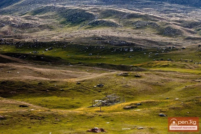
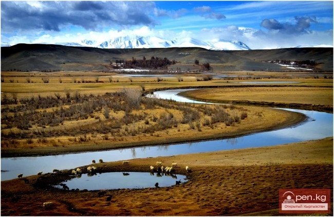
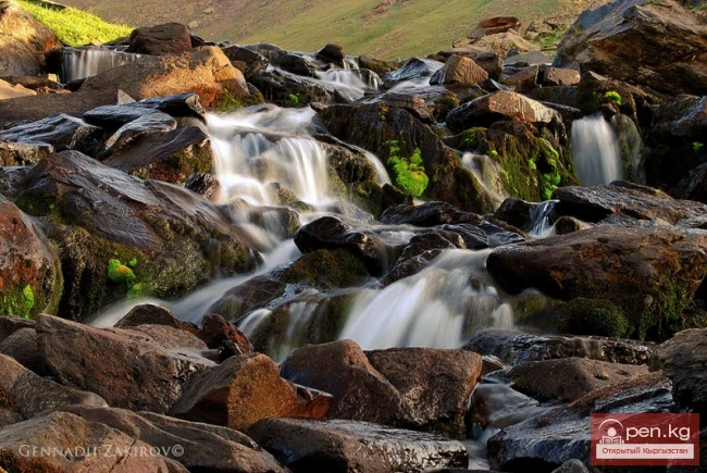
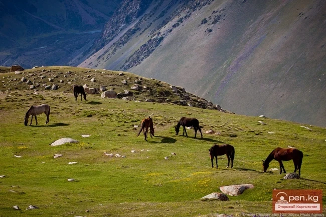
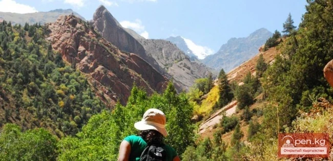
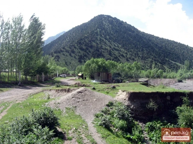
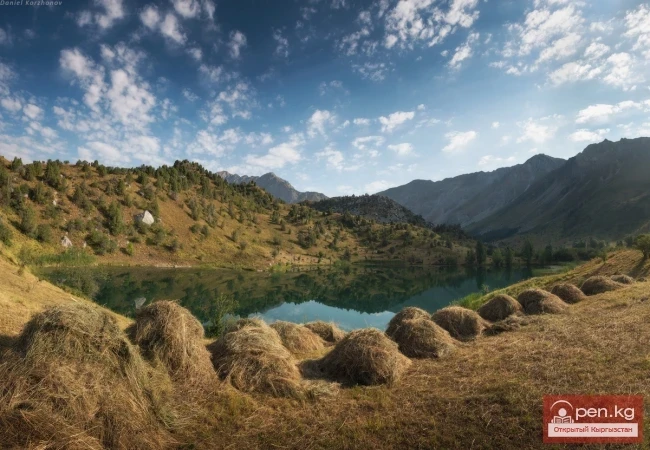
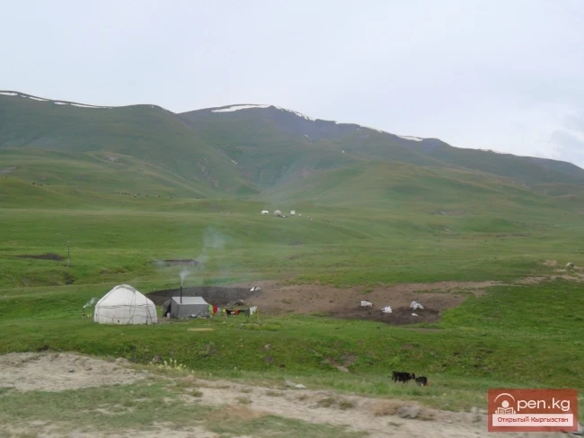
Much larger areas than deserts and semi-deserts are occupied by steppes in Kyrgyzstan, which are classified based on altitude above sea level into low-mountain (1000—1600 meters), mid-mountain (1600—2500), and high-mountain (up to 3500 meters). In terms of vegetation composition, they are divided into grass-like and savanna-like.
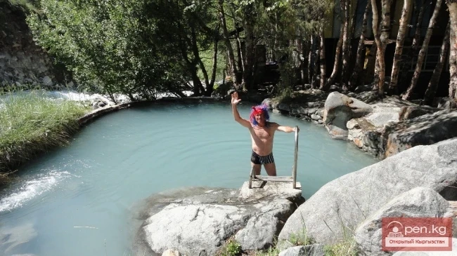
The very word seems to suggest: empty, hence the desert. In Kyrgyz, it is approximately: чёль (chol). Moreover, this term is used not only for deserts but also for steppes, plains, that is, everything that is not mountains — тоо (too), and not lakes — кёль (köl).
Who hasn’t heard of juniper? Or cedar? Or cypress? Evergreens — in the literal sense of the word: eternal, not metaphorical — possessing a "balsamic" scent, particularly noticeable since ancient times. According to scientists, they have been known since the Cretaceous period, meaning they are over one hundred million (!) years old, at least in the case of cedar. The branches of these plants line the path of the deceased — as a symbol of death and its overcoming, as a symbol of the
A lonely tree does not make a forest. At least, this is what a Kyrgyz folk proverb says. And indeed, it is true. The forests in Kyrgyzstan are unusual — primarily mountainous. Among the ancient Turks, the forest served as an object of worship. And since the forest grows on mountains, the ridge covered with trees is personified: it receives its "own" name. On such a hill, in ancient times, all members of the clan community would gather, where sacrifices were made to Jer-Suu — the main
In Roman mythology, Flora was chosen as the goddess of flowering ears of grain, flowers, and gardens. Tatius erected an altar to her. During the festival of Flora, blooming ears of grain were brought to her altar. For some reason, the festival was forgotten. Perhaps it was because the games in honor of Flora were accompanied by cheerful debauchery, involving the common people and women of loose morals. The very name of the goddess became a term denoting the totality of all types of plants of a
In recent years, the concept of natural heritage has increasingly entered analytical research and the practice of natural resource management. The term "natural heritage" became widely used in scientific discourse in the early 1970s, in contrast to the term "cultural heritage," which appeared several decades earlier. This was related to the preparation and adoption of the UNESCO Convention concerning the Protection of the World Cultural and Natural Heritage in 1972. In
All elements and conditions, as well as phenomena and bodies of nature, can be used in public production to meet the material, cultural, and scientific needs of society and constitute its raw material and energy base, which are called natural resources.
The fauna of the Chui Valley is part of the Western Tienir-Tous zoogeographic region. According to specialists, more than 300 species of vertebrates inhabit this area, including over 15 species of fish, about 280 species of birds, and 50 species of mammals. The densely populated plains of the Chui Valley are mostly developed, and the natural landscape has been significantly altered, leading to a decrease in animal populations each year. In the late 19th century, tigers, wild boars, and others
The Chuy Valley and the northern slope of the Kyrgyz Range is one of the most studied areas of the Republic in terms of flora and geobotany. Significant contributions to the study of the flora of the Chuy Valley have been made by I.V. Vykhodtsev, E.V. Nikitina, A.G. Golovkova, A. Moldoyarov, L.I. Popova, and others.
The soil-vegetation cover of the Chui Valley and its mountainous framing, as the most important components, are subject to the regular altitudinal zonation of landscapes. In general terms, the altitudinal belts coincide with the tiers of relief and climatic zones. The correct determination of altitudinal belts in the mountains currently acquires particular significance, as this concept encompasses the entire range of natural phenomena, and practical measures should evidently also be
There are relatively few lakes in the Chui Valley and its mountainous surroundings, and all of them are small. The Kyrgyz Ridge contains several dozen mountain lakes. The vast majority of these are very shallow lakes, with a diameter of no more than 0.1-0.2 km. Most of the lakes are located at altitudes of 3000-3500 m. They are fed by meltwater from glaciers and snow, as well as rainwater. In the basin of the Issyk-Ata River, there are three lakes with a total area of 0.09 km². The largest
The Chui Valley has a developed river network. The river network is especially dense on the northern slopes of the Kyrgyz Ala-Too. Most of these rivers belong to the basin of the Chu River. The small rivers in the northwestern part of the ridge disappear into the waterless plain as they exit the mountains. The main water artery is the Chu River. The area of the watershed is over 50,000 km². The length of the river, along with the Joong-Aryk River, is 140 km, while within the Chui depression it
Kyrgyz Ridge - the most glaciated area in the northern part of our republic. However, despite this and its proximity to the capital of the republic, it remained unexplored for a long time. Essentially, one of the first researchers of the glaciation of this ridge, who calculated the area of glaciers, was H.L. Korzhenyevsky (1930; 1932). However, a significant contribution to the study of the glaciers of the Kyrgyz Ridge was made by the Leningrad geographer E.V. Maximov (1964, 1972).
The Chui Valley is located in the extreme southern part of the temperate zone, farthest from the oceans and close to the deserts of Kazakhstan, which determines the high amount of heat, continentality, and dryness of its climate. In the central part of the Chui Valley (the capital Bishkek), the average annual sunshine duration is 2584 hours, which is more than in Almaty (by 6-13%) and less than in Cholpon-Ata (2613 hours) and Karakol (2657 hours).
Oil and gas are primarily found along the borders of the Fergana Basin. To date, seven oil fields, four oil and gas fields, two gas fields, and one oil and gas condensate field are known. All developed fields are small in terms of reserves.
Coal deposits in the republic are grouped into 4 basins (Southern Fergana, Uzgen, Northern Fergana, Kavak) and 3 coal-bearing regions (Alaï, Alabuka-Chatyr-Kel, Southern Issyk-Kul). According to experts, coal reserves in Kyrgyzstan exceed 30 billion tons. Coal deposits are mainly concentrated in the Osh, Jalal-Abad, Issyk-Kul, and Naryn regions.
The territory of the republic has discovered deposits of coal, gas, and oil. Among them, coal deposits are the most widespread. In terms of coal reserves, Kyrgyzstan ranks among the leading positions in Central Asia. The deposits of oil, gas, black and non-ferrous metals, precious metals, and other minerals are quite competitive on a global scale.
Groundwater is one of the main water resources of the Kyrgyz Republic (KR). They are characterized by a high content of biologically active mineral (and less often organic) components and possess specific physicochemical properties (radioactivity, etc.), which underlie their effects on the human body and therapeutic applications.
Water resources are vital for the economy, humans, and the environment; they are the most important natural potential influencing the development of the region's economy. Among the natural resources of Kyrgyzstan, fresh water found in glaciers occupies a significant place. Its reserves are estimated at 650 billion m³. Glaciers cover 4.2% of the country's territory. This is where the sources of the Syr Darya basin and other major rivers of Central Asia are located.
Kyrgyzstan is rich in natural resources, with rare metal deposits of gold and sulfur-containing ores in its subsoil. The Jetim Basin contains sedimentary iron ores, with reserves of about 10 billion tons. The Southern Tien Shan has deposits of mercury, antimony, tin, and polymetals. In the Fergana Valley, oil and gas extraction is underway. In terms of geological coal reserves (31 billion tons), Kyrgyzstan ranks first in Central Asia. There are deposits of salt, gypsum, glass sands,
Even during the time of the Kokand Khanate, the wealth of the subsoil of Kyrgyzstan was well known. Local coal, limestone, iron ores, etc., were extracted. However, more accurate information about the mineral resources of Kyrgyzstan emerged during the colonial period. In the early 1890s, intensive exploration and development of coal and oil deposits began in southern Kyrgyzstan. Since 1898, coal seams were being developed in Kyzyl-Kiya — the birthplace of the mining industry in Kyrgyzstan.
The territory of medieval Kyrgyzstan was home to numerous plant species, many of which are endemics representing a highly valuable gene pool for our planet. In accordance with the physical and geographical zones characteristic of Kyrgyzstan, several types of vegetation formed: steppe, tall grass, subalpine, and alpine meadows, unique pistachio, almond, cherry, exochorda, and other shrubs; relict nut-bearing forests, fir, spruce, maple, birch, poplar-willow, and juniper forests.
The main landscape of Kyrgyzstan consists of mountains. Enclosed mountain valleys are surrounded by vast pasture lands, and since the Bronze Age, livestock farming has been the leading sector of economic activity for the ancient population of Kyrgyzstan. In mountainous conditions, the breeding of small cattle became particularly significant. By the Bronze Age, high-altitude pastures accessible by breast were developed, which were used during seasonal migrations.
In the upper reaches of the Yassy River, on its right bank, there is a whole series of mineral water springs. Kara-Shoro is the most famous among them, known for its carbonated water springs. There are more than twenty of them, with pure cold water that bubbles with gas, rivaling the taste and healing qualities of the most renowned springs in Europe and Asia.
The Chichkan River flows from the north into the Toktogul Reservoir. It is a small river with clear water. It runs through a picturesque gorge with steep slopes and whimsical rock formations. Along the banks of the river runs the main road of the country, connecting the city of Bishkek with the city of Osh. The road gently descends from the Ala-Bel Pass (3184 m), from which the Chichkan River begins. Two ridges loom over the river: the Talas and Suusamyr ridges. The gorge is open to air
Besh-Tash Nature Park is located south of the city of Talas on the northern slopes of the Talas Ala-Too and includes the gorges: Kolba, Besh-Tash, Urmaral, and Kumush-Tag with their branches. In these gorges, rivers of the same name flow with a widely branched network of tributaries. The territory is cut by deep ravines. In summer, the gorges look very beautiful. Juniper thickets are scattered along the slopes. In the upper reaches of the gorges, on the right slopes, there are sparse forests
Kan-i-Gut Cave is located on the southern slope of the Djaman-Chul range, approximately 18 km west of the village of Samarkandyk in the Shadymir area. The local name is Zauk-Kur. It was formed by fissure-like separations of layers and active manifestations of ore karst processes. There are almost no dripstone formations. The cavity consists of numerous grottoes, deep pits (up to 40 m), chimneys, narrow interwoven passages, and corridors. Based on random archaeological finds, scientists