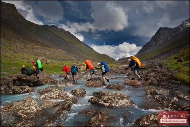
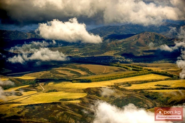
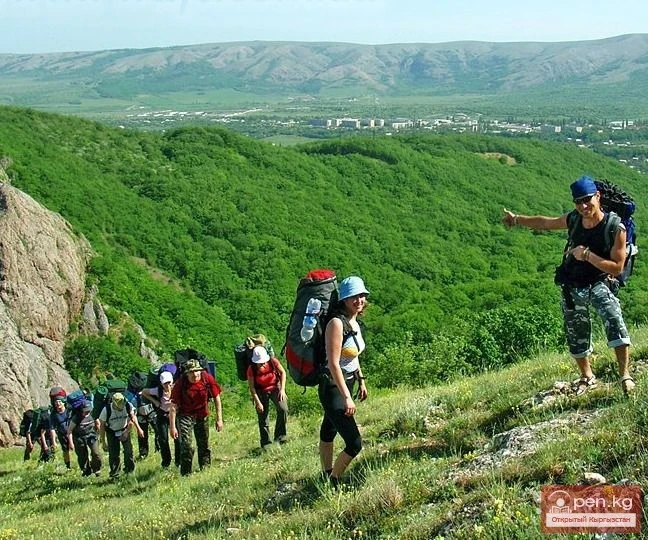
The soil-vegetation cover of the Chui Valley and its mountainous framing, as the most important components, are subject to the regular altitudinal zonation of landscapes. In general terms, the altitudinal belts coincide with the tiers of relief and climatic zones. The correct determination of altitudinal belts in the mountains currently acquires particular significance, as this concept encompasses the entire range of natural phenomena, and practical measures should evidently also be constructed in an altitudinal-zonal section.
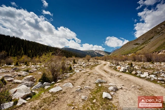
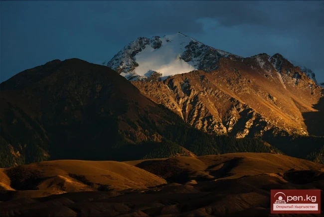
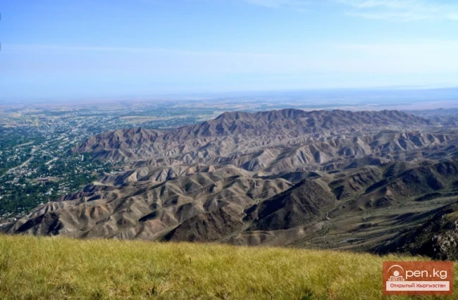
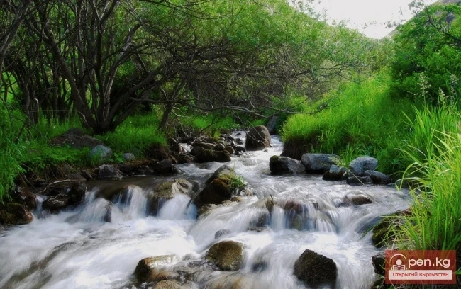
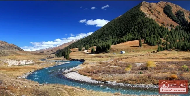
The altitudinal landscape zonation of the Chui Valley is most clearly expressed in the central, highest mountainous part of the northern slope of the Kyrgyz Range, while towards its outskirts, the climate becomes drier and xerophytic landscapes are formed.
Soils. The Chui Valley is one of the well-studied areas of the republic in terms of soil geography. A significant contribution to the study of the soil cover of the valley and its mountainous framing was made by A.N. Rozanov (1957), A. Junushbaev (1964, 1972), R.R. Krinitskaya, G.N. Fedichkin (1964), V.F. Samusenko (1970), A.M. Mamytov (1976, 1996), and others.
In terms of soil, the Chui Valley is part of the Northern Kyrgyz soil province, which is divided into three soil districts: Chui, Talas, and Kemin. The Chui soil district includes the Chui Valley and the northern slope of the Kyrgyz Range.
The soils of this valley exhibit a sharply defined altitudinal zonation, in the structure of which a high degree of mosaicism is observed.
They are formed under conditions of mountainous relief and a hydrothermal regime, determined by their location between the dry and subtropical Central Asian soil-climatic facies and the sharply continental climate of the Central Kazakh facies.
The main soil types of the basin are low-carbonate northern chernozems, which develop on loess-like silty clays above semi-desert vegetation. These soils are characterized by weakly differentiated profiles. The humus horizon has a thickness of 16-18 cm, and is overlain by a loose turf horizon, permeated by a root system. The humus content in the upper arable layer ranges from 0.7 to 2.5%. Carbonates are present throughout the profile.
Northern chernozems are subdivided into light and dark chernozems. The light chernozems are found in the northwestern lowland part of the Chui basin in the area of the Sary-Koo plateau at altitudes of 570-700 m. These soils are low in humus (0.7 - 1.7%) and are characterized by increased carbonates up to 8% in the elevated horizon.
Dark chernozems are located in the middle and lower parts of the foothill fringe at altitudes of 700 to 900 meters. They are predominantly formed on shallow, often chalky silts, under a vegetation cover of grass and feather grass semi-desert with ephemeral and ephemeral-like plants. The humus content, depending on the degree of erosion and mechanical composition, ranges from 1.2 to 2.7% in the arable layer and from 0.7 to 1.3% in the sub-arable layer. Carbonate content is weak.
Meadow-chernozem soils of the northern part of the Chui Valley are formed under conditions of prolonged groundwater moisture beneath ephemeral-grass-sedge vegetation. These soils are distributed to the north of the Chaldovar-Bishkek-Tokmok highway, occupying the entire northern and northwestern part within the boundaries of the Kyrgyz Republic.
Clay zone. They account for 48% of the area of the bottom of the Chui Valley. Depending on the depth and degree of mineralization of groundwater, the depressions in the relief, and the mechanical composition of soil substrates, meadow-chernozem and chernozem-meadow soils are found here, often saline and solonetzic, with patches of meadow and marsh solonchaks. Usually, these soils occupy flat inter-ridge and undulating inter-valley spaces, where groundwater is found at a depth of 3-5 meters. The humus content in the upper layer is 3.5%. The structure is more solid, finely cloddy.
Meadow-chernozem soils are everywhere complexed with gray-meadow soils. They are especially characteristic of areas where groundwater is at a higher and more stable level. Depending on the degree of mineralization and salt composition, there are non-saline, solonchak, solonchak-like, and solonetzic chernozem-meadow soils. In areas with close groundwater (1-1.5 m) and under mesophytic vegetation, meadow soils are formed, which are also differentiated into saline and solonetzic varieties. The humus content in the arable horizon reaches 2.5-3.6%.
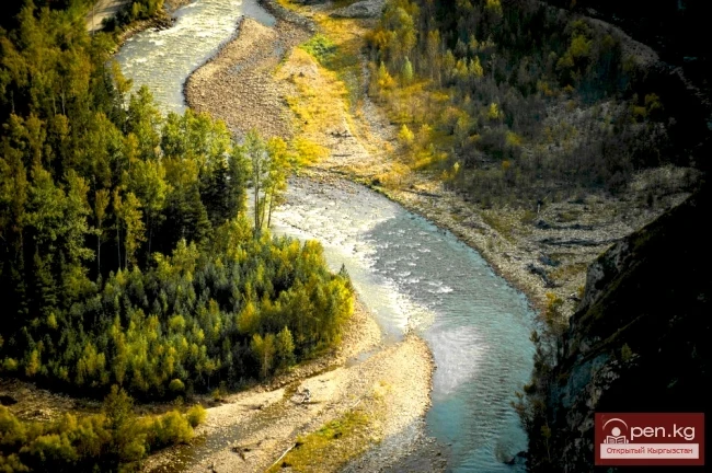
Various types of meadow-chernozem, chernozem-meadow, and meadow soils are sometimes combined with meadow-marsh soils and peatlands. They are widely represented in the floodplain of the Chu River and in places where groundwater emerges, particularly in the area of the city of Chui-Tokmok. A large part of them has already been drained and is used for agriculture. The extreme diversity of the soil cover naturally requires a good understanding of their characteristics and the development of appropriate measures. A decrease in the groundwater level of the upper layer is observed throughout the Chui Valley, which affects soil formation processes. In several places, the meadow process is replaced by the chernozem process, silting increases, and soil fertility decreases. Hence, the responsible task for specialists is to find ways for the rational use of land resources.
In the upper parts of the foothill fringe at altitudes of 900 to 1100 m above sea level, light chestnut soils are widespread. The parent materials are proluvial-alluvial, gravel deposits, and locally loess-like silts. They develop under wormwood-grass dry steppe vegetation. The humus content ranges from 1.2 to 3.5%. Beneath the brown, cloddy-powdery humus horizon with a thickness of 20-30 cm lies a light compacted carbonate horizon, transitioning into chalky silt. The transition from chernozems to light chestnut soils is gradual. Moreover, all these soils are universally plowed and used in irrigated agriculture.
At altitudes of 1700-1900 meters above sea level, dark chestnut soils are formed, occupying the upper part of the foothills. These soils are non-saline and low-carbonate. The humus content in the arable horizon, depending on the degree of erosion, ranges from 2.5 to 6.2%, while in the sub-arable layer it is from 1 to 3.5%. Light and dark chestnut soils are characterized by a pronounced manifestation of the active spring phase of soil formation.
In connection with changes in relief and climatic conditions on the northern slope of the Kyrgyz Range, the following altitudinal soil belts are distinguished:
• Mountain chestnut soils of the foothills are represented by mountain dark chestnut soils, and on sunny slopes - light chestnut soils.
• Mountain dark chestnut soils have up to 6% humus, with a horizon "A" thickness of 40-60 cm, and a good granular-cloddy or finely cloddy structure.
• Mountain light chestnut soils are widespread in the western part of the range, containing up to 3% humus with a thin "A" horizon up to 30 cm.
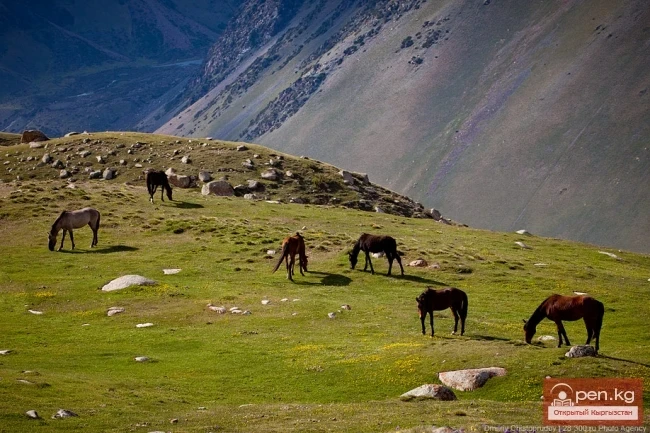
Soils of the foothill belt develop under turf-grass and wormwood-grass steppe vegetation, as well as under southern steppe vegetation with couch grass, beard grass, and karindyz. In terms of chemistry and mechanical composition (clay content, nutty structure, etc.), these soils are similar to gray-brown soils of Fergana and can be considered a transition from gray-brown to typical mountain-chestnut soils. They are used for grain crops and forest plantations. They need to be protected from erosion.
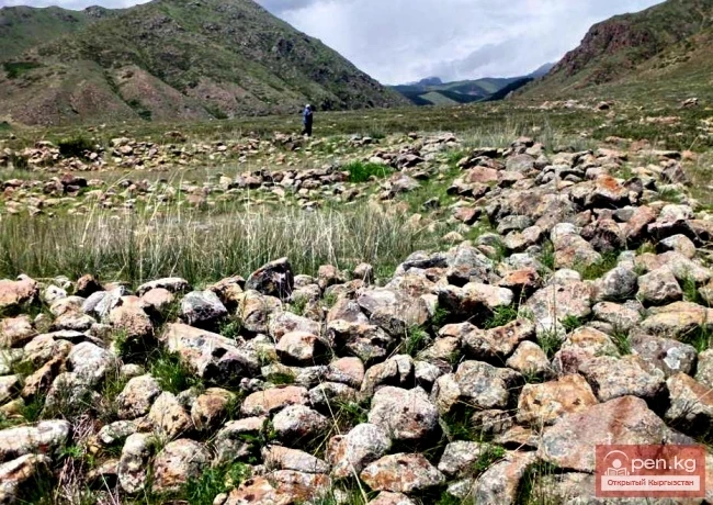
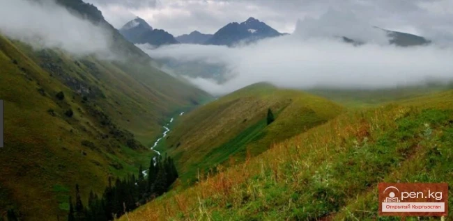
Mountain chernozem belt. Mountain chernozems are formed under highly developed diverse meadow steppes at altitudes of 1700-2600 meters. These soils possess high fertility. The humus content in the upper horizon reaches 12-15%. They are differentiated into medium-humus (up to 10%) mountain chernozems under meadow steppes and rich (up to 15%) under grassy high-mown meadows. The structure of the humus horizons is cloddy-granular. Despite the high potential fertility, chernozem soils are not intensively used for agriculture, as they are formed at significant altitudes on steep mountain slopes. Mainly, these soils are used for haymaking and pastures, and where the terrain allows plowing, for growing potatoes.
Belt of mountain-meadow chernozem-like and forest dark-colored soils of the mid-mountains is widespread at altitudes of 2000-2700 m above sea level. On gentle slopes and denudational surfaces, meadow chernozem-like soils are developed. They are characterized by high humus content (up to 10%) and high absorption capacity.
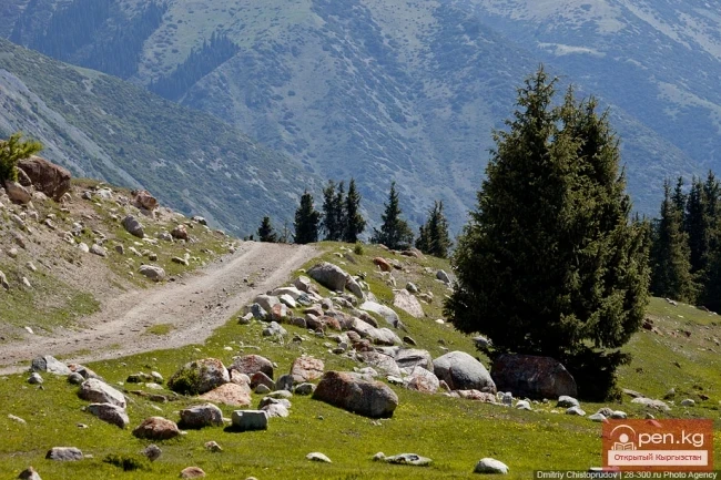
Mountain forest soils of spruce forests are distributed in patches on the northern and western slopes of the Kyrgyz Range. They develop under conditions of moderate moisture and only occasionally experience leaching (V.F. Samusenko, 1970). The humus content in the upper horizon is high (up to 16-20%).
Under the juniper forests, which are widespread in the lower part of the belt, mainly on the western slopes, mountain forest brown soils are developed. These soils are characterized by a thin (20-30 cm) but high-humus upper horizon.
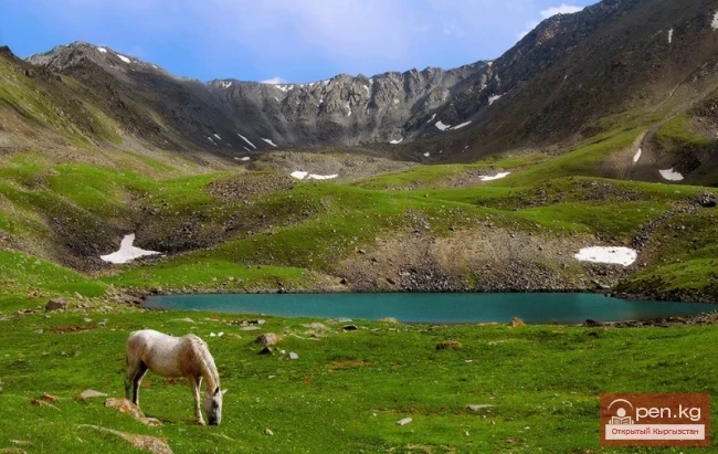
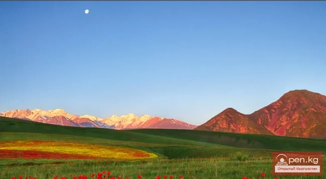
Belt of subalpine mountain-meadow and meadow-steppe soils is represented at altitudes of 2800-3000 m above sea level and forms a narrow strip, universally interrupted by rock outcrops. These soils have a thickness of no more than 50-60 cm and a small (up to 30 cm) upper horizon. On fine-grained deluvial silts of gentle slopes and flat watersheds, mountain-meadow soils are developed. The humus content is high and in the upper horizon is 15-20%. The transition between the indicated soils is gradual and the boundaries are conditional.
Belt of alpine turf-slightly peaty and meadow soils is developed at altitudes of 3200-3600 m above sea level. This belt is characterized by a wide distribution of rocks, screes, and debris. Therefore, soils are found fragmentarily, under the bottoms of glacial valleys and in the lower gentle parts of slopes. Alpine turf-slightly peaty soils are distinguished by a dwarf profile (20-30 cm) and slow mineralization of organic matter, resulting in dry peatiness of the turf. Meadow soils are thin (15-20 cm), often skeletal, but have good structure and high humus content.
A wide penetration of soils from the subalpine and alpine belts is observed, associated with the influence of exposure and temperature inversions in the valleys of the highlands.
At altitudes above 3800 meters, the glacial-nival belt is located. It encompasses the ridge parts of the ranges, rocks, and periglacial slopes of mountains surrounding young undeveloped moraines and debris. The roughness and mobility of the substrate, caused by intense processes of frost weathering, hinder the formation and further development of the soil cover. Practically, the soil cover in this belt is absent; however, under meadow cushions and plant cushions up to altitudes of 3800-4000 meters, fragments of primitive skeletal soils are found.