Memorable hike with elements of extreme to Ontor Pass
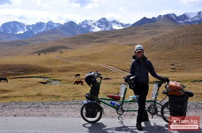
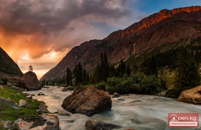
In the Terskey Alatoo system, there is a pass that tourists prefer over others. There is a reason for this. The route to it is simple yet intricate. The views that unfold before travelers amaze with their pristine beauty. This is Ontor Pass. Indeed, the route to the pass is quite passable, with diverse vegetation and fauna. Nevertheless, all the components of an exciting mountain hike are present – rocky peaks, glaciers, noteworthy crossings, and trails.
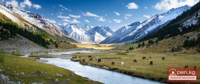
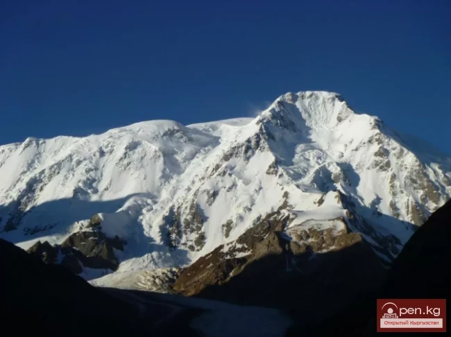
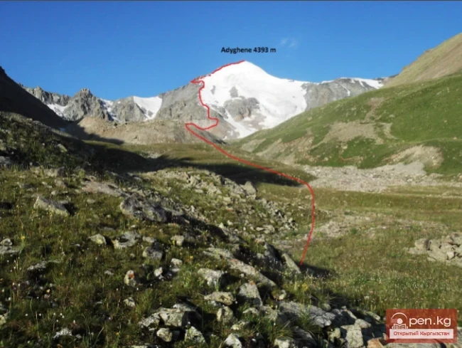
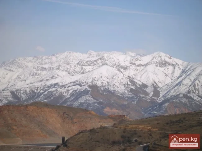
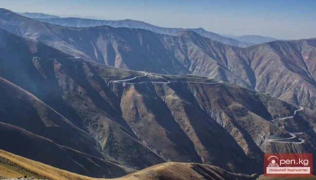
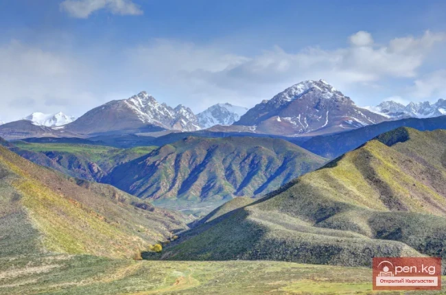
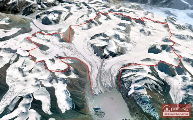
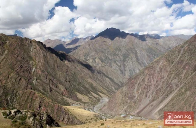
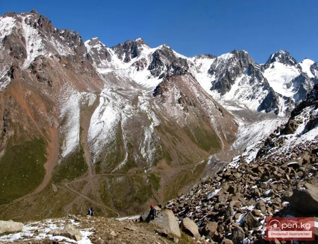
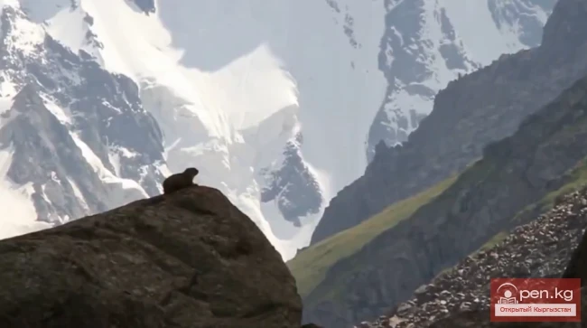
From the Eastern Ontor Glacier, tourists head towards Western Kulytor, where everything is covered in a blanket of snow. In principle, Ontor Pass is located in the northern part of the Terskey Alatoo system. It is bordered by the peaks of Djigit and Karakol. In turn, it divides the rivers Kulytor and Ontor. The landscapes that unfold from here captivate with their transitions: first mountains, then forests, rivers.
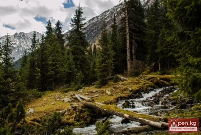
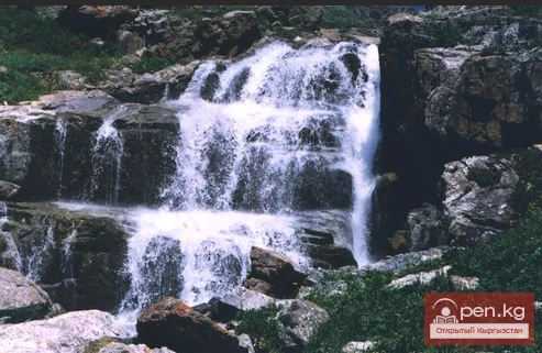
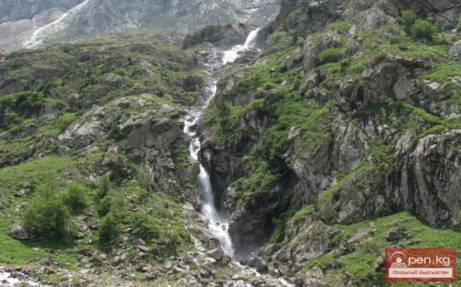
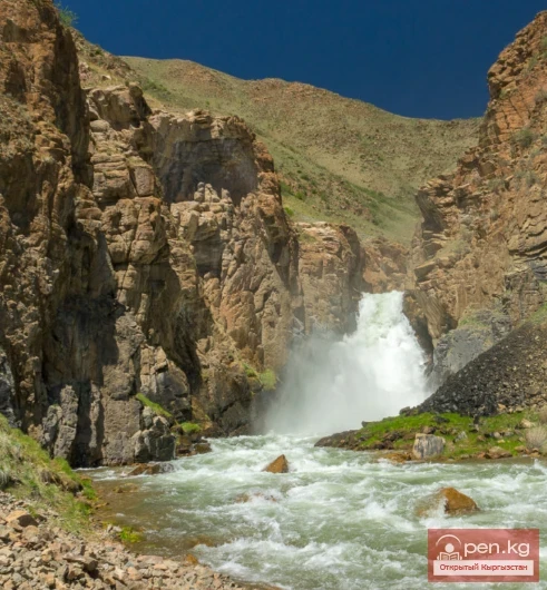
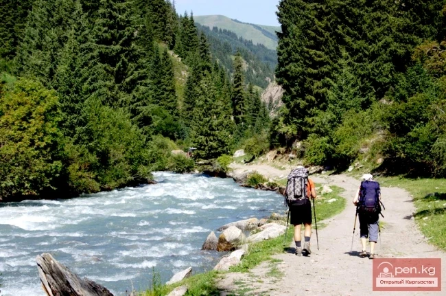
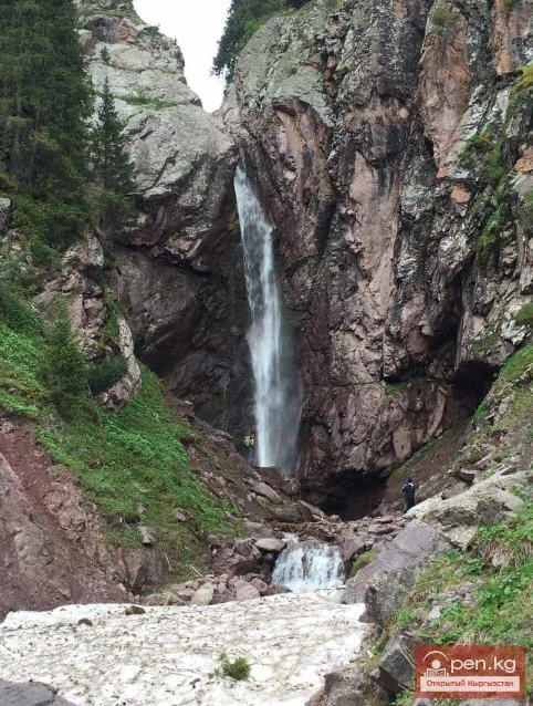
It seems as if Ontor Pass is a wall that divides two towers of ice. If tourists ascend to the glaciers from the plain, the beauty that unfolds before them is incomparable to anything else. The left bank of the river is marshy. This grassy marsh gradually transitions into a forest. The road on the right climbs steeply upwards and then crosses a meadow for about 500 meters. Eventually, it also goes into the forest. After that, there will be a gorge, difficult to pass, narrow, like the burrow of a fantastic monster. And in the background, the roar of a raging mountain river cascades down steep cliffs.
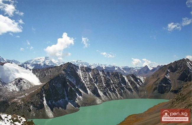
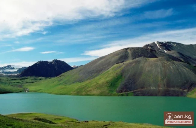
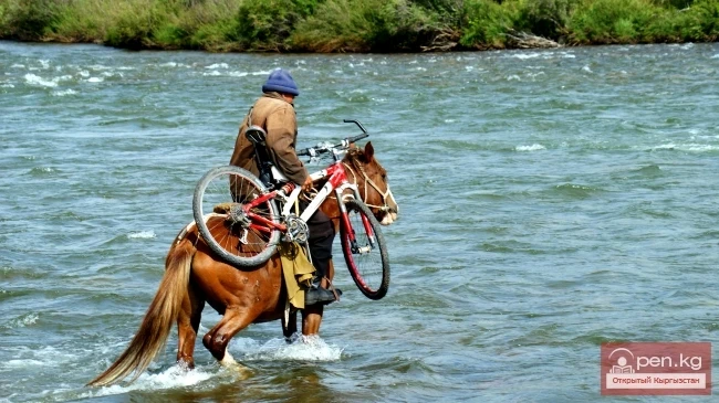
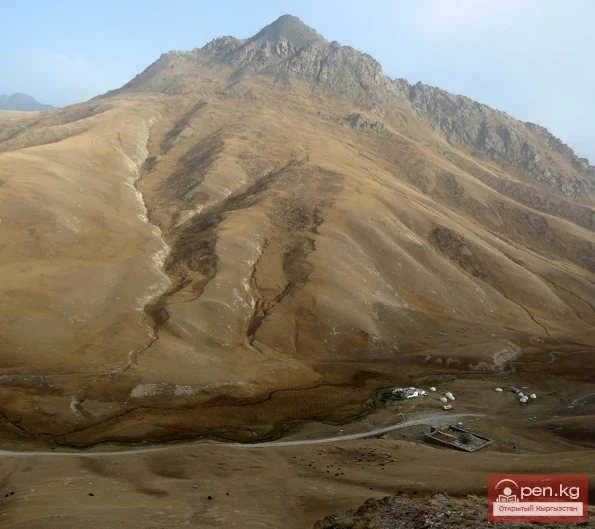
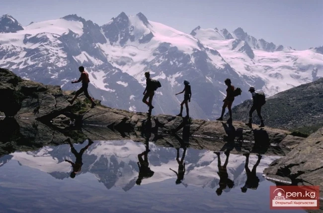
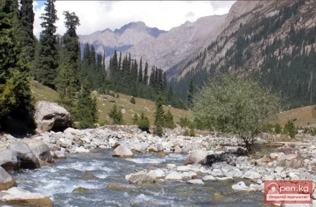
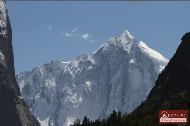
And now, just about 2 kilometers remain to the Ontor fork. Here you see a wooden bridge. Beyond it, a path leads to the mountain meadows. There is a narrow canyon, and through it, a turbulent river tries to break through, cascading down in a roaring waterfall. However, travelers need to climb higher and higher along the path. Their hopes will soon be rewarded with success. For ahead, the glaciers will loom. Just 2 hours of travel from the Ontor fork, and here you are before three moraines, made up of huge boulders. A moraine can be described as the remnants of receding glaciers. Once, in ancient times, glaciers reached this place. Here, small lakes still remain. The water in them is an extraordinary green color. The lakes are bordered by stones covered with green moss, and in some places, yellowish spots of lichen break through. After that, you will encounter a less impressive scene. Just mountains, stones, and dullness. And then suddenly, this gray place seems to melt away, and you see a narrow passage into the plain. The view is breathtaking! Here, the river carries its waters peacefully and silently. And in the distance, the peak of the Karakol Glacier can be seen, shining like a cool blue stone. A few more kilometers, and travelers will notice a new moraine. Its beginning stretches from a glade. Here, one feels an urge to take a break. Because next, you need to cross a marshy plain. After which, a small lake awaits, heralding the Karakol Glacier. And then, a few hours of travel along the rocks. And somehow, imperceptibly, the Karakol Glacier begins, dividing the path into two parts. The eastern trail leads along Terskey. The western one goes down. On the eastern path, you can even encounter flocks of sheep peacefully grazing here. However, you still need to cross to the other bank. After that, where Ontor meets the Kulytor arm, you will see a bridge. Don’t miss it; it’s almost invisible. It’s so inconspicuous.
The descent on the right path is interesting and generally simple. The slope here is gentle, densely overgrown with vegetation.
The path winds between lakes that spread across the surroundings. From here, the banks are marshy and thick with grasses.
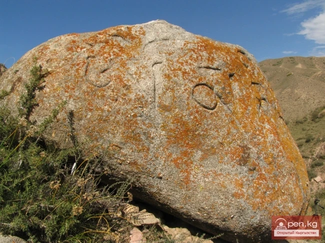
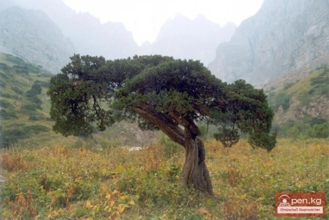
Once upon a time, in these places, mountain landslides often occurred. As a result, depressions formed here. Later, they filled with water and became bodies of water. There are several such bodies of water here. Into one of them, which is the lowest, flows a small stream called Ekichat North. And just below, you will even see the first trees, which are still not so majestic and tall. However, gradually they become larger and larger.
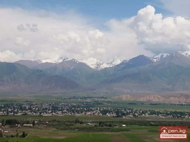
Right here, at this boundary, the difference between vegetation and glacial formations is clearly felt. On one side, meadows, and on the other, white cold expanses. And now you descend down to the bridge across the Kulytor River. You cross the Ontor River and come out to the road. From there, you can easily reach Karakol.
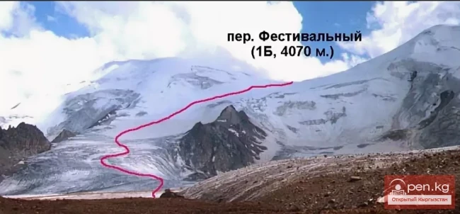
Passes