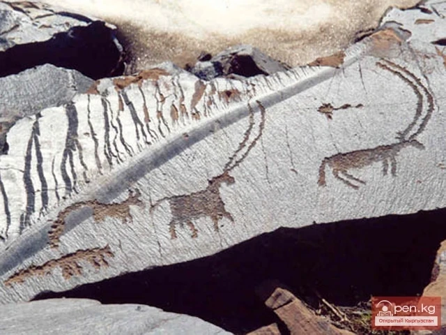
National parks and reserves
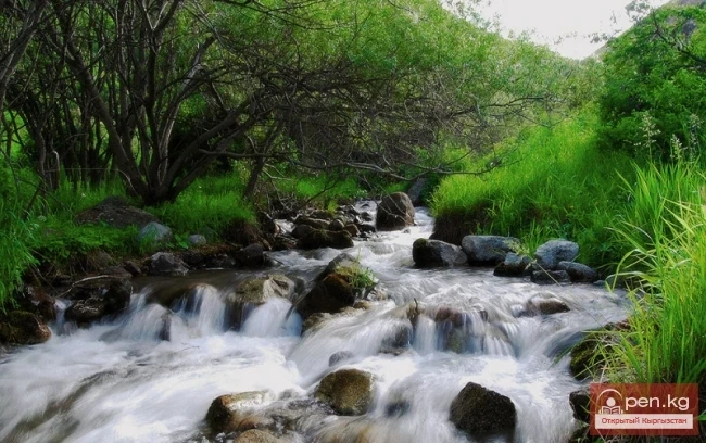
Ala-Archa National Park
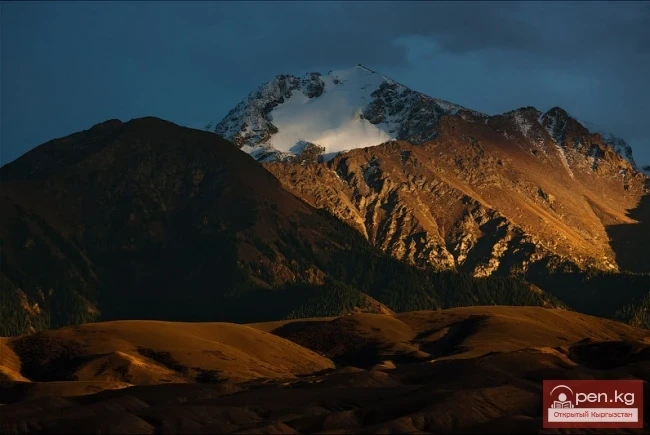
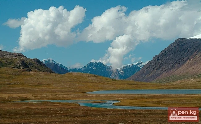
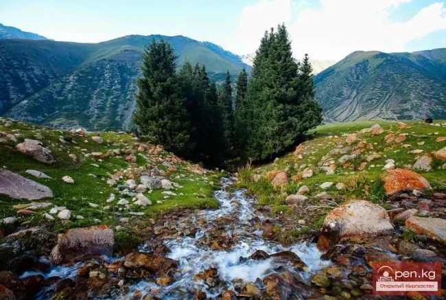
In the ridges of the Kyrgyz Ala-Too, there are 480 glaciers. The largest of them are located in the central part of the ridge between the upper reaches of the Ala-Archa and Alamedin rivers. This is the so-called Ak-Sai mountain knot. The highest points of the ridge are located on its crest: Semenov Tien-Shan Peak (4874 m), Corona Peak (4860 m), Free Korea Peak (4640 m), Teke-Tor Peak (4441 m), and Ak-Tuu Peak (4620 m). The path to the Ak-Sai peaks lies through the picturesque Ala-Archa gorge,
05.02.2014, 15:08