Caves of the Osh Mountains

Юля Caves
VK X OK WhatsApp Telegram
Caves of the Osh Mountains


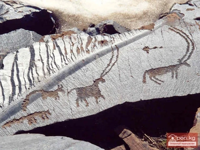
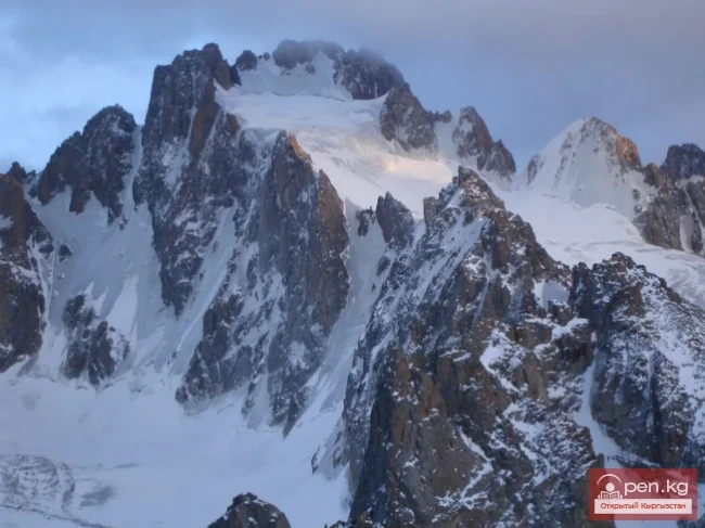
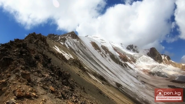
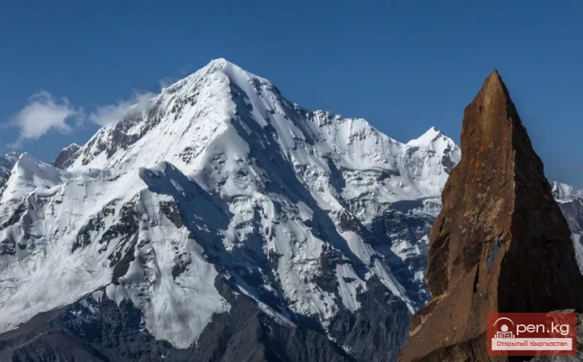
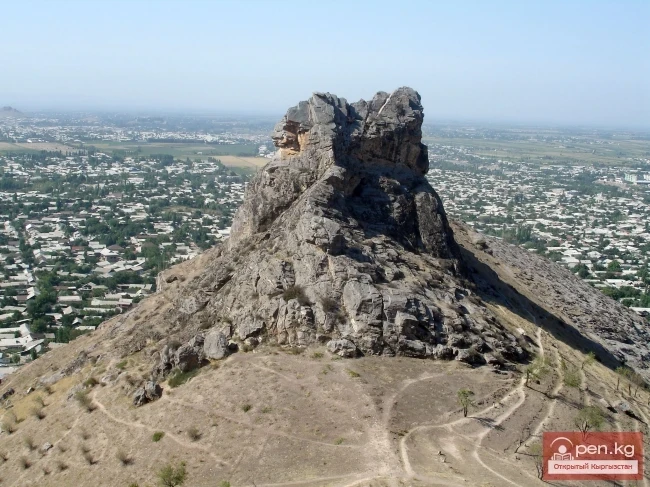
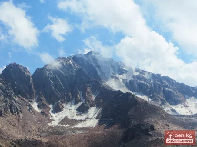
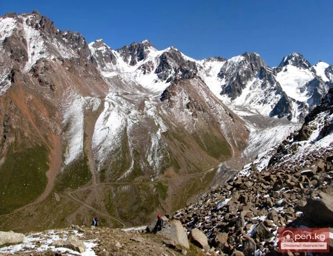
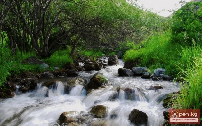
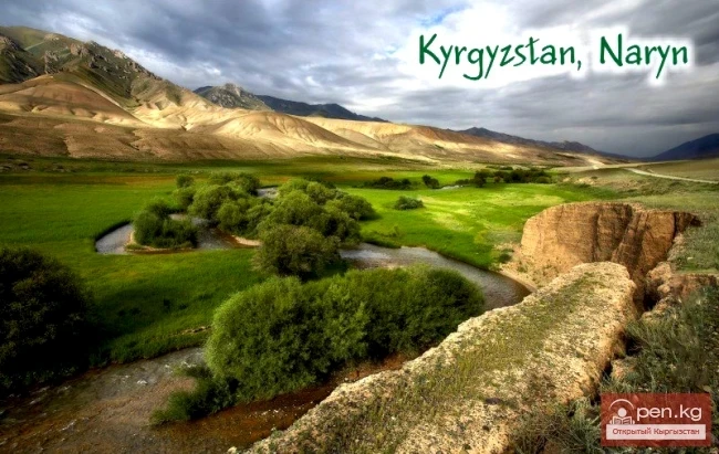
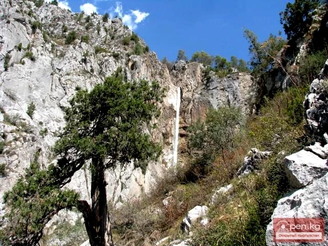
In the interfluve of the Aravan and Ak-Buura rivers lies the unusual land of Chil-Ustun, where karst remnants, arranged in three rows, strikingly contrast with the green backdrop of the floodplains of the foothill valleys, which flow into the oasis of the Fergana Valley beyond the western border. From a geological, or more precisely, geomorphological perspective, the stone islands are remnants of a once large mountain massif. They are composed of sedimentary rocks from the Paleozoic era, which are about 350 million years old. The highest point is the summit of Mount Chil-Ustun, which rises 425 meters above the valley. The absolute height of the summit is 1460 meters. On the southern slopes, which are deeply dissected by narrow gorges, karst caves have been discovered along the layering cracks.

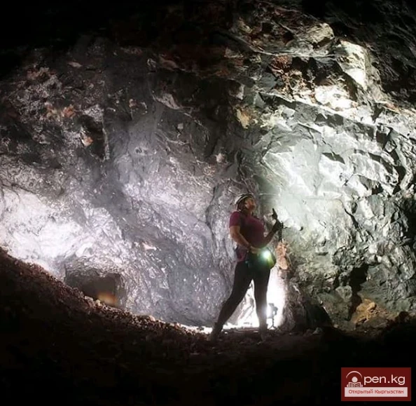
The most beautiful cave "Chil-Ustun" extends 380 meters and consists of three spacious halls connected by narrow corridors. The most impressive is the third hall, which is over 100 meters long, more than 20 meters high, and reaches widths of up to 50 meters in certain sections. The hall is supported by stunning columns that sparkle from the interplay of moisture and light. The walls are adorned with crystals and stone lace.

Caves of the Osh Mountains


The crystals are not silent: they hold the enchanting music of past centuries, which begins to sound at the slightest touch.

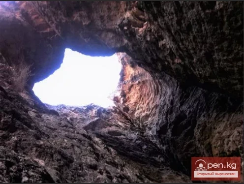
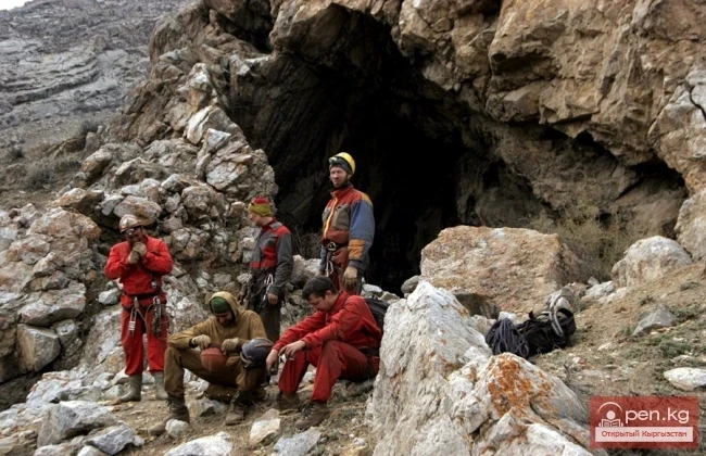
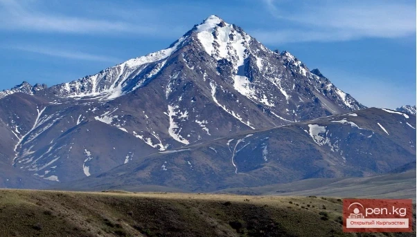
20 km south of Chil-Ustun rises Mount Tuya-Muyun, which is cut by the Aravan River into a deep canyon. On the left side of the canyon are: the deepest cave in the republic - Fersman Abyss, with a depth of 240 meters, the famous Great Barite Cave, about 300 meters long, and the cave "Azhida-ar-Unkur" - home to a huge colony of bats.

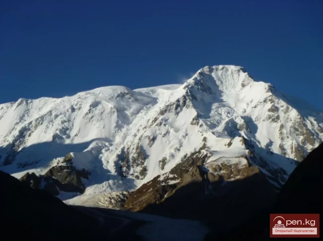
On the right side are the caves: "Surprise" with a length of 450 meters and "Victory" extending 1200 meters. All the caves of the Tuya-Muyun massif are characterized by rich mineralization, unique to this area. Crystals of various colors and shapes adorn the surfaces of most underground halls and passages.
VK X OK WhatsApp Telegram

Read also:

Fersman Cave

Fersman Cave

Cave Named After Academician A. E. Fersman About 20 km south of Chyl Ustun, in the Tuy-Moyun...

"Chil-Ustun Zone"

"Chil-Ustun Zone"

The Chil-Ustun Zone includes the Chil-Ustun, Chil-Mayram, and Keklik-Too mountains located around...

Caves of Kyrgyzstan

Caves of Kyrgyzstan

Caves of Kyrgyzstan Caves are rightly called the cradle of humanity. Primitive people took shelter...

Natural Park Kyrgyz-Ata

Natural Park Kyrgyz-Ata

Kyrgyz-Ata Natural Park is located in the basin of the river of the same name, which flows down...

Crown Peak

Crown Peak

Peak Korona (4860 m) is located in the Ala-Archa National Park at the summit of the Ak-Sai glacier...

The River Aflatun

The River Aflatun

Aflatun River – the largest right tributary of the Kara-Suu River in the Jalal-Abad region. The...

Petrovsky Peak

Petrovsky Peak

Petrovsky Peak (4910 m) - near Lenin Peak; Petrovsky Peak, in English Petrovskij Pik, is a...

Dugoba

Dugoba

This area is located 40 km from the village of Kadamjay, where the best antimony in the world is...

The Cave of Kan-i-Gut

The Cave of Kan-i-Gut

Kan-i-Gut Cave is located on the southern slope of the Djaman-Chul range, approximately 18 km west...

Tajikistan

Tajikistan

If Kyrgyzstan is the country of the Tian Shan, then Tajikistan is the country of the Pamirs. The...

Nansen Peak

Nansen Peak

Nansen Peak - one of the most outstanding summits located in the territory of Kyrgyzstan. The...

Zone "Isfayram-Sai"

Zone "Isfayram-Sai"

Zone "Isfayram-Sai". The left tributary of the Isfayram-Sai River is the Surme-Tash...

City of Osh

City of Osh

Recent studies have shown that the city with this name is not about two thousand years old, as was...

Peak of the World

Peak of the World

Peak Mira (4940 m) - located near Peak Lenin Mira I, in English Myra I, is a medium-height peak...

Lake Köl-Suu

Lake Köl-Suu

Lake Köl-Suu translates as "coming water" The lake is located in the Naryn region,...

Alay Ridge

Alay Ridge

Alay Range A mountain range of the Pamir-Alai mountain system in Kyrgyzstan and partially in...

Sharkyratma Waterfall

Sharkyratma Waterfall

Sharkyratma Waterfall It is located about a 40-minute walk from the alpine camp on the way to the...

Peak Manas

Peak Manas

Peak Manas - is the highest point of the Talas Ala-Too (4482 m). This bare peak in the western...

Peak Karakol

Peak Karakol

Peak Karakol (5281 m) Located in the Oguz Bashi massif on the southern shore of Lake Issyk-Kul;...

Ala-Archa National Park

Ala-Archa National Park

In the ridges of the Kyrgyz Ala-Too, there are 480 glaciers. The largest of them are located in...

Kok-Moynok Waterfall

Kok-Moynok Waterfall

Kok-Moynok - a beautiful stepped waterfall Chui Region. Located 75 km from Bishkek. Coordinates:...

Kuylytau Ridge

Kuylytau Ridge

Kuylytau A mountain range in the Central Tien Shan, in Kyrgyzstan. It is located between the...

Naryn

Naryn

This area includes the city of Naryn — a transport and distribution tourist center — and its...

Kainyndy Glacier

Kainyndy Glacier

Kainy Between Kokshaal-Tau and Kainy-Katta lies the powerful Kuyakap Glacier, and between...

Weather in Kyrgyzstan

Weather in Kyrgyzstan

SUNDAY, OCTOBER 3 In Bishkek, it is clear. The air temperature will rise to +14° Celsius during...

Talas Ridge

Talas Ridge

Talassky Ala-Too A mountain range located in the Western Tien Shan system. Most of it is situated...

Upper Naryn

Upper Naryn

Upper Naryn includes the upper part of the Naryn River basin from the vicinity of the town of...

City of Aydarken

City of Aydarken

Aydarken – a small town and industrial center in the central part of the Batken region. The...

Papańskoe Reservoir

Papańskoe Reservoir

Reservoir in the Valley of the Ak-Bura River The location of the Papan irrigation reservoir basin...

Write a comment: