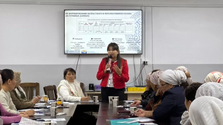
This training will be a logical continuation of previously held events, including hydrodynamic modeling of mudflow processes in 2024. This year, the focus will be on practical aspects, including the use of Synthetic Aperture Interferometry (InSAR) for analyzing changes in the Earth's surface, as well as modeling floods and mudflows.
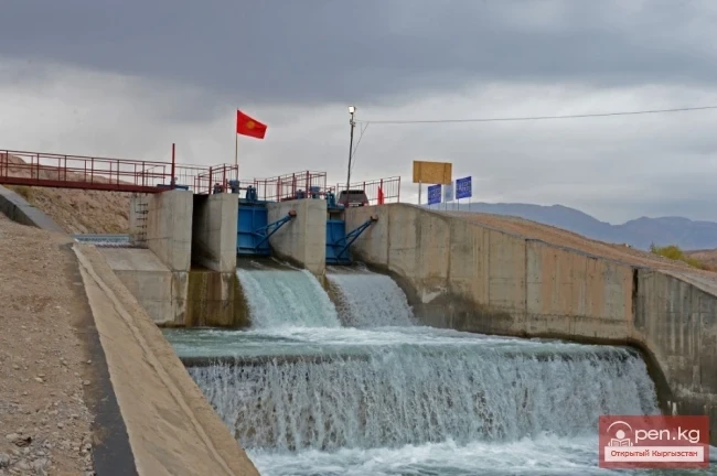
The InSAR method will allow specialists from the Ministry to study satellite images "before and after" various events, which will help identify ground shifts, such as bulging before a flood or movements preceding mudflows. Modeling will help predict water volumes, flow speeds, and directions, which is critically important for risk assessment and creating early warning systems. This will enable the early identification of potential flood and mudflow zones, as well as assess the threat to the population.
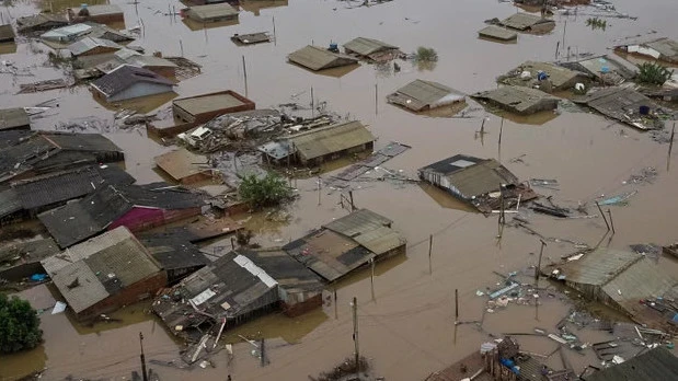
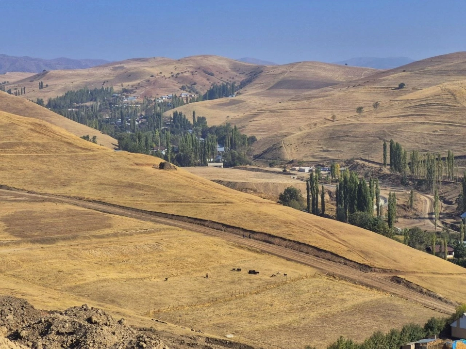
Kyrgyzstan is in a zone of high climate risks and ranks third among countries in Eastern Europe and Central Asia in vulnerability to natural disasters. Floods and mudflows account for nearly 40% of all emergencies, and their frequency, as well as economic losses, have significantly increased in recent years.
According to the Ministry of Emergency Situations, in 2024, the number of mudflows reached a record level over the past 30 years, resulting in infrastructure damage amounting to 14.5 million US dollars — this constitutes 90% of all material losses related to disasters for the year.