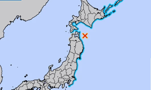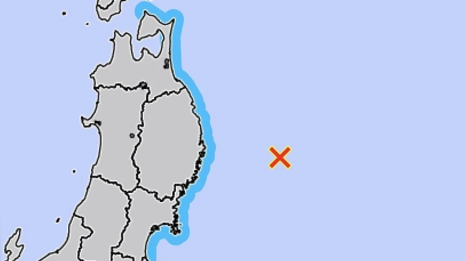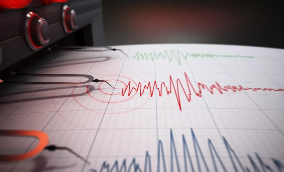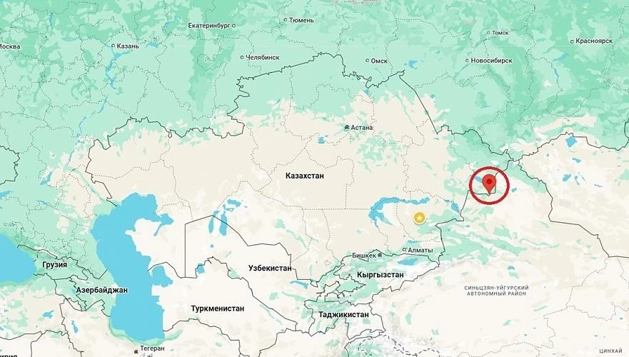
The Surface Water Ocean Topography (SWOT) satellite was in the right place at the right time when an earthquake with a magnitude of 8.8 struck off the coast of the Kamchatka Peninsula on July 29. This event became the sixth strongest earthquake recorded since 1900.
Although scientists have previously described tsunamis as non-dispersive waves, SWOT data challenge this view. Instead of expecting the wave to move as a single form, the research showed that it breaks down into many different waves.
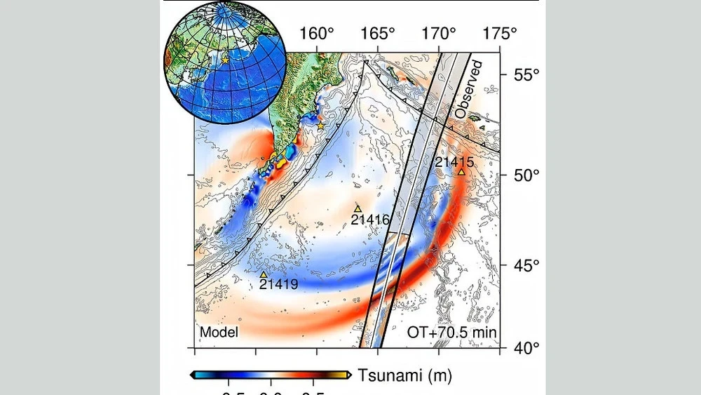
In a study published in The Seismic Record, high-precision satellite imagery of a major tsunami in a subduction zone was obtained for the first time. Scientists found that the waves interacted, scattered, and spread across the Pacific Ocean much more chaotically than expected.
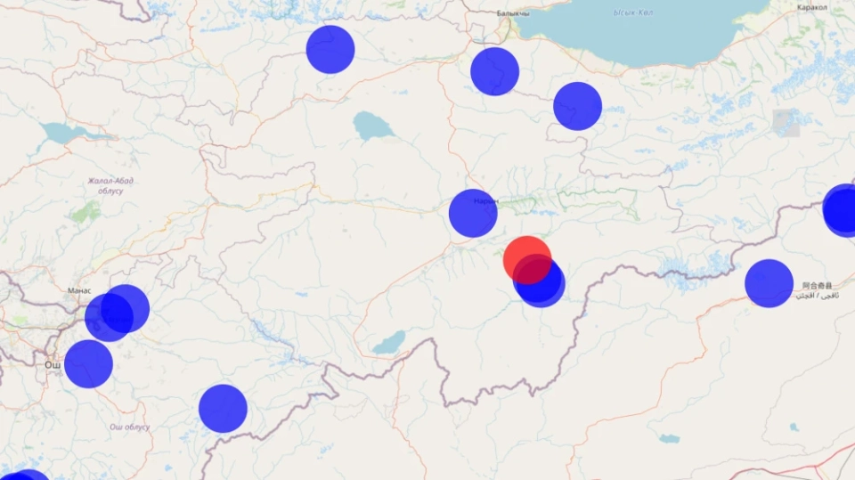
The team, led by Ángel Ruiz-Angulo from the University of Iceland, combined satellite data with measurements from DART deep-water buoys located along the tsunami's path. These sensors helped refine estimates of the earthquake that generated the waves.
Ruiz-Angulo noted that SWOT data are comparable to new glasses, allowing for the observation of tsunamis over a wide strip of up to 120 kilometers with high resolution, while DART buoys only recorded the tsunami at specific points in the ocean.
The satellite was launched in December 2022 as part of a joint NASA and French space agency mission aimed at conducting the first global survey of Earth's surface waters, including oceans, rivers, and lakes. Over two years of operation, researchers studied the satellite's data, analyzing everyday processes in the ocean, and did not expect to capture a tsunami.
Comparing satellite observations with computer modeling showed that tsunami models that account for wave dispersion more accurately reflect real data than traditional models. Ruiz-Angulo added that this means the main wave can change with trailing waves as it approaches the shore, and this effect requires quantitative assessment.
The team also noted a discrepancy between the predicted and actual arrival times of the tsunami recorded by two DART tidal sensors, indicating the complexity of its prediction.
Analysis of the tsunami source showed that the rupture from the earthquake extended south much farther than previously thought, covering approximately 400 kilometers instead of the expected 300.
Co-author of the study Diego Melgar emphasized that after the 2011 earthquake in Japan, it became clear that tsunami data help define the boundaries of slip at shallow depths. His laboratory and other researchers are working on integrating DART data into earthquake and tsunami analysis, but this has not yet become routine practice.
He also noted that it is important to combine different types of data to improve prediction accuracy, as hydrodynamic models differ significantly from seismic wave propagation models.
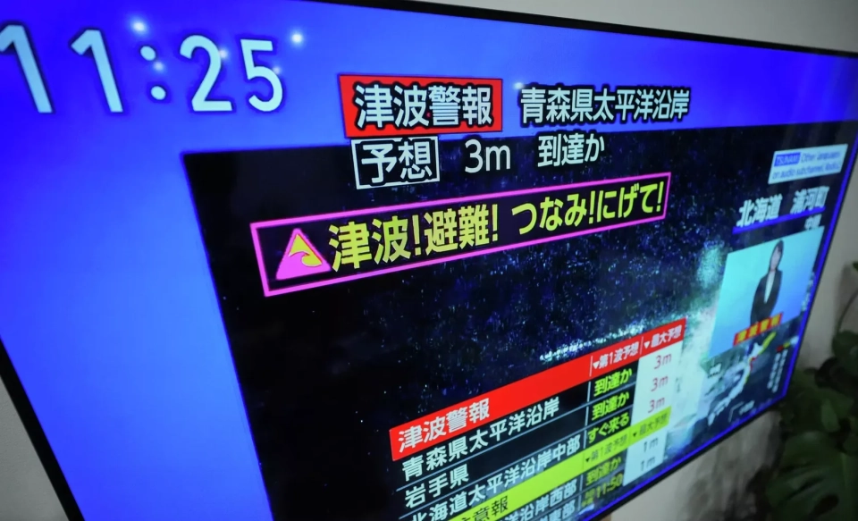
The Kuril and Kamchatka subduction zone is known for its large tsunamis, including the catastrophic event of 1952 caused by a magnitude 9.0 earthquake, which led to the establishment of an international tsunami warning system. This system also functioned during the events of 2025.
Ruiz-Angulo expressed hope that the results of such studies will contribute to the implementation of satellite observations for real-time or near-real-time tsunami forecasting.