The international expedition is currently studying the Thwaites Glacier. This ice mass in Antarctica, ominously named the "Doomsday Glacier," has begun to move, raising serious concerns among scientists. This was reported by "Radio 1."
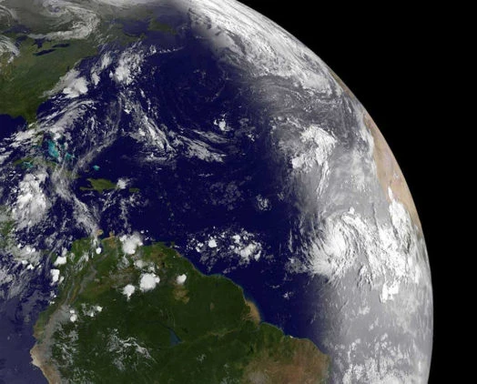
Experts estimate that the complete melting of this glacier could lead to a sea level rise of 60 cm, and in the worst-case scenario, by 3 to 5 meters. This could trigger a chain reaction affecting other glaciers as well.
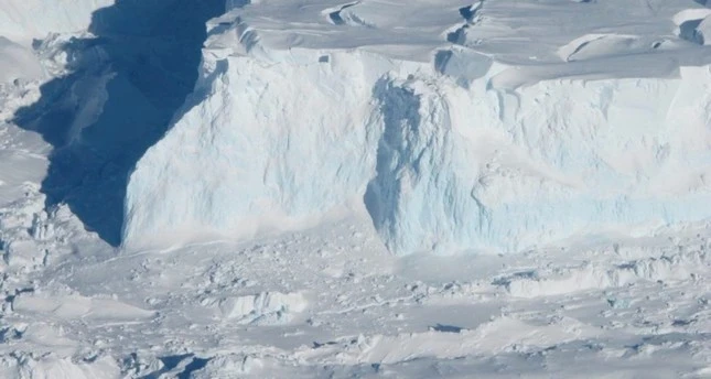
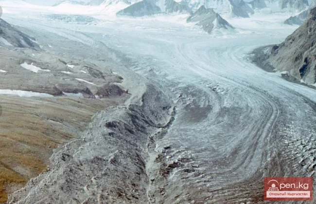
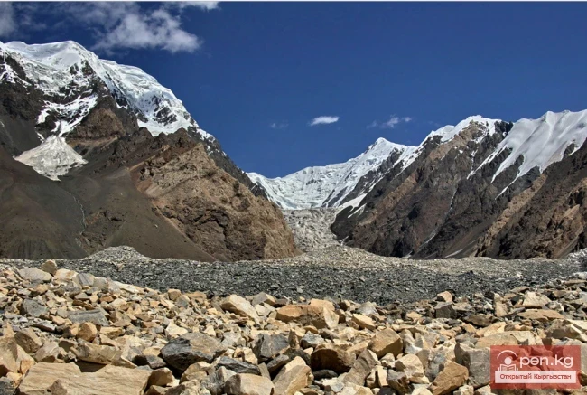
Satellite data shows that warm ocean waters are eroding the glacier's base, leading to the formation of cracks.
As part of the international scientific mission, researchers intend to study the Thwaites Glacier and draw definitive conclusions about its condition.
Why Thwaites is considered the "Doomsday Glacier"
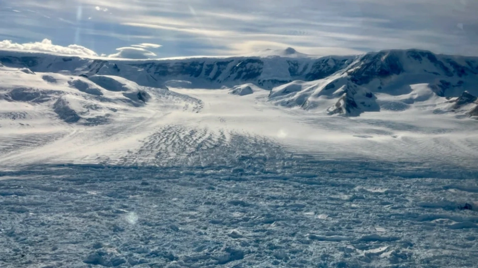
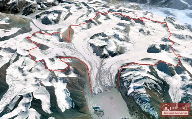
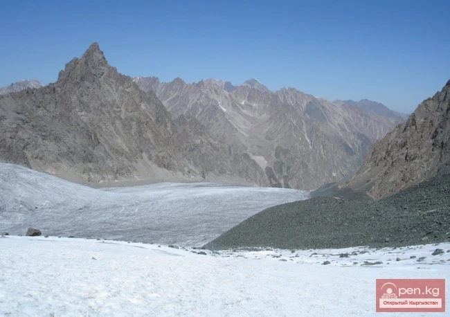
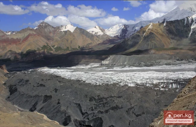
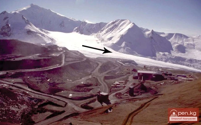
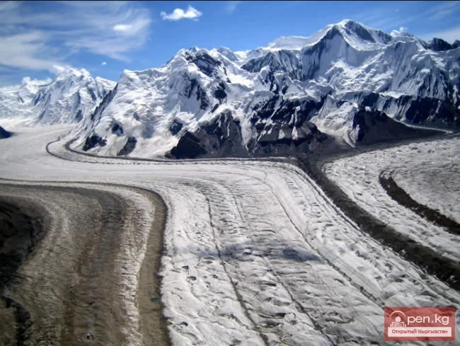
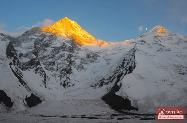
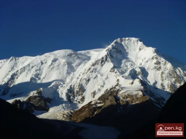
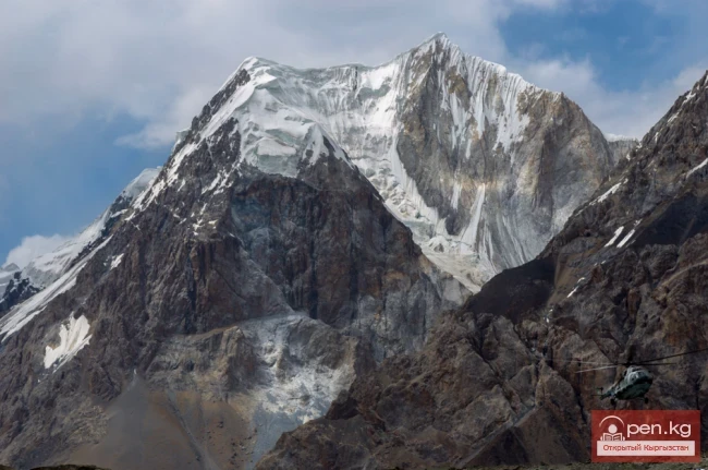
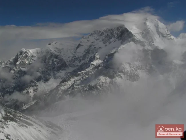
The Thwaites Glacier, located in West Antarctica, covers an area of about 192,000 square kilometers, comparable to the size of the United Kingdom. It holds vast masses of ice from the West Antarctic Ice Sheet, and its potential loss could destabilize the entire region.
Climatologists warn that if Thwaites melts, sea levels could rise by at least 60 cm; however, the most alarming aspect is that this could trigger a chain reaction resulting in a sea level rise of 3 to 5 meters, threatening millions of people and their infrastructure.
Threatening rates of destruction
It was previously thought that the Thwaites Glacier was stable because its base is located on the ocean floor. However, recent satellite and hydrological studies have shown that warm ocean currents are penetrating beneath the ice, eroding it and creating cavities and cracks.
These processes make the glacier more vulnerable than previously assumed. Scientists believe that the impact of global warming on Thwaites has been underestimated, and the actual rate of its destruction may exceed current forecasts.
Lessons from ancient climate
Paleoclimate data indicate that similar glacier destructions occurred on Earth about 120,000 years ago, leading to a sharp rise in sea levels. Modern research helps compare these events with today’s to understand possible future scenarios.
If history repeats itself, the consequences could occur much sooner than even the most cautious models predict.
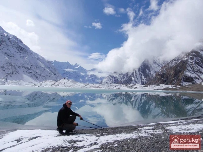
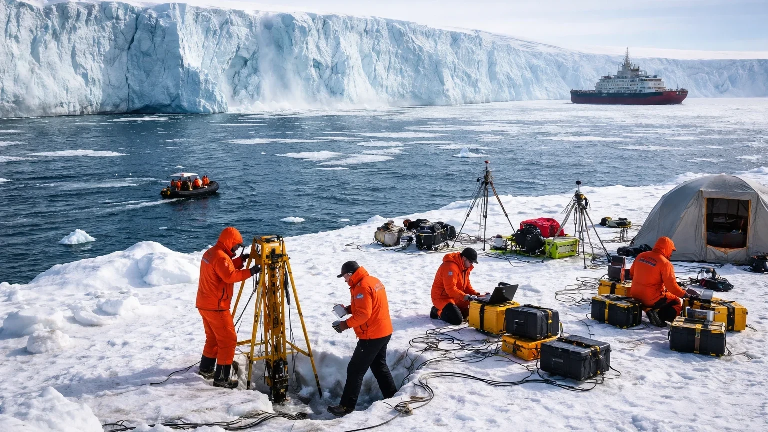
How the expedition is proceeding
The expedition began on the South Korean icebreaker "Aarón," which set out from New Zealand. The group consists of about 40 people, including scientists and journalists. Work near the glacier will take about a month.
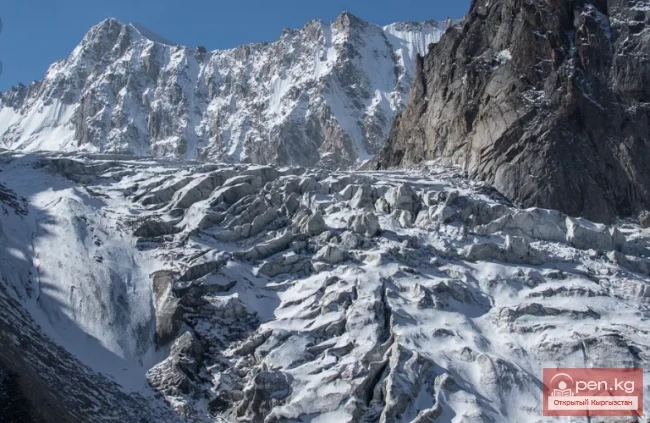
Working conditions are extremely challenging: the glacier moves up to nine meters a day, creating a risk of equipment damage. Additionally, extreme temperatures and strong winds complicate the work.
Modern technologies and methods
Advanced technologies are being used in the research, including airborne radar scanning to analyze the internal structure of the ice and drilling up to 800 meters to install sensors. Additional equipment is dropped from helicopters in hard-to-reach areas.
An unusual solution has been the use of seals, to which miniature sensors are attached to measure temperature and salinity of water at depths of up to 500 meters. This data is transmitted via satellite, allowing scientists to obtain information from inaccessible locations without risking the expedition.
Significance for the whole world
The research will help refine forecasts of sea level rise and assist in global strategic planning—from coastal protection to revising insurance standards and infrastructure placement.
The future of millions of people living in coastal areas depends on understanding the stability of the Thwaites Glacier. The answers that scientists obtain during this expedition could prove crucial in the fight against the consequences of climate change.