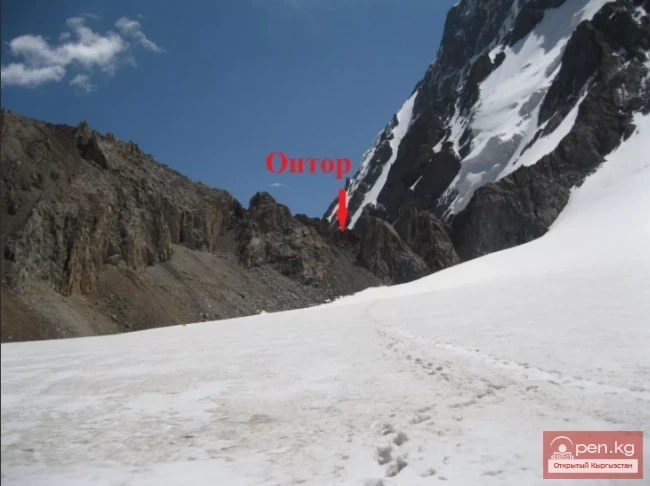
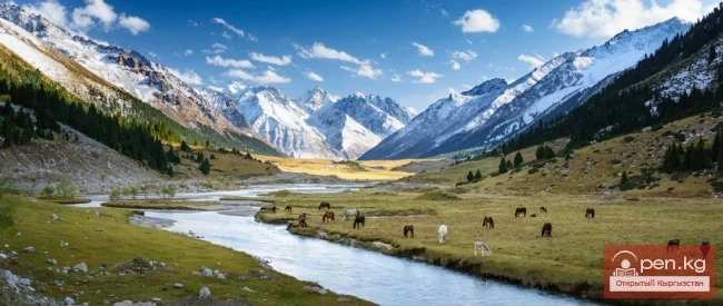
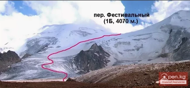
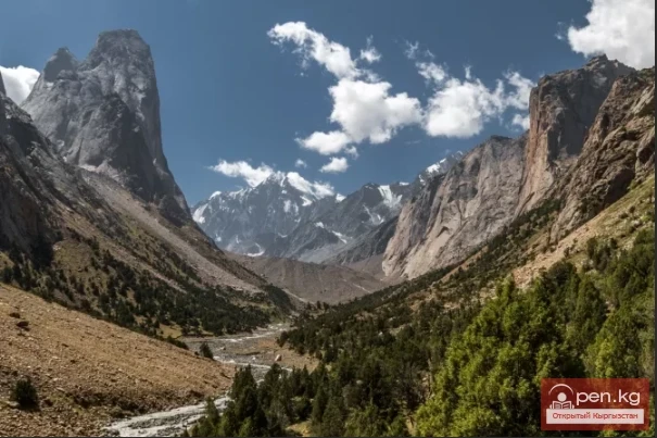
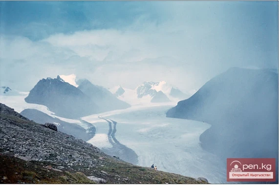
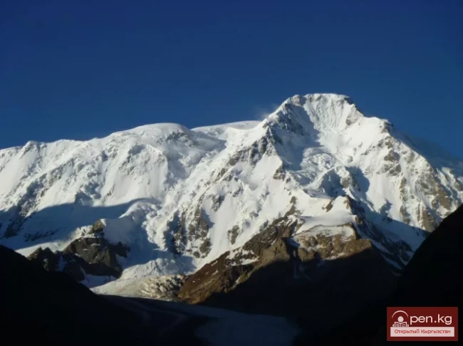
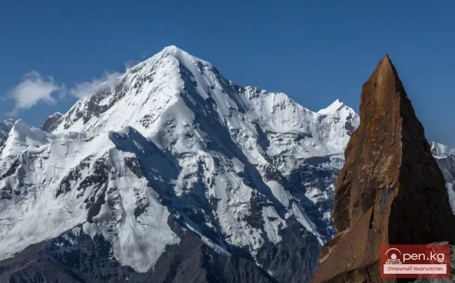
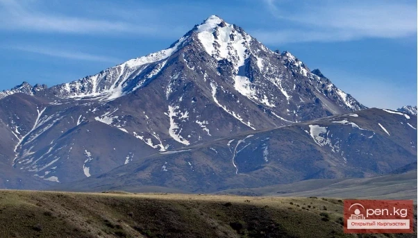
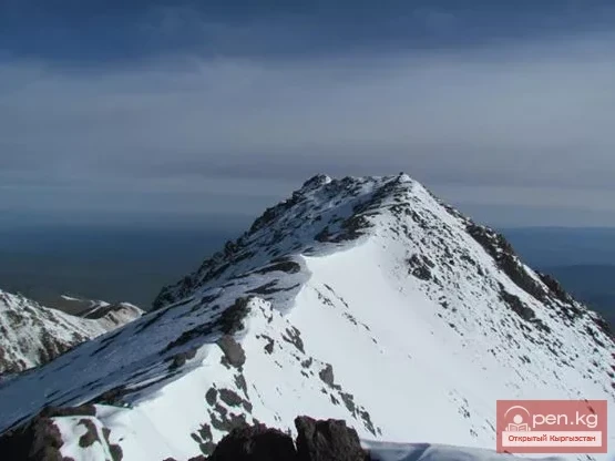
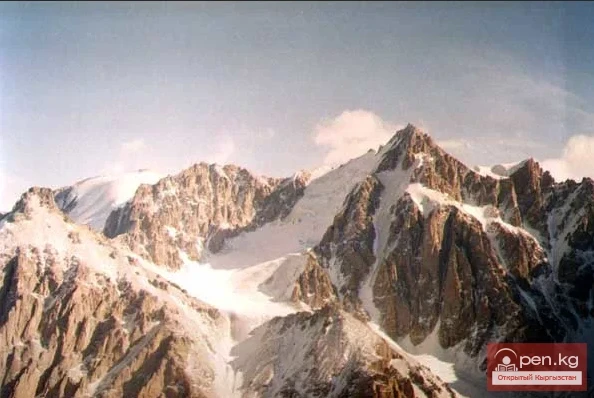
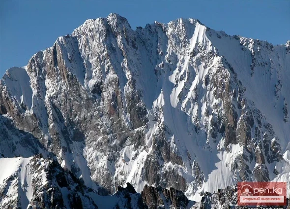
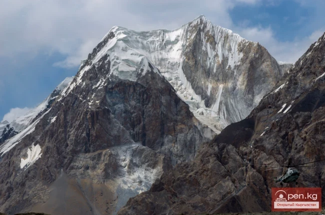
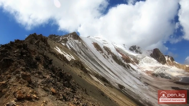
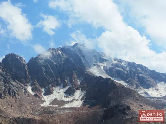
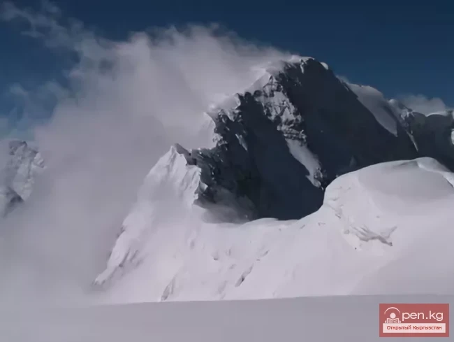
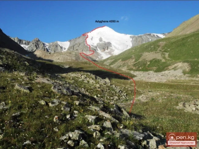
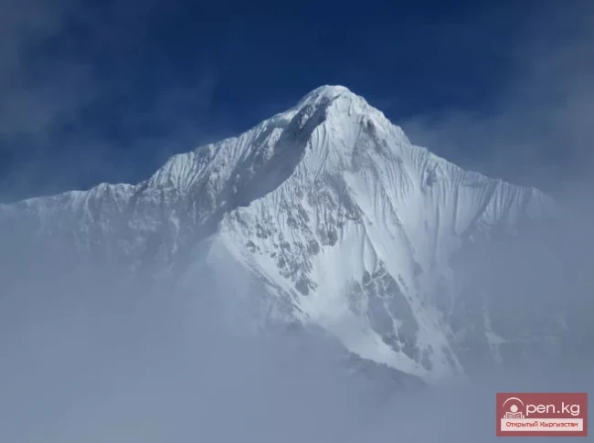
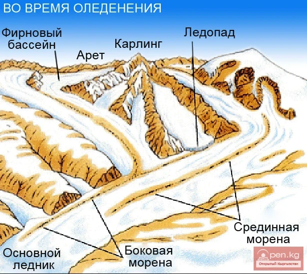
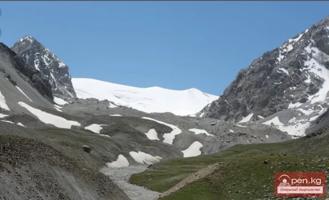
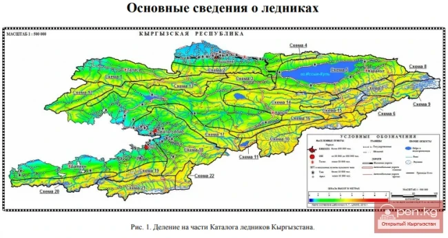
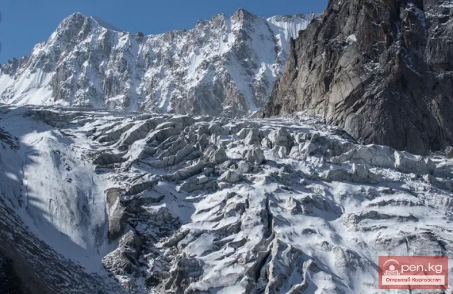
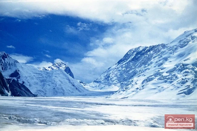
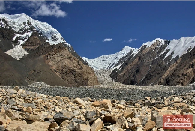
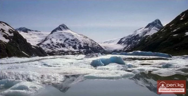
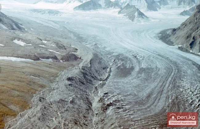
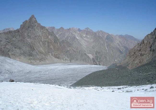
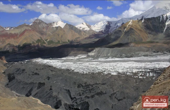
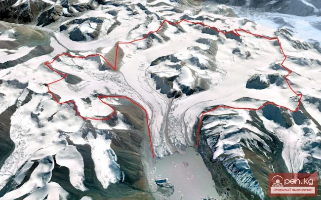
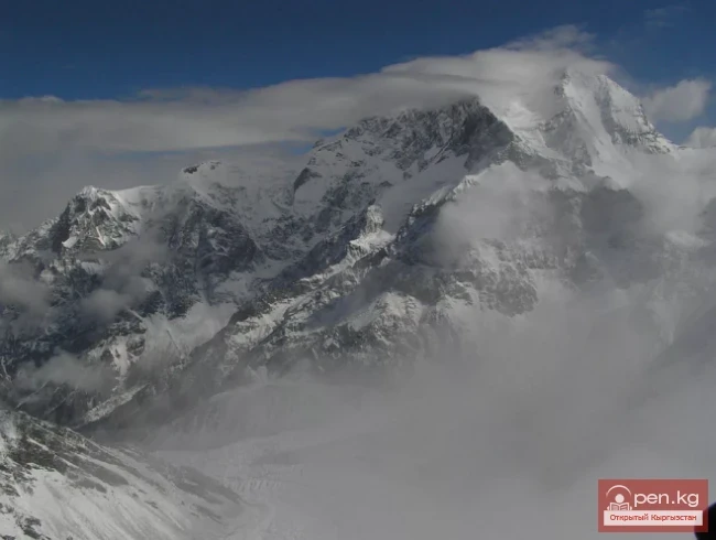
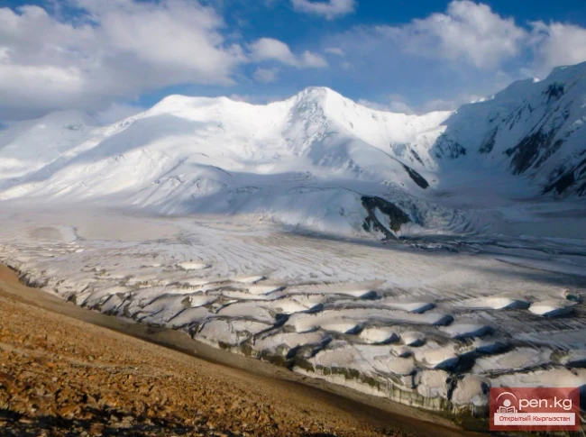
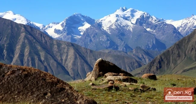
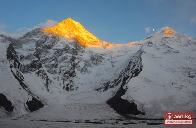
JUSTIFICATION for the draft Law of the Kyrgyz Republic "On Glaciers of the Kyrgyz Republic" The Kyrgyz Republic, occupying almost the entire western half of the powerful intra-continental mountain system of the Tien Shan and partially the Pamir-Alai ranges, has well-developed glaciation. Glaciers are one of the natural riches of the republic, the value of which is hard to overestimate, primarily due to their ability to maintain a sufficiently high water flow in most rivers even in
Only the Brave Travelers Will Conquer Takyrtor In the Issyk-Kul region, there are many gorges, in the middle of which flow numerous mountain rivers. Traditionally, the rivers and gorges are named the same. This also applies to the Takyrtor Gorge. The Takyrtor River merges near the bridge with a second river and becomes the large Arashan River. Earlier, a tributary of the Ekichat River flows into it. Along the right side of this river, there is an opportunity to ascend to the very interesting
Memorable hike with elements of extreme to Ontor Pass In the Terskey Alatoo system, there is a pass that tourists prefer over others. There is a reason for this. The route to it is simple yet intricate. The views that unfold before travelers amaze with their pristine beauty. This is Ontor Pass. Indeed, the route to the pass is quite passable, with diverse vegetation and fauna. Nevertheless, all the components of an exciting mountain hike are present – rocky peaks, glaciers, noteworthy
Hypotheses on the Origin of the Kurmentin Catacombs The abundant and astonishing territory of Preissykul holds many secrets. The very landscape is steeped in mysteries and enigmas. You will be amazed at how many beautiful tales the local inhabitants can tell you. Every village, town, and extraordinary rock formation has its own story. And all of them are magnificent! Some mysteries have had their veil of secrecy lifted over time, while others remain shrouded in mystery to this day. In 2005,
The Natural Beauty of Turgen-Aksu Gorges are those rare places in nature that have not been touched by the ubiquitous hand of man, which has not introduced its urban changes. But there is one gorge in the Issyk-Kul region, whose breath has been slightly touched by humans. However, it has not spoiled the creation of nature but has only slightly improved it. This is the Turgen gorge. It is perhaps the only gorge in Kyrgyzstan that has a paved road. Not all of it, of course, but only about 20
Festival Pass – a challenging, exciting trekking adventure At an altitude of 4000 meters lies the pass, which has been given a difficulty category of IIБ. It is called the Festival Pass. The Festival Pass stretches between the peaks of the Terkey Ala-Too ridge. This challenging crossing was first conquered in 1957 by a team of climbers led by M. M. Gantsevich. Since it was conquered by Soviet climbers, it was named in the traditions of the Soviet era – Festival Pass. This was because that year
Kavashinsky Cliffs and Laylak Kavashin is a mysterious and enchanting oasis of wild nature, located in the very heart of Pamir-Alai. It is a unique crossroads of the republics of Tajikistan, Kyrgyzstan, and Uzbekistan.
Ala-Myshyk Cave - Colorful Cat On the ridge of the mountain range rising above the surroundings of the city of Naryn, there stands a very beautiful mountain called Ala-Myshyk (Colorful Cat), named so due to the exceptional variety of the rocks that compose it. The slopes of the mountain are covered with green patches of Tien Shan fir trees. The Ala-Myshyk cave is located 6 kilometers west of the city of Naryn, 250 meters from the Naryn relay station, which is installed on the northern slope of
The Kolpakovsky Glacier is the most significant glacier of the Terkey-Ala-Too range. Its length is about 12 km, consisting of three branches with separate powerful accumulation areas, which represent extensive snow plateaus at an altitude of 4300-4400 meters, dropping to the north with elongated walls. To the south, the glacier gently descends to the moraines, making it wide and mostly calm, forming a small icefall only in the middle part. Right in the center of the glacier, about 20 meters
Peak of Military Topographers, Height 6873 meters above sea level. Located in the Central Tien Shan on the Muztag massif. The memory of the immense work of military specialists is immortalized in the name of one of the neighboring peaks, located to the east of Victory Peak at the junction of the Kokshaala-Tau and Meridional ridges. This peak, with a height of 6873 meters, is named the Peak of Military Topographers and is the third highest in the Tien Shan.
Peak Karakol (5281 m) Located in the Oguz Bashi massif on the southern shore of Lake Issyk-Kul; Peak Karakol is the highest in this area, the highest point of the Terskey Alatau, over 5 thousand meters. There are many climbing routes established here. The ski base "Karakol" is located nearby.
Nansen Peak - one of the most outstanding summits located in the territory of Kyrgyzstan. The height of the peak is 5697 meters above sea level. The mountain is situated in the Central Tien Shan, south of the Enelchek Valley. As early as 1902, the German geographer Godfried Merzbacher called this peak the most prominent of the entire mountain range opposite the Tuyuk-Ashu Pass. The scientist noted that the mountain deserved a name befitting its magnificent appearance. A worthy peak was given a
Peak Manas - is the highest point of the Talas Ala-Too (4482 m). This bare peak in the western part of the Talas Ala-Too ridge has very steep slopes where snow and ice do not accumulate. The Talas Ala-Too has a narrow rocky shore and its peaks rise above the 4000-meter mark. In the pre-crested zone, there are significant glaciers, and the slopes are heavily intersected by gorges, with powerful ridges branching off from the southern slope — Chatkal, Chandalash, and Pskem. Due to the steep
Peak Komsomolets - 4170m above sea level Located on the mountain ridge that separates the Aala-Archa Gorge and the Baychekekey Gorge, approximately 7.5 km from the alpine camp. The snowy peak can be seen from some streets in the city of Bishkek. It is almost always covered with snow at any time of the year. This peak has a climbing difficulty category of 1A. Due to the fact that one of the routes to ascend this peak is simple and does not require the use of safety gear, it has become popular
Peak Djigit - height 5170 meters. It is located in the main watershed ridge of the Terskey Alatau to the east of the peaks Karakol, Slonenok, Festivalnaya, in the Oguz Bashi massif on the southern shore of Lake Issyk-Kul. At the confluence of the sources of Kultan, a magnificent panorama of the Terskey Alatau opens up.
Peak of Semenov-Tian-Shansky — a mountain peak in the Central Tian Shan in Kyrgyzstan. The highest point of the Saryjaz ridge (5816 m). It rises above the valley with the North Inylchek glacier. The peak was named after Pyotr Petrovich Semenov, who explored the Central Tian Shan in 1857.
Peak Free Korea - located on the Ak-Sai ridge within the Ala-Archa National Park. In the past, one of the most famous peaks of the former Soviet Union. Until the discovery of peaks 4810 (p. Odessa) in Karavshin and p. Ak-Su in the late 1980s, Korea, along with the Caucasian peaks Ushba and Chatyn, were considered the most difficult and prestigious technical peaks. The most routes marked with gold medals at Union championships were completed on them. Peak Free Korea is located in the Tian Shan
Peak Uchityel, in English Uchityel - is a medium-height summit. Geographically, the peak is located as follows: Eurasia (Asia), Siberia, Kuznetskiy Alatau. From an administrative point of view, the peak is located in Kyrgyzstan. It is situated on the watershed of the Ala-Archa ridge of the Kyrgyz Alatoo and is one of the most popular peaks among climbers from Bishkek in the Ala-Archa river basin. The mountain rises to four thousand five hundred seventy-two meters, or fifteen thousand feet.
Pik Gorkogo (6050 m) - located in the Central Tien Shan in the Tengri-Tag ridge. The southern slope of Pik Maksima Gorkogo features an extensive bowl of a hanging glacier. At its exit, the glacier forms a 350-meter icefall, with the total length of the glacier being 2.5 km. A second ridge separates the basins of the Gorkogo and Stvora glaciers; at its rocky end, a mark was made in 1955 to fix the line for determining the movement speed of the Inylchek glacier. From the western shoulder of the
Peak of Soviet Kyrgyzstan - located in the Central Tien Shan, in the Mustagh massif. The section of the Tengri-Tag ridge between the peaks of Maxim Gorky and Petrovsky is unjustly forgotten by geographers and climbers. To the west of the peak of Maxim Gorky rises the summit of Soviet Kyrgyzstan. The sharp depression of the ridge between them is the result of the growth of the cirques of the Stvor glacier and the counter glacier of Suhodolskiy flowing to the north. Even this lowest saddle of
Petrovsky Peak (4910 m) - near Lenin Peak; Petrovsky Peak, in English Petrovskij Pik, is a medium-height summit. In terms of geographical location, the peak is characterized as follows: Eurasia (Asia), Central Asian ranges, Pamir. In terms of administrative affiliation, the peak is characterized as follows: Kyrgyzstan. The height of the mountain is four thousand seven hundred meters, or fifteen thousand four hundred twenty feet. The high season for ascents is in July, August, and September.
Peak of the 19th Party Conference (5882 m); The Peak of the 19th Party Conference, in English Peak 19th Party Conference, is a minor elevation located in the northern mid-subtropical latitudes of the Eastern Hemisphere, at coordinates 39.3833° North latitude, 72.9667° East longitude. Geographically, the summit is situated as follows: Eurasia (Asia), Central Asian ranges, Pamir. The peak belongs to the following country: Kyrgyzstan. The height of the peak is one thousand seven hundred
Peak Mira (4940 m) - located near Peak Lenin Mira I, in English Myra I, is a medium-height peak located in the northern mid-subtropical latitudes of the Eastern Hemisphere, at coordinates 39.4333° north latitude, 73° east longitude. Geographically, the peak is situated in: Eurasia (Asia), Central Asian Ridges, Pamir. Administratively, the peak is located in: Kyrgyzstan. The height of the peak is four thousand nine hundred fifty meters, or sixteen thousand two hundred forty feet.
Peak Korona (4860 m) is located in the Ala-Archa National Park at the summit of the Ak-Sai glacier It is one of the most picturesque peaks of the Kyrgyz Ala-Too. Korona, in English Korona - is a medium-height peak. Six mountain towers, when viewed from a distance, resemble the majestic crown of a medieval ruler. The towers are so steep that snow does not settle on their summits and walls, which adds a special grandeur to the landscape that unfolds before the tourist. The mountain cliffs reach
Peak Chapayev (6371 m) - located in the Central Tien Shan, in the Muztag massif. Peak Chapayev, in English Peak Chapayev - is a high mountain located in the northern mid-latitudes of the Eastern Hemisphere, at coordinates 42.21145° North latitude, 80.17479° East longitude. Geographically, the summit is situated as follows: Eurasia (Asia), Tien Shan. From the perspective of administrative division, the peak belongs to Kyrgyzstan. The mountain rises to six thousand three hundred seventy-one
Peak Adygene. It is located at the top of the gorge of the same name on the northern slope of the central part of the Kyrgyz Range. The peak is the highest point of the Jalamysh Ridge. Its height is 4393 m above sea level. North of Peak Adygene is Peak Agitators, from which a ridge runs eastward leading to the summit of Elektro. Between the two peaks, Elektro and Adygene, lies the Adygene Pass. From Peak Adygene, a short ridge extends westward. The summits of the western slope drop off into
Three Kyrgyz Seven-Thousanders. 1. Peak Victory - 7439 m. – the highest peak of Kyrgyzstan, the second highest mountain of the former USSR. From the side of China, Peak Victory is called Tomur. It is the northernmost seven-thousander on Earth, the highest point of the Tien Shan. The mountain is located on the border of Kyrgyzstan and the Xinjiang Uygur Autonomous Region of China, 16 km southwest of Khan-Tengri Peak, east of Issyk-Kul Lake. The first ascent was made on August 30, 1956, by a
CHARACTERISTICS OF GLACIERS IN RIVER BASINS To provide a complete understanding of the glaciation in the upper reaches of the Sarydzhaz River, we present brief characteristics of glaciation in the basins of its tributary rivers. Basin of the Otyuka River (glaciers No. 1 — 18).
Archa-Bashi Glacier on the Alai Range The Archa-Bashi Glacier is large and dendritic, located at the western foothills of the Tandy-Kul peaks (5539 m) and Snowy Shelter (5529 m) — both geographically belong to the High Alai. The polluted morainic trunk of Archa-Bashi has carved a distance of almost 6 km between the sheer walls of the spurs. The end of the glacier is situated at an altitude of approximately 3000 m. The gentle firn fields of the glacier's branches lie at the ridges, like on
Ak-Sai Glacier The glacier is located 40 km from Bishkek in the picturesque Ala-Archa gorge at an altitude of 3500 meters above sea level, within the Ala-Archa National Park. This gorge is the largest of all the gorges of the Kyrgyz Ala-Too range (part of the Tien Shan mountain system), with a length of over 35 km. The 5 km long Ak-Sai Glacier is the most beautiful of the largest glaciers in the range: Golubina, Top-Karagay, Tuyuk, Adygene, and Ala-Archa. The glacier and the waterfall of the
General Characteristics of Glaciation According to satellite images from "Landsat-8" for the years 2013-2016, there are a total of 9,959 glaciers in the territory of the Kyrgyz Republic, covering an area of 6,683.9 km², including: 6,227 glaciers larger than 0.1 km², with a total area of 6,494.0 km², and 3,732 glaciers smaller than 0.1 km², covering an area of 189.9 km². According to the Catalog of Glaciers of the USSR (1940s-1970s), there were 8,164 glaciers in the territory of the
Komarov Glacier (Ak-Sai), Kokshaalsky Ridge The first survey of the glaciation in this area was conducted by N. N. Palgov in 1928, so we refer to his article. The glaciers of the upper reaches of the Ak-Sai River flow down from Kok-Shal-Tau onto a wide plateau known as the Kogaly-Chap area. The relief of this plateau-lake, with its huge boulders, reveals its glacial origin. Therefore, all the glaciers of the upper Ak-Sai can be considered remnants of an ancient glacier that, in its final
The Nura Glacier is located in the basin of the Eastern Kyzylsu River A large complex valley glacier formed from small and medium glaciers flowing from different sides into the main trunk, glacier 85,86. The glacier is gentle, closed, and has crevasses. The overall short and passive tongue is covered by a thick layer of moraine, containing buried and dead ice. The end of the tongue transitions into dissected loose deposits of significant thickness with deep incisions from modern flows. The
Kyzylsu - Red Water The Kyzylsu Glacier (often referred to as the Eastern Kyzylsu) is a complex valley glacier of the Eastern Zaalai. It is 15.1 km long and covers an area of 43.0 sq. km. The height of the glacier's tongue is 3780 m, and the firn line is at 4500 m. The main flow of the glacier extends from the southwest to the northeast and has a three-chamber accumulation area. These chambers are located on the northern slopes of the Kulumdy (6613) and Chorku (6283) peaks. The glacier
Zvezdochka The Zvezdochka Glacier flows into the Inylchek Glacier, 40 km from the tongue of the latter, and is the most powerful of its southern (left) tributaries. The elevation at the confluence of the Zvezdochka Glacier is 4000 m above sea level, and its width reaches 3 km, which is almost the same as that of the Southern Inylchek Glacier. The total length of the Zvezdochka Glacier is 20 km. The glacier is sharply divided into two parts: the upper and lower sections. The upper part runs
Koy-Kap - Glacier in the Khan-Tengri Massif The Kaindy Ridge, which separates the valleys of the Kaindy and Koy-Kap glaciers, adjoins the Inylchek-Tau ridge in the area of the Red Army Peak in the eastern part. The northern slopes of the ridge have significant glaciation. In the wide lateral valleys of the ridge, there are relatively large (3-7 km long) valley glaciers. The southern slope of the ridge has less glaciation and a steep gradient; it is cut by narrow canyon-like gorges through
Glaciers of the Kyrgyz Ala-Too The highlands of the Kyrgyz Range feature a deeply dissected alpine relief, which results in a variety of glacier forms. The majority of glaciers belong to the cirque and valley types, with many hanging glaciers and various transitional forms. Many glaciers over different areas are covered with debris, and almost all have powerful modern moraines. Extensive zones of fractures, icefalls, and ice dumps are often encountered. The Karamoynok Range is characterized by
Nalivkin Glacier. One of the right tributaries of the largest glacier in Pamir, Fedchenko Glacier. It is located in the valley between the North Tanymas and Aral ridges. The main flow of the glacier is connected into one system with the North Tanymas Glacier through the ice divide. The varying width of the Nalivkin Glacier flow at the right bank of the main trunk of the Fedchenko Glacier below the confluence indicates uneven ice supply. Its right tributaries — glaciers 25, 26, 28, 29, and 30 —
Slow Retreat of the Abramov Glacier The Abramov Glacier in the Pamir-Alai mountains is one of the most picturesque and well-studied glaciers in the world. From 1967 to the 1990s, various very interesting studies were conducted on it. We are conducting our research in collaboration with the Central Asian Institute of Applied Earth Research. According to our observations, the melting of this glacier is occurring more slowly than in the Tian Shan mountains. However, opinions on this matter are
Golubina Glacier The Golubina Glacier is of the valley type and is located on the northern slope of the Kyrgyz Ala-Too range, in the basin of the Ala-Archa River (a left tributary of the Chu River). With an area of 6.2 km², its length exceeds 5 km. The highest point of the glacier basin is at an altitude of 4220 m, and the firn line is at an altitude of 3860 m. The firn basin of the glacier is a vast hollow, approximately 3 km in diameter, surrounded by snow-covered rocks. At the exit from the
Lenin Glacier — a mountain valley glacier on the northern slope of the Zaalai Range (Pamirs), in Kyrgyzstan (Osh region). The length of the glacier is 13.5 km, and its area is 55.3 km². An extensive firn basin lies at the foot of Lenin Peak (7134 m), with the firn line at an altitude of 5300 m. The tongue of the glacier descends to 3760 m, from where the Achi-Tash River begins, a left tributary of the Kyzylsu. The right tributary of the glacier is pulsating: in 1945 and 1969, it cracked and
Petrov Glacier - a glacier in Central Tien Shan On a small area of the Ak-Shiyrak mountain range, glaciers and snow cover are spread over two major river basins of Kyrgyzstan — the Sary-Jaz and Naryn rivers. In an area measuring 30 x 40 km, glaciers cover 435 km², which accounts for 44% of the area. The total number of glaciers is 154. The largest is the Petrov Glacier. Petrov Glacier is a glacier in Central Tien Shan in Kyrgyzstan, located in the Akshiyrak mountains. It is the source of the
The Greatest Glacier of Pamir On August 22, 1953, eight climbers from the Pamir expedition of the All-Union Central Council of Trade Unions — A.S. Ugarov, A.S. Gozhev, L.M. Krasavin, P.K. Skorobogatov, B.D. Dmitriev, A.I. Kovyrkov, E.M. Ryspaev, and R.M. Selidjanov — reached the summit of Mount Evgeniya Korzhenevskaya — 7105 m. Soviet high-altitude climbers conquered the last, third highest seven-thousander of Pamir, following the peaks of Lenin and Stalin, the fourth highest peak in the USSR.
Chatkal Ridge of the Central Tien Shan The mountain range in the Western Tien Shan, which limits the Fergana Valley from the northwest, is about 225 km long, 30 km wide, and has an average height (above sea level) of 3800 m. The highest peak, Chatkal (Aflatun), reaches 4503 m. It is located in the Tashkent region of Uzbekistan and the Jalal-Abad region of Kyrgyzstan. The main peaks of this ridge are slightly above 3000 meters, among which stand out Big Chimgan, Kyzylnura, Babaytag, Karakush,
Semenov Glacier - the basin of the upper reaches of the Sarydjaz River. This basin includes the glaciers at the sources of the Sarydjaz River and the glaciers on the northern slope of the Aydyrtor ridge, excluding its western section — the basin of the Turegeldyn River. There are 44 glaciers in the basin with a total area of 118.5 km². Of these, 64.1 km² belongs to the Semenov Glacier system, which originates on the northwestern slopes of Semenov Peak, at the junction of the Terkey-Alatau and
Mushketov Glacier A valley tree-like glacier in the Central Tien Shan in Kyrgyzstan (Issyk-Kul region), located on the northern slope of the Sarydjaz ridge, at the sources of the Aditor River, a left tributary of the Sarydjaz River. The length of the glacier is 20.5 km, with a width ranging from 1 to 1.8 km. The area is 68.7 square kilometers. The feeding area lies in a huge cirque at an altitude of 4500 to 5500 meters above sea level, with the firn line at an altitude of 4100 meters above sea
Dzhangart Ridge The Dzhangart mountain ridge is located south of the Kainy Ridge on the border with the People's Republic of China. Administratively, it belongs to the Aksuysky district of the Issyk-Kul region. The small Dzhangart ridge is separated from the Kokshaaltau Ridge by the Dzhangart River and glacier. Ascents are possible both on the Dzhangart ridge, where heights reach up to 4600 meters above sea level, and in the Kokshaaltau Ridge, where heights are 5340 meters above sea
Kainy Between Kokshaal-Tau and Kainy-Katta lies the powerful Kuyakap Glacier, and between Kainy-Katta and Inylchek-Tau lies the enormous Kainy Glacier, the younger sibling of Inylchek, the second largest glacier in the region. The glacier is located on the southwestern edge of the Kan-Tenir ridge. It is bordered to the north by the Enilchek-Tuu ridge and to the south by the Kainy ridge of the same name. The length of the glacier is 25.8 kilometers, and its area is 107.5 square kilometers, of