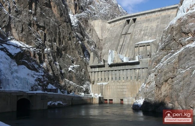
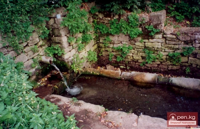
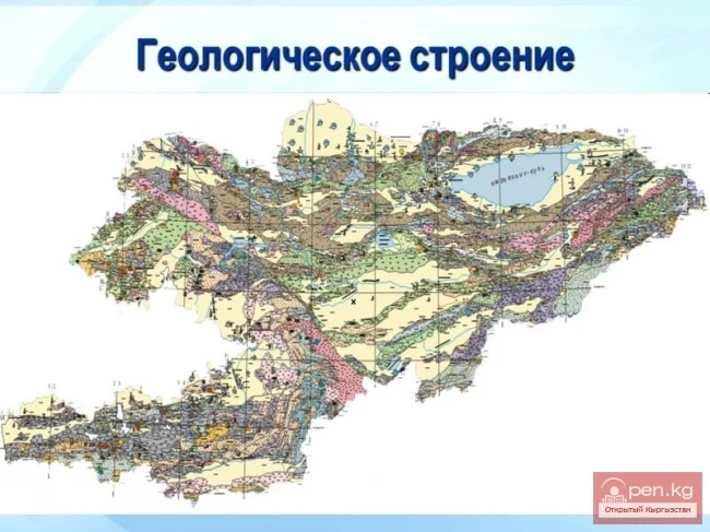
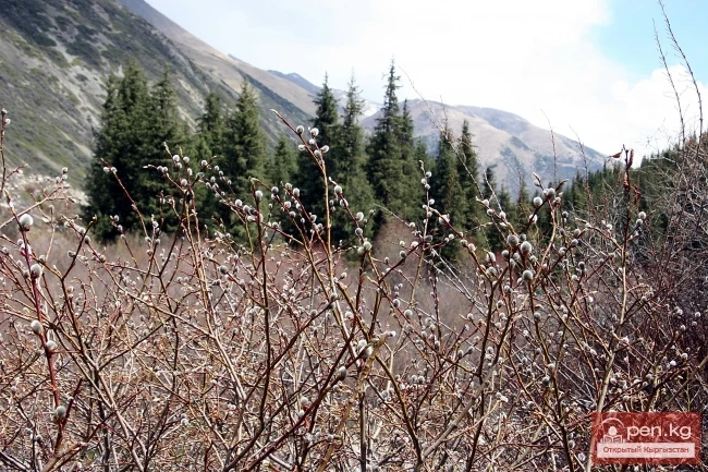
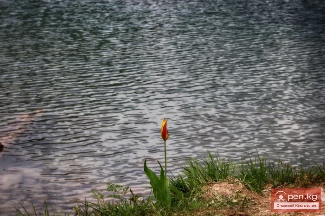
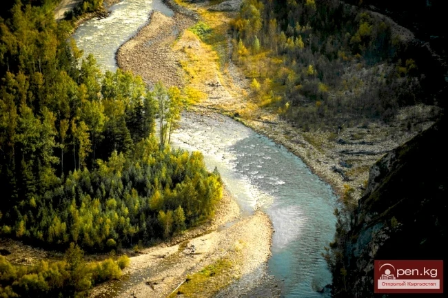
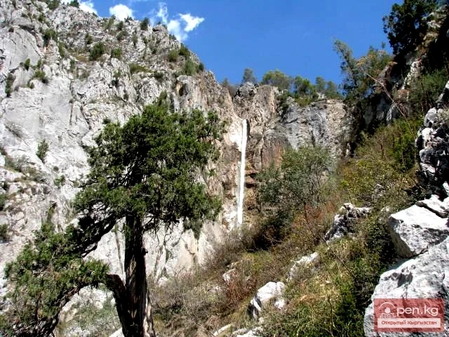
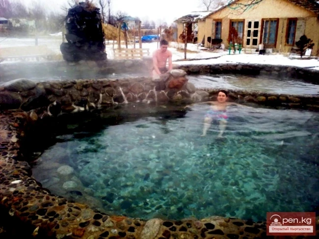
Dzhergalan Thermal Water Deposit was discovered accidentally during the drilling of a parametric well by the "Kyrgyzneft" management in the early 1960s in the valley of the Dzhergalan River, 200 meters upstream from the bridge over it on the Tyup-Karakol highway. The absolute elevation of the area here is 1630 m, which is about twenty meters higher than the level of Lake Issyk-Kul.
Jalal-Abad Deposit is located on the left bank of the Kugar River valley on the southeastern outskirts of the city of Jalal-Abad, the second largest industrial and cultural center in the south of the republic. The mineral springs of Hazret-Ayub-Paygambara (the name of the village that existed before the war on the slope to the north of the modern resort) have been known to the local population for a long time, in times that can be called archaeological, as their traces are usually established
The Aksu Deposit is located in Eastern Prissykul, 15 km southeast of the town of Krakal, in the river mouth area of the Ak-Suu River — a right tributary of the Arashan River, at absolute elevations of about 1750 m. The first descriptions of the deposit were made in the mid-20th century by the famous geographer P. P. Semenov-Tyan-Shansky, although local residents were undoubtedly aware of it long before that.
In Kyrgyzstan, approximately 2100 species of mushrooms are currently known. They are conditionally divided into micromycetes and macromycetes. Macromycetes are a group of higher fungi that have large fruiting bodies of various shapes, represented by 286 species.
As sad as it is to realize, our time has become a period in Earth's history marked by the most drastic changes (almost to the point of destruction) that humanity has inflicted on the natural environment. Currently, as a result of anthropogenic impact, thousands of species of plants and animals may disappear from the planet. This process must be halted because further reduction of biodiversity could lead to destabilization of ecosystems.
The question of the origin of carbonated waters is one of the most controversial in hydrogeology and is pivotal in the problem of mineral water formation.
Carbonated water in the Chaek well. For now, this is the only well of its kind in the republic that has revealed water with increased CO2 content in a place where there were no serious grounds for such an expectation.
Mineral Springs of Shilbeli contain the least mineralized naturally carbonated water in Kyrgyzstan. They are located in the basin of the Karakuldja River, 80 km directly east of the city of Uzgen, on the right bank of the Shilbeli stream valley, which is a left tributary of the middle course of the Surtaš River. The absolute elevation of the area where the Shilbeli springs are located is close to 3200 m. There are two groups of springs at a distance of 350 m from each other; in terms of carbon
Kacharaltur Area is located on the same left bank of the Yassy River as Kara-Shoro, but 200 meters downstream. At the base of the slope and along the riverbed, there are about half a dozen springs of mineral water and gas emissions. In the most concentrated flows, the water has a mineralization of about 6 g/L, with carbon dioxide content up to 1.88 g/L, otherwise closely resembling the indicators of Kara-Shoro. The flow rate of mineral water here is close to 0.5 L/s.
Kara-Shoro Deposit includes 3 areas of carbonated mineral water distribution — namely Kara-Shoro itself, Kacharaltur, and Konurtebe, and is remarkable primarily for two indicators: it features carbonated water with the highest salt content in Kyrgyzstan (over 40 g/l) and has the most diverse types of mineral waters among those found in the republic; furthermore, the water from this deposit contains the highest concentrations of microelements such as iron, zinc, and barium. Among all the
Source Arkarsur is the most frequently visited outlet of carbonated waters by wild animals. Not to mention that the marked feature is clearly expressed in the name of the spring (arkar — a direct reference to argali, while "shur" can be easily recognized as a somewhat distorted Turkic "shor" — salt).
The carbonated water of Kara-Kiche is the most sulfate-rich among the carbonated mineral waters of the republic and closely resembles the composition of the most popular sulfate narzan in the country, Kislovodsk narzan, in terms of macrocomponent ratios.
Uselik Carbonated Springs are the highest located outlets of carbonated mineral waters in Kyrgyzstan — they emerge at an absolute height of over 3600 m in the same area as the Chatyr-Kul deposit, but 15 km east of the lake, in the Torugart-Tau mountains. A distinctive feature of the geological structure of this area is the presence of young (Cenozoic) magmatic rocks (basalts), which may be related to the existence of the local mineral waters to some extent.
The Chatyr-Kul Deposit has the largest resources of carbonated water in Kyrgyzstan: they are estimated at 50 l/s, which theoretically allows each resident of our country to receive 12 bottles of mineral water per year.
Beshbelchir-Arashan Deposit has the warmest water among all manifestations of carbonated mineral waters in Kyrgyzstan. It is located at the foot of the southern slope of the Atbashy Range, 70 km southeast of the city of Naryn, in the valley of the Arachan River at an absolute height of about 3300 m. Although this area is widely known for its permafrost, which is sometimes exaggeratedly referred to as "eternal" frost, the temperature of the carbonated water here at the surface is
The Aksu mineral water deposit is the most intensively exploited deposit of therapeutic table carbonated water in the republic. It is located 30 km south of the village of Belovodskoye in the Moscow district, in the valley of the Jartash River — a right tributary of the upper Aksu River. The absolute elevation at the mineral water outcrop sites is close to 2300 m. A good road accessible to all types of transport leads to the deposit, which was previously manifested by two groups (lower and
Currently, there are 28 known deposits and occurrences of carbonated waters in Kyrgyzstan, containing free carbon dioxide in amounts of 500 mg/l or more. Most of them are located in the Fergana Range: in the basin of the Yassy River — areas of Arkarshur, Baibiche, Jol-Chavay, Kara-Shoro, Kacharalatour, Konurtebe, Kokdjar, Kolubek, Tuyde, Chitty, Chon-Chavay; in the basin of the Tar River — areas of Kulun, Suek, Terek, Tuz-Ashu; in the basin of the Arpa River — Karakol (eastern) and
The Arashans of Kyrgyzstan have been known to the local population for their healing properties since ancient times. This is evidenced by numerous stone monuments at the sites of thermal springs, as well as various legends associated with the names of mineral water deposits.
The components and indicators that provide grounds for assessing water as mineral can include the degree of mineralization, the composition and ratio of dissolved substances in the water, gas content, pH reaction, and radioactivity.
The territory of Kyrgyzstan is predominantly mountainous, with peaks almost everywhere reaching the climatic line, and in most mountain ranges, the ridge zone is covered with temporary glaciation. An important place in the natural resources of Kyrgyzstan is occupied by the potential resources of glaciers, as a source of the purest fresh water and one of the main sources of river feeding. The total water reserves stored in glaciers are estimated at 650 km³. By these indicators, Kyrgyzstan can
According to their morphometric data and regime, artificial water bodies—reservoirs—are similar to lakes. They are created by human hands for the rational use of water resources and over time integrate into the natural-territorial complex as one of the components of the landscape.
In the territory of Kyrgyzstan, there are 750 lakes, reservoirs, and small ponds with a total area of 6836 km², which accounts for 3.4% of the territory of the republic. Among them, 16 lakes and 11 reservoirs each have an area of more than 1 km². Many lakes are small, with a surface area of 0.02—0.2 km². Predominantly, the lakes are located in the high mountain zone, at the ends of glaciers, at altitudes of 3000—4000 m.
The formation of runoff and the hydrographic network in the territory of Kyrgyzstan is greatly influenced by the orographic structure and relief, climatic conditions, and the presence of glaciers. The mountain ranges of Kyrgyzstan act as barriers to moist air masses coming from the west, northwest, and north, and serve as natural accumulators of atmospheric moisture. The leading ridges and their corresponding slopes are better supplied with moisture than the opposite eastern, southeastern, and
The territory of Kyrgyzstan is one of the most seismically active regions on the planet, where earthquakes of varying strength (from weak to catastrophic) have occurred, are occurring (up to 1500 tremors per year), and will continue to occur. The high seismicity is due to the activity of tectonic processes and a complex geological-tectonic situation. Information about ancient strong earthquakes that occurred in the Tienir-Tuu area is presented in the form of seismogravitational paleomorphs
As a result of non-tectonic movements, intermountain depressions and mountain uplifts were formed. The depressions consist of weakly cemented and loose deposits, while the mountain uplifts, composed of Proterozoic and Paleozoic rocks, have undergone complex tectonic disturbances and are permeated by numerous various fractures. Groundwater is concentrated in the fractured zones, emerging as springs on the surface and being used for water supply. The main (predominant) groundwater resources in
The territory of Kyrgyzstan occupies a unique position in geological terms on the Eurasian continent, as it is here that the collision of the largest folded belts in the world occurs as a result of opposing movements. The Tien Shan region of the country is composed of complexes from the Paleozoic Ural-Mongolian folded belt, the structural features of which are determined by the movement of the lithosphere, primarily from north to south, while the Pamir region consists of complexes from the
The Toktogul Zone includes the Ketmentebin intermountain basin in the lower reaches of the Naryn River, the Toktogul Reservoir, and the valley of the right tributary of the Naryn — Chychkan ("mouse"). The zone is located within the middle section of the famous Kyrgyz route Bishkek — Osh. Its center, the village of Toktogul, is located 190 km from the city of Talas. The city of Kara-Kul, located on the southern border of the zone, is 295 km away from Osh. The Ketmentebin basin is
The "Manas" zone is located 63 km from the city of Talas, south of the village of Kirovskoye on the northern slopes of the Talas Ala-Too. It includes the branched gorges of Kara-Buura, Kyurkureo-Suu, and Maidantal, through which the rivers of the same name flow. On the slopes of the lower part of the gorges, mountain steppes with patches of various shrubs are widely represented. Sometimes snakes can be encountered here. More than ten species of snakes are found in Kyrgyzstan.
The "Talas" zone is located in the central part of the Talas River valley and includes the city of Talas, its surroundings, as well as historical and cultural areas with remarkable architectural monuments, among which the mausoleum of Manas holds a special place. It is advisable to start the acquaintance with the city of Talas. This is a small city, whose growth was long hindered by the weak development of industry. It was founded in 1877 by Russian and Ukrainian settlers on the left
The Orto-Tokoy Zone encompasses the territorial foothills at the western end of the Terskey Ala-Too range, including the Kochkorka and Kara-Kudzhur valleys. The distance by road to the center of the zone — the district center of Kochkorka — is about 150 kilometers from the city of Naryn and 58 kilometers from the city of Balikchy. The Kochkorka mid-mountain valley is framed by the Kyrgyz Ala-Too range (4234 m in this zone), Terskey Ala-Too (3600 m in this zone), Kara-Dzhorgo (3933 m), and
The zone "Min-Kysh" (a thousand birds) includes the fabulously beautiful valley of the same name, which is about 40 kilometers long. The valley rises from 1400 to 3100 meters above sea level. Its maximum width is two kilometers. The valley is framed by the Kabak-Too ridge (4144 m) and the Moldo-Too ridge (4418 m). At the lower part of the zone, where the Min-Kush flows into the Kekemeren, lies the village of Ornok. A road runs from the village along the riverbed to the village of
The Suusamyr Zone includes the eponymous high-altitude valley stretching 155 km. To the north, it is bordered by the Kyrgyz Ala-Too (peak Alamidin 4855 m), to the south and southwest by the Suusamyr-Tuu ridge (4048 m), and to the south and southeast by the Jumgal-Tuu ridge (4121 m). The valley floor rises from 2000 to 3200 m. The Western Karakol begins as a result of the confluence of the rivers Ushu-Tor, Southern Issyk-Ata, and Iyri-Tor. The Western Karakol extends for 70 km through the
The zone "Toguz-Toroo" ("nine bays") includes the valley of the same name, the southern slopes of the Moldo-Too ridge (eastern part), and the valley of the Naryn River up to the mouth of the Kekemerena tributary. The center of the zone, the district center of Kazarman, is located 200 kilometers by road from the city of Naryn. The settlement got its name from the barracks of the cavalry unit of the Red Army that were stationed here during the fight against the Basmachi. The
The "Ak-Talaa" zone includes the valleys of the Ala-Buka, Arpa, and Terek rivers, as well as the southern slopes of the Moldo-Too ridge within the middle reaches of the Naryn River. The center of the zone, the district center of Bayetovo, is located approximately 120 km from the city of Naryn. Within the zone, the Naryn River collects numerous large and small tributaries, becoming turbulent and full-flowing, comparable to a mighty hero bringing warmth and light to people. Over many
The Chatyr-Kel Zone includes a significantly elevated intermountain basin with a lake of the same name, stretching from the southwest to the northeast for 70 km from the Tuz-Bel pass to the watershed of the Kek-Ayghyr River, and the western part of the Aksai Valley. The zone is located along the highway from Naryn city to Torugart village, 130-140 km from Naryn. The road bypasses the lake from the west and south and leads into the Aksai Valley. The mountain ranges framing the basin reach their
The At-Bashi Zone includes the Atbashi-Karakoyun Valley. The center of the zone, the village of At-Bashi, is located 50 kilometers from the city of Naryn. The valley floor rises from 2000 to 3200 meters above sea level. Its total length is 160 kilometers and about 30 kilometers wide. The valley is surrounded on all sides by mountain ridges: to the south is At-Bashi (4786 m); to the north are Naryn-Tuu (4944 m) and Baibiche-Tuu (4434 m); to the west is Djaman-Tuu (4737 m). The At-Bashi River is
The "Maly Naryn" zone encompasses the valley of the river of the same name, located between the ridges of Jetim-Bel, Kapkatap, Karadjorgo, Jetim-Too, Uch-Emchek, and Terskey Ala-Too. Approximately 25 km from the mouth, where the Maly Naryn flows into the Naryn (2253 m), the river valley makes a sharp turn at a right angle against the southern slopes of the Kapkatash ridge and stretches almost 100 km strictly to the east. On the right bank of the river in the area of the bend and on
The Pamir-Alai Zone encompasses a section of the Alai Valley, which stretches along the major water artery of the south of the republic, the Kyzyl-Suu River. It is bordered to the south by the northern slopes of the heavenly Zaalai (Chon-Alai) range and to the north by the southern slopes of the Alai range. From the city of Osh, the famous Pamir Highway leads to the zone, connecting the city of Osh with the village of Gulcha and the village of Sary-Tash, which then continues to the city of
The Shakhimardan Zone (Shaimerden) encompasses the basin of the Shakhimardan-Sai River. There is a road leading here from the city of Osh to the village of Frunze. The village produces the best antimony in the world. There are many springs with low-temperature mineralized water in its vicinity. The Shakhimardan-Sai River is formed by the Ak-Suu (on the left) and Kek-Suu (on the right). Below the confluence of these rivers in the valley of the Shakhimardan-Sai stand two powerful cliffs,
Zone "Isfayram-Sai". The left tributary of the Isfayram-Sai River is the Surme-Tash River, which originates from glaciers above the peak of Kara-Kaayk ("black pole"), while the right tributary is Archa-Kanysh, merging at an elevation of about 2850 m. The Isfayram-Sai gorge is very rocky. Thickets of juniper and shrubs often hang over the water. Several side gorges of small tributaries branch off from the main gorge in the upper reaches: Kel, Jashil-Kel, Sauk-Dzhailoo,
The Chil-Ustun Zone includes the Chil-Ustun, Chil-Mayram, and Keklik-Too mountains located around the village of Aravan, which rise sharply among the flat plains with rocky ridges along the Arawan-Say River valley. The distance from the city of Osh is about 30 km along the highway west to the village of Aravan. The territory of the zone is situated within the arid landscapes of Southern Pritfergan, occupying the hilly slopes of low ridges. In small areas that have remained in their natural
The "Osh" zone introduces tourists to the attractions of the ancient city of Osh. The city is over three thousand years old, rather than the two hundred years previously thought. It is the oldest city in our country and a contemporary of Rome. Modern Osh is the second largest city in Kyrgyzstan. It sprawls across the foothill valley on both banks of the mountain river Akbuura, at an altitude of 940—1070 m above sea level. Its layout clearly shows the ancient part and the new part,
The "Tar" zone includes the valley of the river of the same name and its tributaries. In this area, the river changes its name four times — Aлай-Куу, Ой-Тал, Tar, and then becomes Карадарья. The valley is bordered by the Fergana Ridge to the north and the Alai Ridge to the south. A road runs along the river from the city of Uzgen to the village of Kashka-Suu. The valley, with its large and turbulent Tar River, is surrounded on all sides by steep rocky slopes. For many thousands of
The Yassy Zone occupies the valley of the same name, located near the city of Uzgen, 80 km from Osh. The Yassy River (Jazy) flows along the valley, and there is a road leading from Uzgen to the village of October 15. The area is characterized by magnificent climatic conditions — mild temperatures throughout the year, relatively low precipitation, and gentle winds that positively affect the human body, making this zone a potential climate resort. In the Yassy Valley, as well as in other gorges
Have you ever, in a short span of time measured in hours, visited a hot valley, tasted sweet melons and watermelons; walked through mountain gorges that caress with coolness; indulged in the numerous gifts of berry bushes and nut-fruit trees; climbed to blooming alpine meadows and finally touched snow with your hand? If not, we invite you to visit the southern region of Kyrgyzstan. The natural borders of the region are the crests of powerful mountain ranges: to the north — Chatkal, to the east
The "Kek-Art" Zone encompasses the surroundings of the city of Jalal-Abad, as well as the valleys of the Kek-Art River and its tributaries from the foothills of the Fergana Range to its watershed. It is located 80 km northeast of Osh city along the highway leading to Jalal-Abad. The climate of the zone is characterized by dry and hot summers with slight temperature fluctuations.