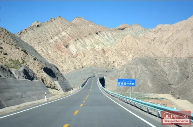
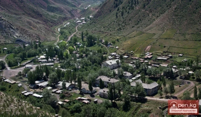
The Pamir-Alai Zone encompasses a section of the Alai Valley, which stretches along the major water artery of the south of the republic, the Kyzyl-Suu River. It is bordered to the south by the northern slopes of the heavenly Zaalai (Chon-Alai) range and to the north by the southern slopes of the Alai range. From the city of Osh, the famous Pamir Highway leads to the zone, connecting the city of Osh with the village of Gulcha and the village of Sary-Tash, which then continues to the city of Khorog in Tajikistan. This is the most "cloud-high" highway in the country.
The road from the city of Osh initially runs between hills covered with scorched grass and strewn with huge boulders, past the ancient settlement of Mady (10th-12th centuries). It winds up to the Chygyrchik Pass ("go along the path," 2406 m) and descends into the valley of the Kurshab River towards the village of Gulcha, squeezed between bare stone mountains. Seven kilometers before the village of Gulcha, there is a spring with "living" water (Zhily-Suu) near the road, entirely covered with greenery. Bathing in the spring restores strength, alleviates pain, and heals skin diseases. The crystal-clear water has a temperature of 29 degrees and a slightly salty taste.
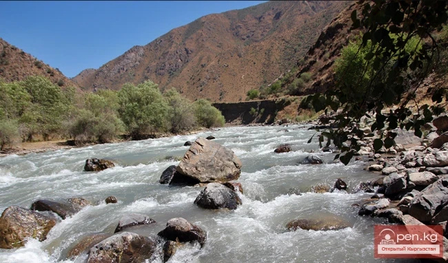
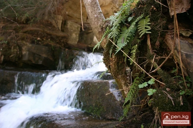
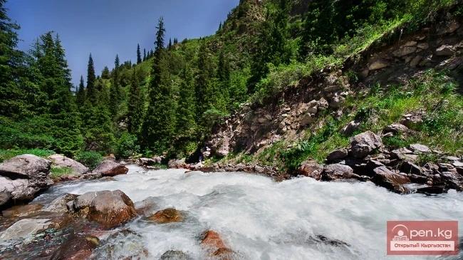
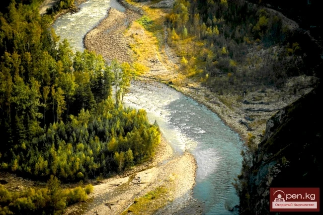
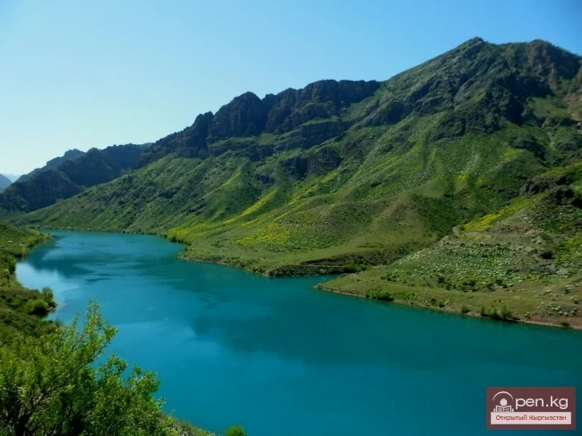
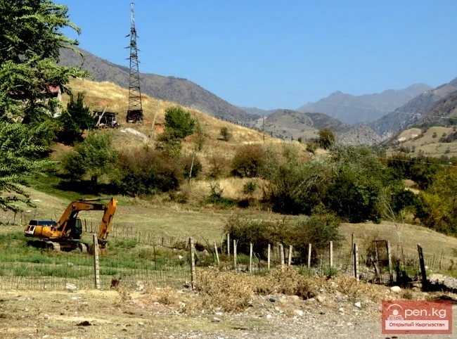
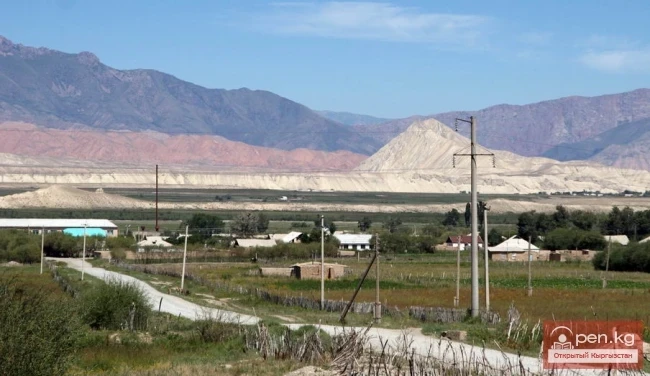
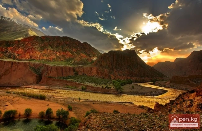
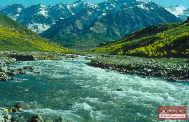
The valley of the Kurshab River (in the upper reaches - Gulcha) is surrounded by reddish mountains, covered with green grass in spring and scorched by August. The valley floor is generously covered with grass. To protect the floodplain vegetation and pheasants, the Gulcha Forest Reserve has been established.

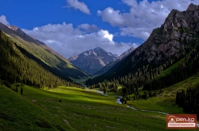
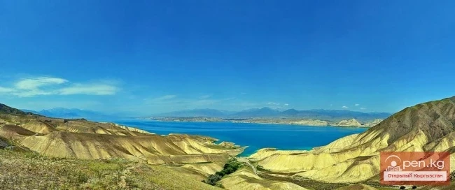
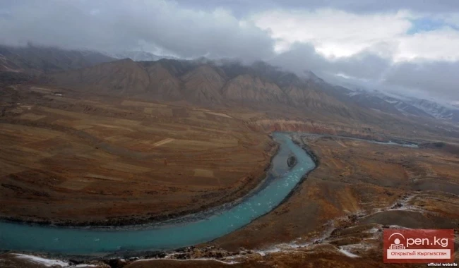
The road ascends through dizzying serpentine turns to the Taldyk Pass (3615 m), which serves as the gateway to the Alai Valley. Along the Pamir Highway, one can find stone and metal pyramids or plaques installed at the sites of drivers who perished while navigating the road. A route runs along the valley from the village of Sary-Tash to the village of Daraut-Korgon. The village of Sary-Tash ("yellow stone") is the threshold of the Altai Valley and is located three to four hours' drive from Osh. The distance is short, but the contrasts are striking — at the beginning of the journey, it is sweltering summer, while in the valley, even in May, snow lies on the ground. This valley is one of the largest high-altitude valleys in Central Asia. It is located between the Alai and Zaalai ranges on the border with Tajikistan. Its altitude ranges from 2500 m in the west to 3500 m in the east, with a length of 150 km and a width of 25-40 km. Tourists at this altitude typically drink "quick" tea and eat undercooked meat, as water here boils at a temperature of 90 degrees.
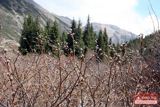
In winter, strong winds blow in the Alai Valley, with frosts reaching up to 50 degrees, and everything is covered in snowdrifts. In summer, the valley is characterized by green flowering expanses. On sunny days, it is very hot, while at night, the refreshing coolness of the highlands burns the face. The black sky is dotted with large stars. In bad weather, low, gloomy clouds cover the entire valley down to the ground. The air is filled with blinding flashes of nearby lightning. Thunderous roars echo, reflected off the mountains, repeating multiple times. It leaves an impression of the end of the world. And then again, a clear, welcoming morning. It is dry, windy, and frosty; breathing is intermittent, and there is a throbbing in the temples. After the harsh conditions of the highlands, it feels good to descend into the spring of alpine meadows and rush into the summer of the valleys.

The slopes of the formidable Zaalai range are three-quarters covered with snow and ice, which sparkle dazzlingly in the sun, causing discomfort to the eyes, even when shielded by dark glasses. This is the second highest area in the republic after the "Muztag" zone. Alai translates to "take the moon."
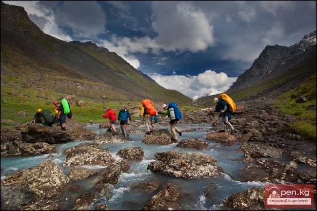
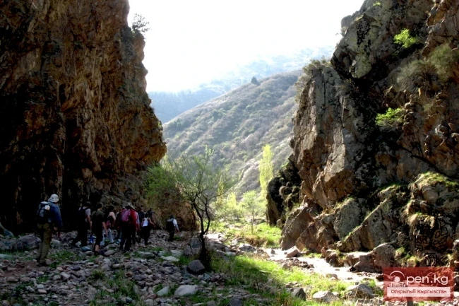
Traveling from the village of Sary-Tash through the Kyzyl-Art Pass (4280 m) along a road that runs through the bottom of a deep gorge, one can admire the highest peaks, united in a majestic panorama of mountains. The highest and most popular point of the Zaalai range is the third highest in the country and the second highest in the republic — Lenin Peak, rising to 7134 m above sea level.
The mass of the peak has an irregular pyramid shape. From the valley side, the summit is encased in an icy shell and shrouded in snow. It was first conquered in the summer of 1928 by members of the Soviet-German expedition led by Vinogradov, Alvein, and Schneider. The fourth member of the group, Krylenko, did not reach the summit that day.