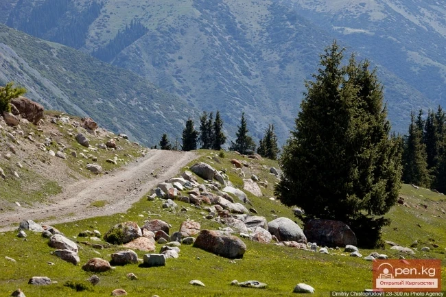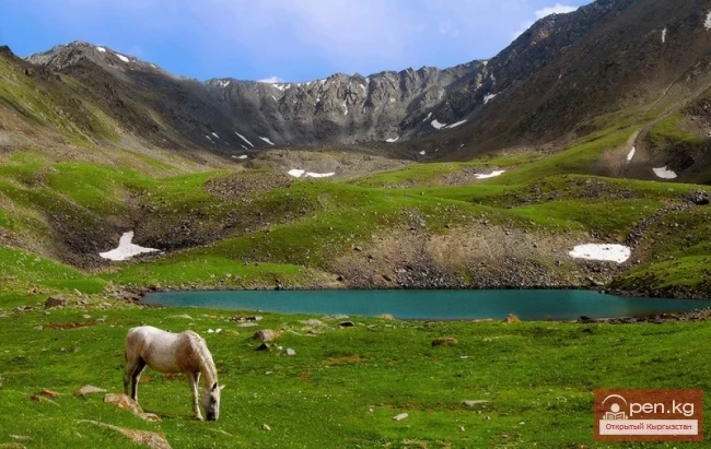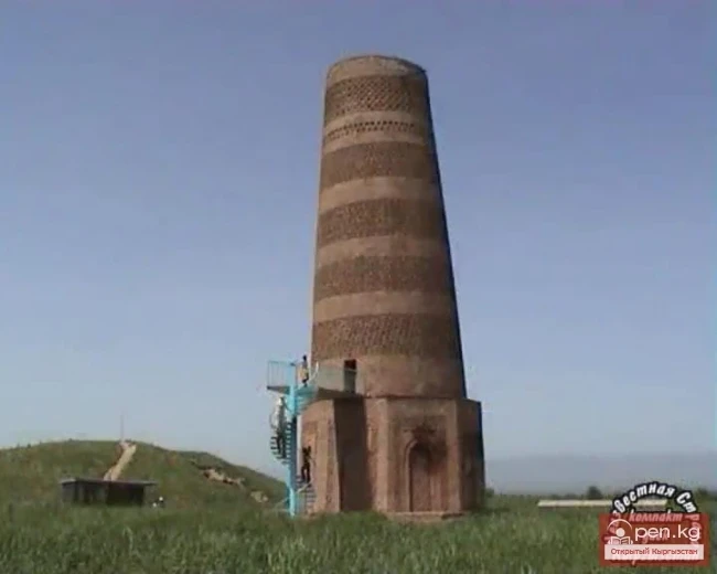
Sights of Issyk-Kul
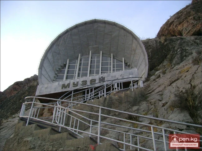
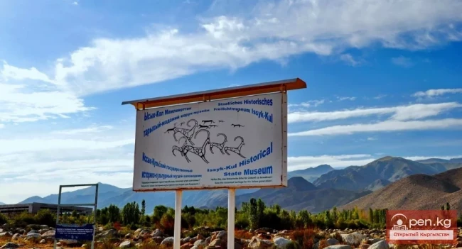
Issyk-Kul Open-Air Museum
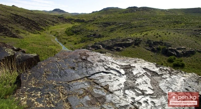
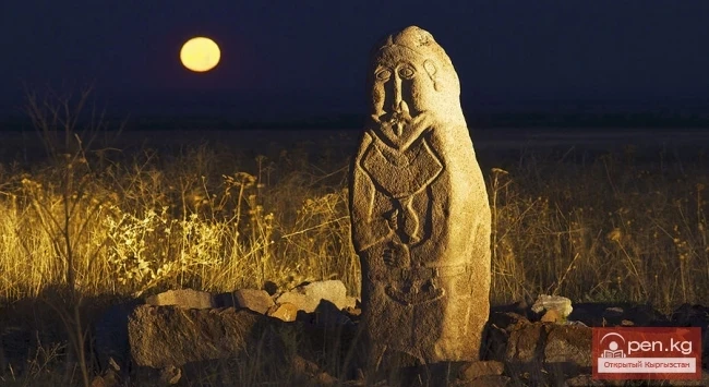
OPEN-AIR MUSEUM The land of Issyk-Kul is rich not only in legends and myths of the past. A vivid example of this is the open-air museum on the northern outskirts of Cholpon-Ata. The "exhibits" consist of about 900 stones with petroglyphs. The drawings mainly depict goats with spiral horns curled back. Some clearly show sacrificial animals and figures of camels led by caravan drivers. The scenes of hunting and games-competitions are interesting and diverse — there are horsemen in
24.12.2019, 22:52