Some of them are so large that even ten people cannot wrap their arms around their trunks. This natural monument has unique characteristics, and the geopark "Madygen" requires further research.
Local residents talk about the streams that flow through this area. People are not often encountered here. Previously, locals cut down fruit trees, among which were both dried and those that had begun to regrow from small branches. The issue of controlling deforestation was overlooked.
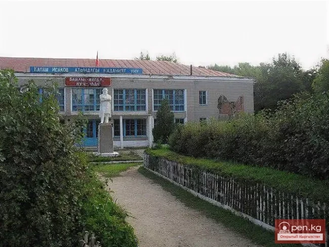
Abdisalam Yuldashev, one of the locals, shares memories of his ancestors who lived in these places until the 1950s. They then moved to an area that is now part of the village of Kulundu in the Leilek district.
Yuldashev recalls how, in his childhood, his family moved to the territory of the modern Kulundinsky ayil aimak, which at that time was a wasteland. Many families, possibly even hundreds, left their homes in the modern park "Madygen."
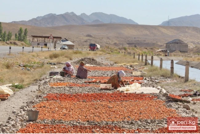
“I remember how my parents and neighbors moved to Kulundu. This resettlement process took place between 1954 and 1956 at the initiative of Ishak Razzakov. He had the gift of foresight. We were resettled to areas close to the border with Tajikistan, where a large irrigation canal was later built. I am sure that if it weren't for this resettlement and the establishment of a new village, these lands could have passed to Tajikistan. The canal built during the resettlement contributed to the development of agriculture in our village,” Yuldashev recounts.
Yuldashev also mentions that once there were forests in these lands. “Our ancestors lived within the modern boundaries of the village of Ravat. One of them, named Zholdosh, went hunting in Madygen, where he witnessed a snake attacking a boy. He saved the child, who turned out to be the son of the local ruler. As a token of gratitude, he was given a saber and a plot of land in this forest. Thus, both representatives of the 'naiman' tribe and their branches lived here.
On the territory of Madygen, there were places such as Köz-Kök, Mazar-Tal, Suuk-Bulak, and Terek-Bashy, where the grave of Khajy Abdullo Khasabi, a companion of the Prophet Muhammad, is located. This burial site has been preserved to this day. Near the Terek-Bashy spring, there were perennial trees, some of which reached 5 meters in diameter. After the resettlement, locals cut down fruit trees, but other trees still grow. The Suuk-Bulak spring has also been preserved, and every time I visit Madygen, I make a pilgrimage to this spring. I also visit a shepherd nearby and ask him about new visitors,” Yuldashev shares.
From 1954 to 1956, residents of the area that is now the Madygen park were resettled to the villages of Kulundu, Katran, Baul, Bulak-Bashy, and Ak-Aryk in the Leilek district.
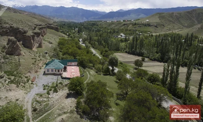
Turmush previously reported that the natural park "Madygen" is located 50 km from the regional center Batken.
The geopark "Madygen" was established under the auspices of UNESCO and is considered a potential global geopark of this organization. It contains unique geological and cultural objects of international significance, as well as various natural phenomena and picturesque landscapes. Unique species of flora and fauna have been discovered in the multicolored layers of the earth.
The geopark provides a visual representation of the geological history of the Earth.
The area includes the Sary-Too gorge, the Kan-i-Gut cave, ancient furnaces dating back to the 9th-10th centuries, the "Madygen" oasis, and a canyon.
In mid-April 2023, the Cabinet of Ministers issued a decree on the establishment of the state natural monument "Madygen" covering an area of 8160 hectares. This decision was made to protect the Madygen area, which has a unique natural heritage.
Once, the territory of Sary-Too was the bottom of the ancient Sarmatian Sea, where fossils of mollusks and plant remains from the Ordovician period, which began about 485 million years ago and lasted approximately 42 million years, are still found.
The formation of the Fergana, Alai, and Turkestan mountain ranges, which are located on the shores of the marine bay that occupied the present Fergana Valley, dates back to the Cretaceous period, which began 145 million years ago and lasted about 79 million years.
The Cretaceous period got its name from the word "chalk," which formed from sedimentary deposits of that time rich in fossilized marine organisms.
The territory of the park is an important find for scientists. Historians assert that there was once a sea here, as evidenced by the rocks, sand, and gravel found, which are characteristic of the sea floor, as well as fossils of animals.
The geopark stands out among other natural parks for its significant archaeological finds related to the Cenozoic and Mesozoic eras. Remains of more than 20,000 species of insects and animals are of considerable interest to historians and archaeologists.
Local historians claim that the territory of the natural park contains not only animal remains but also mineral resources. “Research shows that 600 million years ago this area was underwater. This is evidenced by the findings of shells, snails, and other marine mammals, as well as marine sand and landscapes. It is also worth noting the presence of mineral resources — silver and coal were mined in the Kan-i-Gut mines from the 1st to the 4th centuries AD. If detailed studies are conducted, large reserves of minerals can be discovered in this historically rich area,” noted historian Kubanych Tairov.