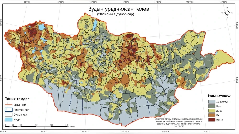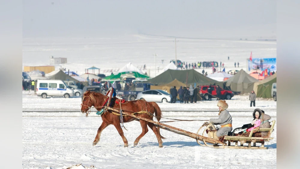
The Department of Meteorological and Environmental Analysis has published the weather forecast for February 2026.
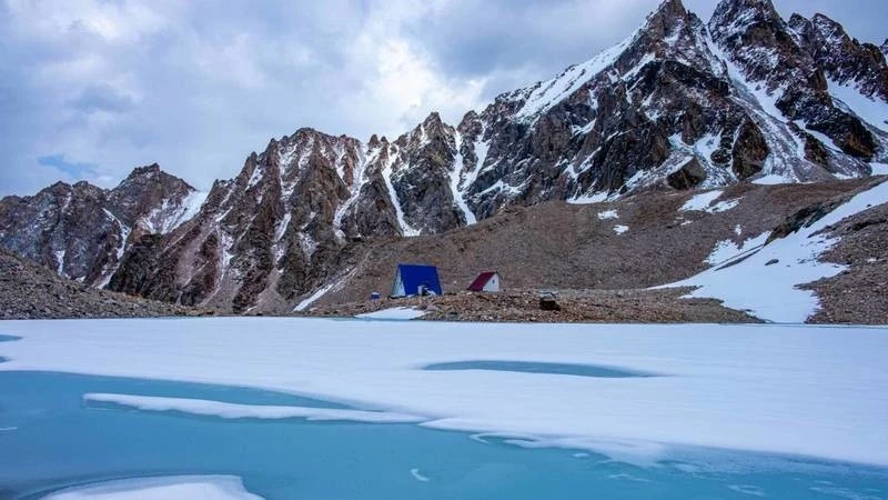
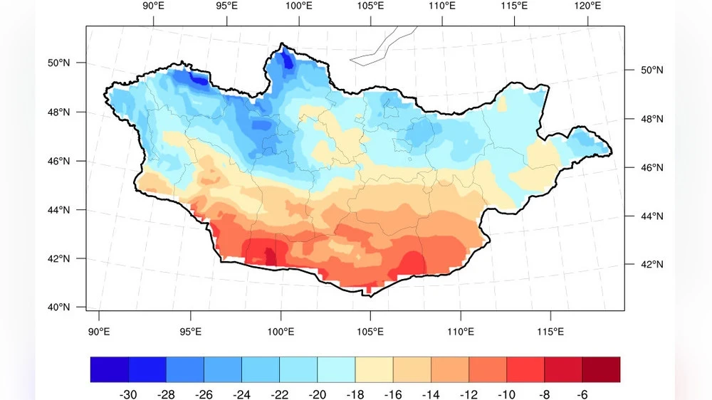
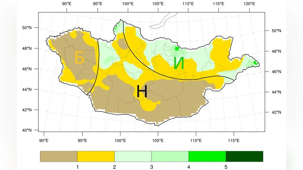
In the western aimags, temperatures this month will be approximately in line with the long-term averages for the region, while precipitation levels in Bayan-Ölgii, Uvs, Khovd, Zavkhan, and the western part of Govi-Altai will be below average, and in the other aimags, it will be roughly within normal limits.
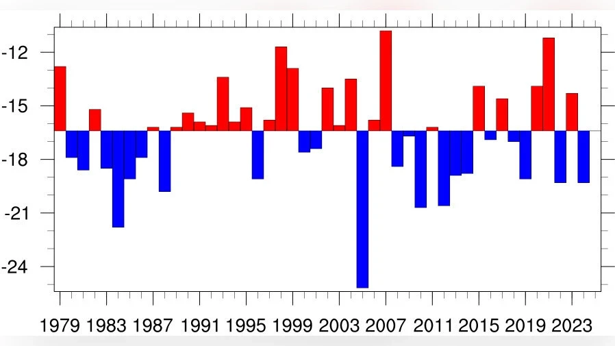
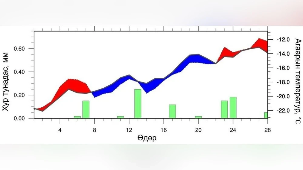
The graph presents information on temperature fluctuations and precipitation levels.
At the beginning of February, most regions are expected to have temperatures 1–3 °C above the long-term averages.
However, in the early and mid-second decade, as well as at the beginning of the third decade, temperatures may drop by 1–5 °C compared to average levels. In the middle and at the end of the third decade, warming is expected, while for the rest of the month, temperatures will remain at long-term average levels.
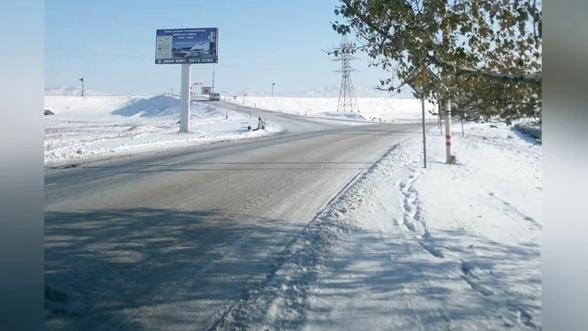
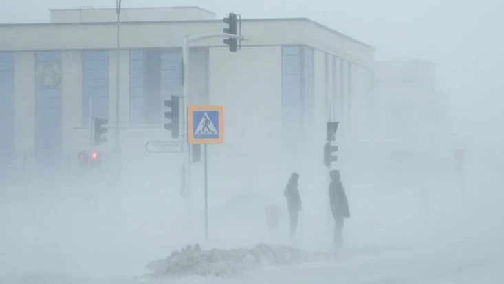
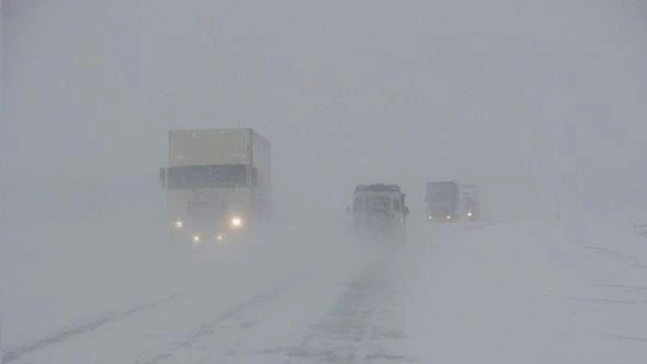
In the middle of the first ten-day period, light snowfalls are possible in some areas, while precipitation is also expected in the second and early third ten-day periods. In the middle of the third ten-day period, snowfalls, strong winds, and blizzards are possible in most places.
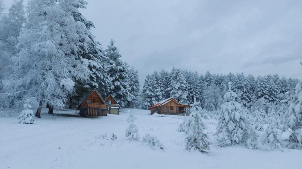
In the Central aimags, the average air temperature this month will be below long-term averages in Bulgan, Selenge, Töv, eastern Khövsgöl, Arkhangai, and northeastern Övörkhangai, while in other areas it will be approximately in line with average levels. Precipitation levels are also expected to be above long-term averages in most aimags of Khövsgöl, Bulgan, Selenge, Töv, and northeastern Arkhangai, while in other areas it will be at normal levels.
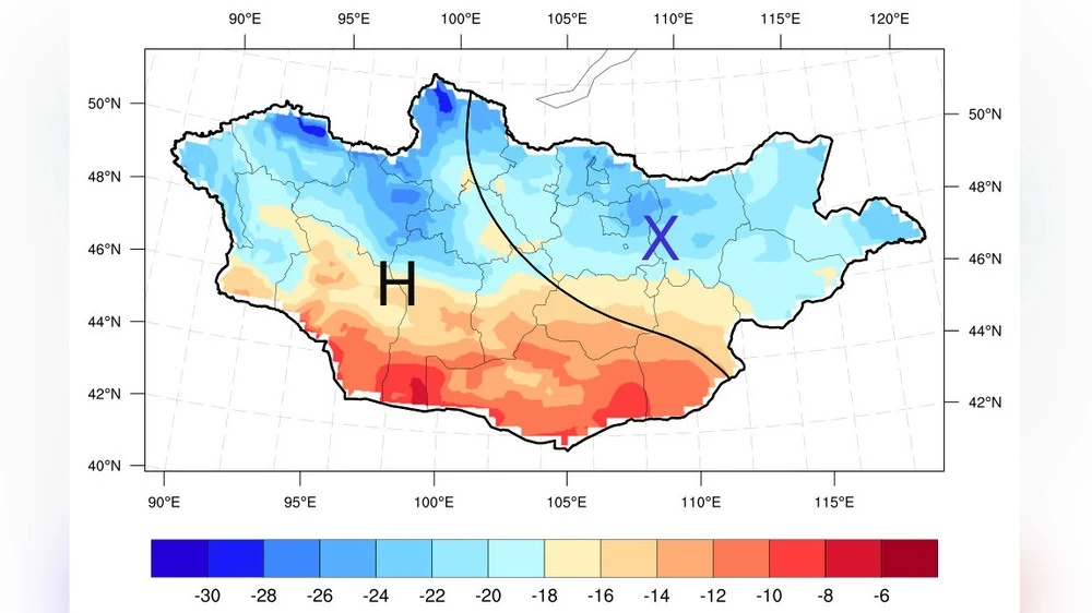
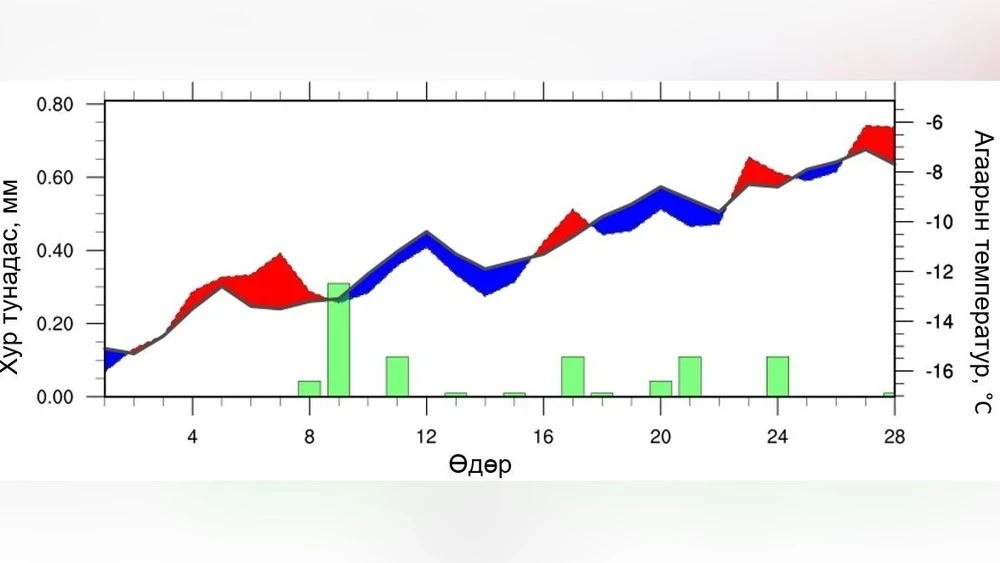
The chart of temperature changes and precipitation levels is presented in Figure 8. At the beginning of the month, despite the increase in daytime temperatures, it is expected that by the end of the first ten days and during the second half of the second decade, temperatures will be 1–5 °C below average levels. However, in the middle and at the end of the third decade, warming is forecasted, while at other times, temperatures will correspond to long-term averages.
Heavy precipitation, accompanied by snow and wind, is expected at the end of the first ten days, as well as at the beginning and middle of the second and third ten-day periods.
In the eastern aimags, it is expected that the average air temperature in February will be below the long-term level, while precipitation will be close to average levels in the southern part of Sukhbaatar and above average in other areas. The dynamics of temperature and precipitation are presented in Figure 9. At the beginning of the month, daytime temperatures will be above average, while by the end of the first ten days, in the beginning and middle of the second decade, as well as at the beginning of the third decade, temperatures are predicted to be 1–5 °C below long-term averages.
Temperatures in the middle and last ten days of the third period are likely to rise, while at other times of the year, they will correspond to long-term averages. Snowfalls and strong winds are expected at the end of the first ten days, in the middle and last ten days of the second, as well as in the middle of the third period.
In the Gobi aimags, the average monthly temperature is expected to be below long-term averages in Dundgovi, the northern part of Dornogovi, and Govisumber, while in other areas it will be at average levels. It is expected that precipitation levels in Govisumber will be above average, while in other regions it will be approximately at normal levels.
At the beginning of the month, in most areas, temperatures will be 1–4 °C above long-term averages.
However, in the early and mid-second decade, as well as at the beginning of the third decade, temperatures may be 1–3 °C below long-term levels; while in the middle of the second decade, as well as in the middle and end of the third decade, temperatures above long-term averages are forecasted, and at other times of the year, temperatures will remain at average levels.