The area of unused arable land prone to landslides and mudflows in Kyrgyzstan has decreased over 5 years from 955 ha to 211 ha.
This figure is significantly lower than in 2021, when 955 hectares were recorded, which is more than four times the current figure.
The largest reduction in areas is observed in the Osh region, where the area of unused arable land decreased from 770 hectares in 2021 to 108 hectares in 2025. In the Jalal-Abad region, this figure fell from 95 hectares to 73. The Issyk-Kul region shows the most drastic decline: from 18 hectares in 2021 to the complete disappearance of such lands in 2024-2025.
The Talas region also noted a decrease in the area of unused land from 31 hectares to 12 hectares, while in the Chui region, this figure dropped from 41 to 16 hectares over the specified period.
It is worth noting that data on unused lands for the Naryn and Batken regions have been absent throughout the entire period under consideration.
Read also:
Across the republic, more than 1.5 million tons of grain have been harvested since the beginning of the year.
- As of now, in 2025, grain crops (excluding legumes, rice, and buckwheat) have been harvested from...
In Batken Region, the areas for sowing winter grain crops are being increased
In the Batken region, it is planned to sow 7,300 hectares of winter grain crops, as reported by the...
What is the price of "white gold" in Nooken this year?
This year, in the Nooken district of the Jalal-Abad region, the price for 1 kilogram of cotton,...
In the Chui District, sugar beets were harvested from 600 hectares.
In 2025, the area allocated for sugar beet in the Chui region amounted to 1,559 hectares, as...
The damage from all types of emergencies in 2024 amounted to over 1.3 billion soms.
In 2024, Kyrgyzstan experienced 133 incidents classified as emergencies, resulting in the loss of...
In Kyrgyzstan, 250,000 hectares of winter crops will be sown for the 2026 harvest, - Ministry of Agriculture
- In the Kyrgyz Republic, it is planned to sow winter crops on an area of 250 thousand hectares for...
The State National Security Committee returned 226 hectares of agricultural land in the Issyk-Ata district to state ownership.
- The State Committee for National Security (GKNB) has restored 226 hectares of agricultural land...
The state returned lands in the Chuy region (photos, videos)
The press service of the State Committee for National Security (GKNB) reported the return of 226...
In Kyrgyzstan, pastures occupy 45% of the country's territory
- Pastures in Kyrgyzstan account for 45% of the country's total area, according to an IFAD...
In the Talas Region, 70.8 thousand tons of beans have been harvested
- In the Talas region, the bean harvest this year amounted to 70.8 thousand tons, as reported by...
More than half of Kyrgyzstan's wetlands are located in the Chui region (interactive map)
Based on data from the National Statistical Committee, by the beginning of 2025, the total area of...
There are 21 professional theaters operating in Kyrgyzstan
According to information provided by the National Statistical Committee, there are currently 21...
Ak-Suysky District Prepares for Spring: Autumn Irrigation Covered Nearly 9,000 Hectares of Land
In the Issyk-Kul region, in the Ak-Suu district, autumn irrigation is being carried out, affecting...
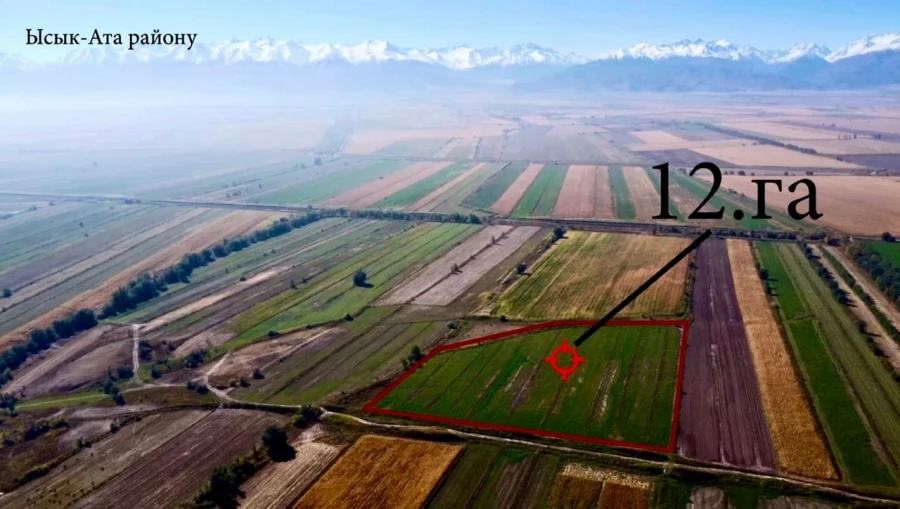
In Issyk-Ata, 226 hectares of land have been returned to state ownership.
The land plots were illegally transferred from municipal ownership over 20 years ago In the Chuy...
In Kyrgyzstan, the harvest is coming to an end. Authorities reported on the results.
According to the latest data as of October 23, farmers in Kyrgyzstan have completed the harvest of...
The state regained lands worth 150 million
As part of the investigation into a criminal case related to corruption, 6 hectares of land within...
Every year, approximately 10.9 million hectares of forest disappear worldwide.
According to information from the UN News Service, forests are under serious threat due to climate...
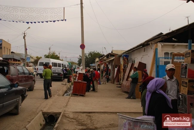
Batken
Batken is a city in Kyrgyzstan, the administrative center of Batken Region and District. The...
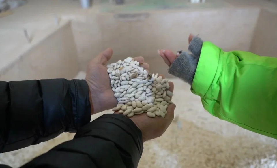
The bean harvest in Talas reached nearly 71 thousand tons
This year, the total mass of beans harvested in the Talas region amounted to 70.8 thousand tons....
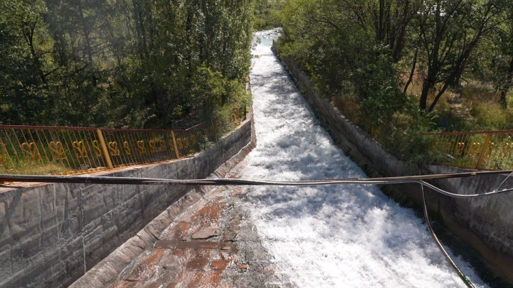
Active autumn moisture-charging irrigation is underway in Kyrgyzstan
According to information provided by structural divisions, irrigation of 220 thousand hectares of...
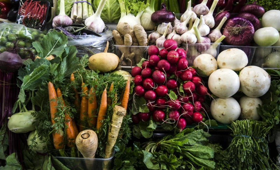
The highest vegetable yield recorded in Chuy and Osh regions
The harvest campaign for agricultural crops is coming to an end in Kyrgyzstan. According to the...
Wind power plants are planned to be installed on 1000 hectares in the Aksy district.
In the Jalal-Abad region, in the rural municipality of Kosh-Dobo in the Aksy district, the...

Farmers in the Batken Region Voluntarily Transferred 8.5 Hectares of Land to the State
In the 1990s, the plots were unlawfully transferred to private ownership. In the Batken region,...
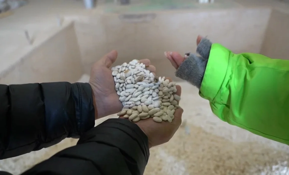
The bean harvest in Talas reached nearly 71 thousand tons
In 2023, the Talas region harvested 70.8 thousand tons of beans, as reported by the Ministry of...
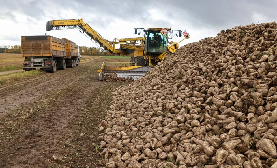
In Chui Region, a record yield of sugar beets has been recorded
In the Chui region, particularly in the Moscow district, outstanding results have been achieved in...
In Kyrgyzstan, 2,900 deaths from neoplasms were registered from January to August.
According to data from the National Statistics Committee, since the beginning of 2025, there have...

The construction of the city of Asmana has begun — the largest urban project in the Kyrgyz Republic.
On the shores of Issyk-Kul, an official ceremony was held to mark the start of construction of...
The highest industrial growth rate in the republic was recorded in the Naryn region — 176.9%
- In the first eight months of 2025, the volume of industrial production in Kyrgyzstan reached...
In a year, the number of cases of domestic violence increased by 31.2%
According to information provided by the head of the department for the prevention of domestic...
President Sadyr Japarov familiarized himself with the progress of construction of the central park in Talas
President Sadyr Japarov visited the Talas region on November 13, where he familiarized himself with...
In Kyrgyzstan, retail trade turnover grew more than in other CIS countries
According to information published by the Interstate Statistical Committee of the Commonwealth,...
The illegally privatized plots in the Batken region have been returned to the state
The State Security Service (GKNB) has returned to the state balance land plots with a total area of...
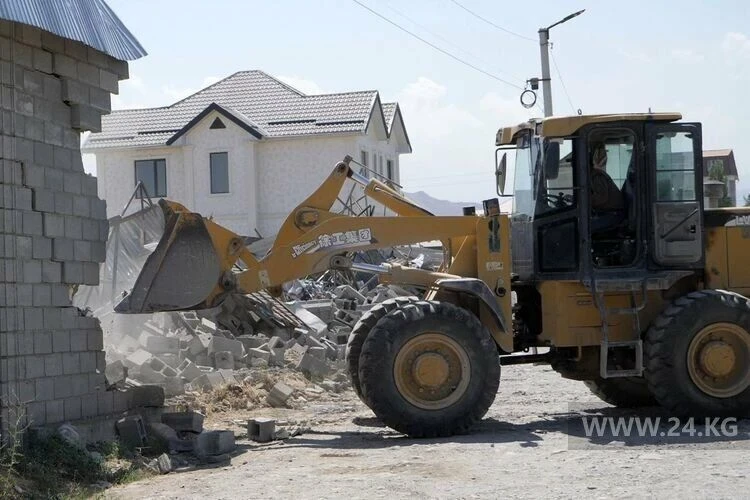
Scandalous demolition of houses in Kok-Zhar - the land has been returned to the state
Photo 24.kg. Demolition of houses in the residential area in August 2025, archival photo According...

Fresh data on the population of Kyrgyzstan has been published
As of September 1, 2025, the permanent population of the Kyrgyz Republic reached 7 million 361...
More coal is being imported from Kazakhstan to Kyrgyzstan
According to data published by the National Statistical Committee, from January to August of this...
The GDP of Kyrgyzstan reached 380.5 billion soms with an increase of almost 11 percent
The volume of gross domestic product of Kyrgyzstan amounted to 380.5 billion soms, which...
Sunflower seed exports increased 6.5 times in 8 months
During the first eight months of the current year, sunflower seed exports from Kyrgyzstan...

In Kyrgyzstan, the cultivation of citrus plants has increased.
The republic is actively developing the cultivation of mandarins, oranges, lemons, and kumquats....
In the Issyk-Ata village of Jaiylma, a concrete cover is being laid in the canal to supply water to 150 hectares of land without losses.
In the Issyk-Ata district, in the village of Jaiylma, work has begun on laying a concrete surface...
The Head of the National Statistics Committee spoke about the structure of industrial production in Kyrgyzstan from January to October 2025.
- During a press conference organized by the National Statistical Committee, the head of the...
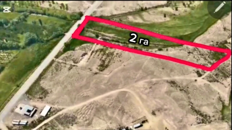
In Batken, plots of land with a total area of 8.5 hectares have been voluntarily transferred to the state.
It has been reported that illegally privatized land plots have been returned to the state during...
The new master plan for Osh will cover over 35 hectares of land: the development of the document has begun.
The city of Osh is entering a new phase of development: the development of a master plan covering...
The state has regained 80 hectares of land associated with the organized crime group of Kamchi Kolbaev.
During the investigation of a criminal case concerning the financing of activities of organized...