GIS technologies will help track resources and infrastructure
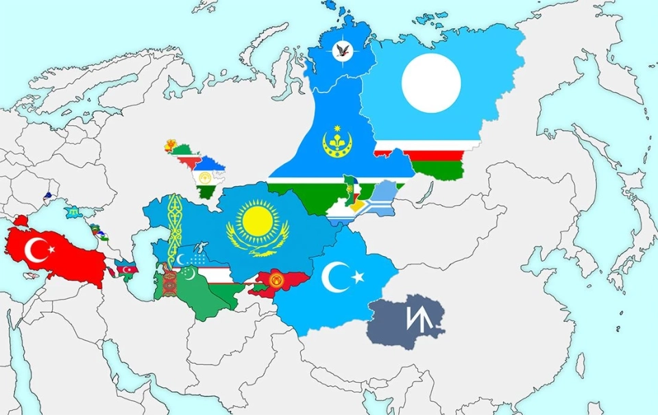
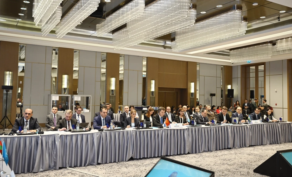
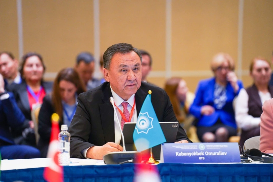
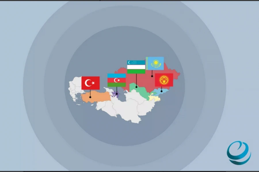
At the second meeting of the Working Group on Cartography of the Turkic Council, held in Baku, Kyrgyzstan presented a new general map for the member countries. This was reported by TurkicWorld.
The Deputy Director of the State Service for Cartography and Geodesy, Narynbek Isabekov, noted: “We have developed a unified map of the Turkic states, which illustrates the scale of our region and emphasizes its significance in the future global context.”
One of the key goals of creating this map is the integration of a GIS system, which will allow for the visualization of terrain, as well as tracking mineral resources, transport and logistics infrastructure, the location of state and military facilities, and strategically important enterprises.
Photo www